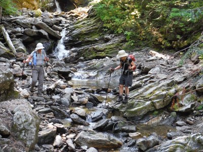
Field trip: Conditioning Hiking Series
CHS 1 Hike - Lost Valley Loop
An 8 mile loop in the capital forest. CHS hike led at a CHS 1 pace (1.5-2.0mph).
- Thu, Jun 19, 2025
- Seattle Hiking Committee
- Day Hiking
- Adults
- Moderate
- Moderate
- Mileage: 8.8 mi
- Elevation Gain: 1,261 ft
- High Point Elevation: 5,065 ft
- Pace: 1.5 -2.2mph
- 2 (6 capacity)
- 1 (2 capacity)
- Tue, Jun 3, 2025 at 7:41 PM
- Tue, Jun 17, 2025 at 5:00 PM
- Cancellation & Refund Policy
- iCal Google
TBD to be sent with hello hiker email.
Route/Place
Roster
Required Equipment
Required Equipment
Ten Essential Systems
- Navigation (map & compass)
- Sun protection (sunglasses & sunscreen)
- Insulation (extra clothing)
- Illumination (headlamp/flashlight)
- First-aid supplies
- Fire (waterproof matches/lighter/candle)
- Repair kit and tools
- Nutrition (extra food)
- Hydration (extra water)
- Emergency shelter (tent/plastic tube tent/garbage bag)
Trip Reports
