Trip Report
Alpine Scramble - Seymour & Yakima Peaks
Two good scrambles wrapped up in one beautiful day, with solid rock and obvious gulleys.
- Sun, Sep 22, 2024
- Alpine Scramble - Seymour & Yakima Peaks
- Naches, Yakima & Seymour Peaks
- Scrambling
- Successful
-

- Road suitable for all vehicles
-
- Road Conditions: Suitable for all vehicles (fully paved).
- Route Conditions:
- PCT section is easy terrain with some protruding rock but well worn and easily graded.
- Off-trail portion is vague to nonexistent in places, with game trails providing extra confusion. Recommend GPX track or good map and compass skills.
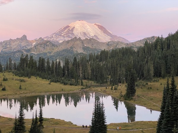
The morning started slightly on the chill side, with clear skies standing over the shadow of the landscape and the sun just beginning to peer over Tahtlum Peak to the East. Our group of seven started at 7:19AM on the PCT at a brisk pace in high spirits.
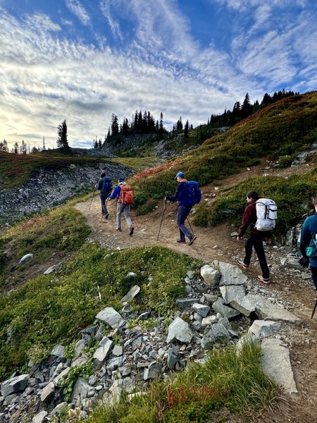
We covered ground quickly and began to look for any signs of a bootpath at about 2.3 miles, having a few tracks to follow. After seeing some possible routes but lacking enough clarity to trust we left the PCT at 3300’ and headed into the sparse woodlands on a southern course along the suggested park boundary. As noted by Chris Pribbernow, many game trails had us wondering which to follow, and keeping to a bearing is wise here. After a short steep descent we rediscovered the boot path which winds through alpine meadows, lost sometimes in grasses but easily found again, mixed with elk and deer tracks at several small creek crossings.
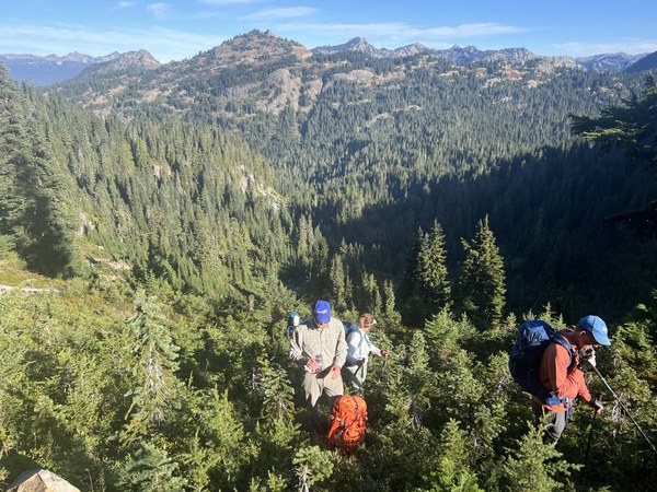
At about 3.3 miles we found ourselves at a decision on how to approach the obvious gulley to gain the ridge, moving to gain elevation quickly. As it was we missed the bootpath that had disappeared in an odd sand patch and did some bushwhacking through steep young trees. On reaching the ridgeline the bootpath was clear again and so we followed it directly to the rock towards the summit.
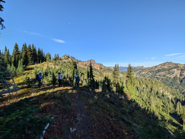
Reaching steep rock we were unsure of the optimal path up to the summit. Previous trip reports note class 2, but Chris’ again was most helpful, noting that there is certainly class 3 terrain to traverse and so up we went after a short exploration to the south yielded inhospitable rock.
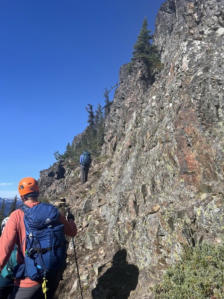
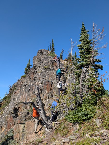
Across some more rocky ridgeline we thought ourselves cliffed out until a quick peer around a rock showed us a nearly hidden saddle and a path forward.
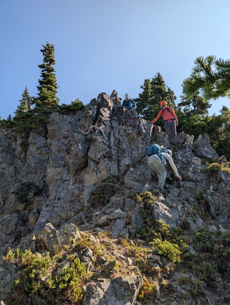
Keeping the ridge was the next step, and we weaved back and forth depending on loose rock or vegetation, but the way is straightforward for the most part.
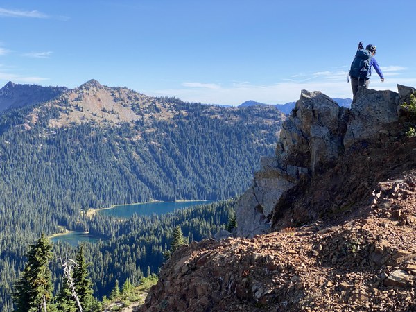
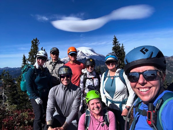
After a break on the summit we headed back the way we came. Much of the intimidating sections were much friendlier than we expected which was a nice surprise. And we saw goats!
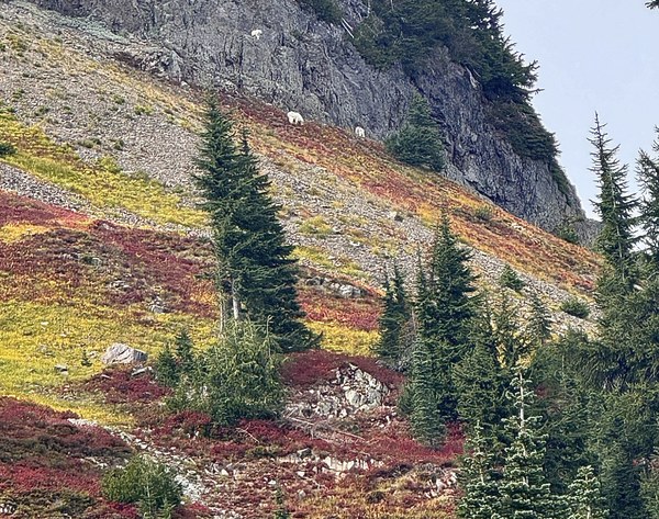
After a break at the parking lot to regroup we made for Yakima, our second objective. The bootpath starts a few dozen feet from the lot up the PCT, and gets lost frequently in the steep vegetation. There's really only one objective: head to the saddle aiming for a little closer to Yakima than Deadwood.
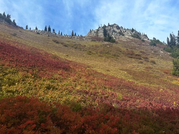
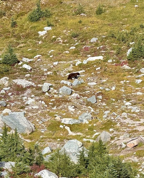
Once we broke past the trees we skirted high above the saddle across the boulder and scree to a faint zig-zag path up towards a notable gulley. Our GPX traversed low but we decided the gulley would go and it cut a remarkable two miles from our round trip! We also spotted a bear from the gulley entry.
We kept climber's right up the gulley which was damp and consolodated, making for a relatively easy ascent.
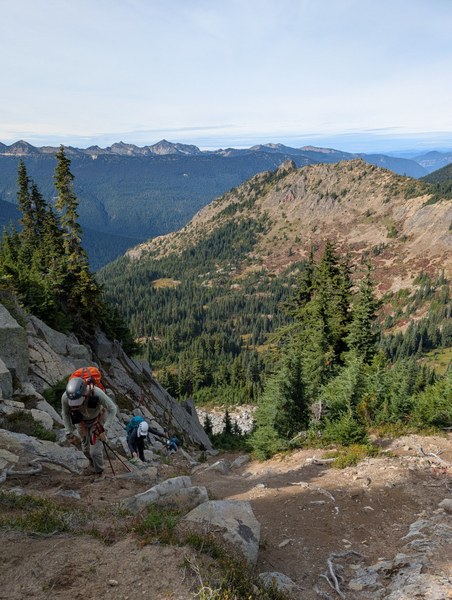
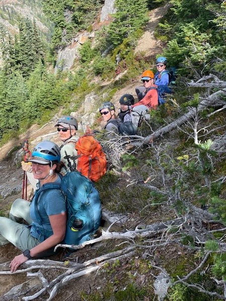
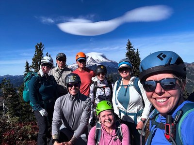
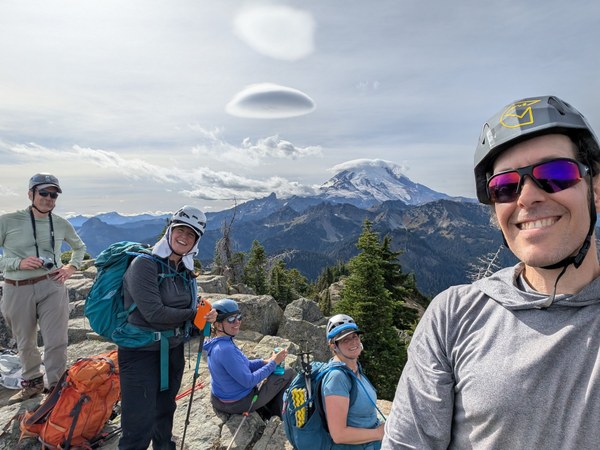
From there it was a simple short scramble to a wonderful flat-top peak. So much room to hang out, and great views of Tahoma, Tipsoo Lake and the many peaks surrounding us!
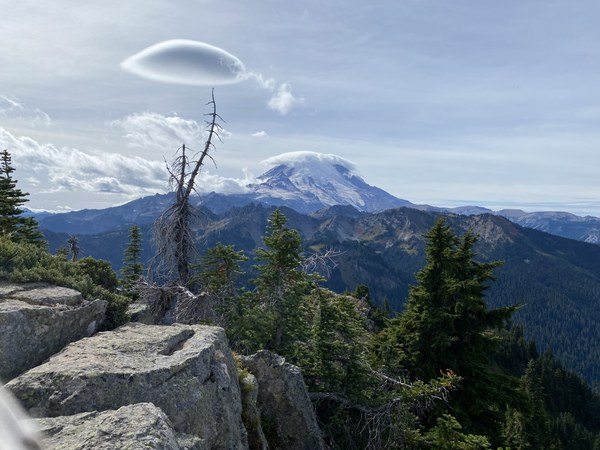
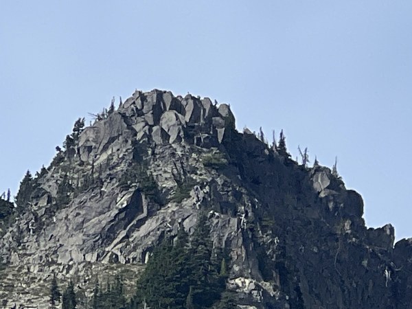
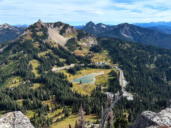
After a careful descent back down the gulley and some distraction picking the bears' huckleberries we made it safely back to the lot for a total trip length just minutes shy of nine hours.
 Neal Stein