Hurricane Ridge * Elwha North, WA No. 134S
Green Trails Maps
Description
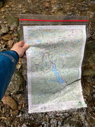
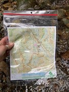
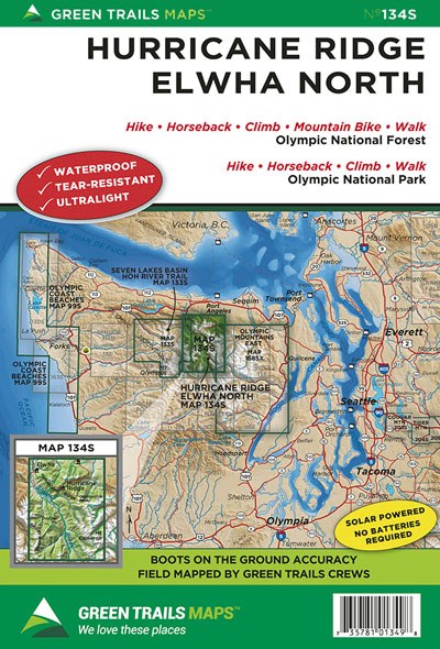
This wonderfully detailed map highlights two of Olympic National Park’s most popular hiking areas. If you’re planning on exploring the park’s accessible alpine meadows at mile high Hurricane Ridge; or exploring the old-growth forests, old homesteads, and deep wilderness along the free-flowing Elwha River Valley, this map has you covered. Map 134S includes the following trails: Lake Angeles, Heather Park, Grand Ridge, Grand Valley Upper Cameron Creek, Little River, Hurricane Hill, Long Ridge to Dodge Point, Hayden Pass and the entire upper Elwha Valley trail system from the Madison Falls Nature Trail to the Elwha River Trail just beyond the Hayes River. Map also includes the new trails in the former Lake Mills Area as well as a detailed close-up inset (1:24,000 scale) of the nature trails, and recreational facilities in the heart of Hurricane Ridge.
Original Edition 2005; Light Revision 2019
Map Scale 1:50,000 with 1:24,000 inset of Hurricane Ridge
CLICK HERE to search all maps via Green Trails interactive map feature.
Original Edition 2005; Light Revision 2019
Map Scale 1:50,000 with 1:24,000 inset of Hurricane Ridge
CLICK HERE to search all maps via Green Trails interactive map feature.
