Seven Lakes Basin * Hoh River Trail, WA No. 133S
Green Trails Maps
Mountaineers Members Discount
Log in to access the promo code and receive 20% off your order.
Description
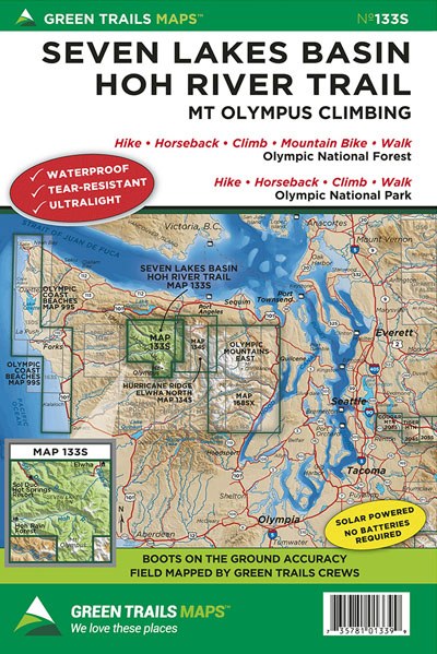
From Olympic Hot Springs to the summit of 7969-foot Mount Olympus, highest and snowiest summit on the Olympic Peninsula, this maps contains some of Olympic National Park’s finest trails and iconic locations. Map 133S contains the entire Hoh River Trail from the Hall of Mosses to Olympus’ Glacier Meadows. Map 133S also highlights the Sol Duc River Valley and legendary High Divide; a lofty mile high ridge teetering above the emerald Hoh Rain Forest and within the shadows of Mount Olympus. Find on this map as well, quieter but equally beautiful locations—the North Fork Sol Duc River, Little Divide, Happy Lake Ridge, Appleton Pass and Cat Basin Primitive Trail in the awe-inspiring Bailey Range. And map 133S includes a 1: 24000 scale close up of the Mount Olympus massif and its climbing routes.
Original Issue Date 2004; Latest Revision 2016
Map Scale 1:50,000 with 1:24,000 inset of Mount Olympus
Original Issue Date 2004; Latest Revision 2016
Map Scale 1:50,000 with 1:24,000 inset of Mount Olympus
