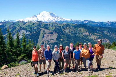
Field trip: GoHike: Beginner Hiking Course
September Hikes: 4 to 8 miles, 750 to 2,000 feet gain - Dosewallips River/Abandoned National Park Road
This is one of my favorite river hikes. Don't be scared, we won't be hiking 13 miles! We will turn around at 4-5 miles. This hike counts toward your monthly required GoHike course September trips.
- Sat, Sep 27, 2025
- Foothills Hiking Committee
- Day Hiking
- Adults
- Moderate
- Moderate
- Mileage: 8.0 mi
- Elevation Gain: 1,000 ft
- High Point Elevation: 1,200 ft
- Pace: 1.5-2 mph, depends on elevation
- 1 (6 capacity)
- FULL (2 capacity)
- Fri, Aug 1, 2025 at 8:00 AM
- Tue, Sep 23, 2025 at 5:00 PM
- Cancellation & Refund Policy
- iCal Google
My Goals and Expectations and My Hiking Style for this hike are as follows:
- Stay safe.
- Have an enjoyable time as a group in a beautiful place.
- We’ll aim for a 1.5-2 mph pace and adjust as needed so everyone is comfortable. Please note that my priority is to be inclusive, and that we will slow down if needed for everyone to participate comfortably and safely. Also, I personally am slow on uphills and downhills. If you are looking for a fast-paced hike, this may not be the best fit for you.
- I like to do a mindfulness period of about 10 minutes during my hikes. This is usually after the main snack break, so the group will have ample chances to chat and socialize prior to the mindfulness period. During this time, I will ask for everyone to be silent and focus on the environment around them, using all 5 senses for maximum enjoyment. I’ll let the group know when this will start and end. I’ll ask afterwards if anyone has anything they want to share; that’s totally voluntary, up to you.
Meet at the Dosewallips River Trailhead (at end of the Dosewallips River Road) at 0900, ready to hike at 0915. No bathrooms at the trailhead, but there are bathrooms at Seal Rock Campground (north of turnoff) and Dosewallips State Park (south), both nearby just off of US 101. Please give yourself an extra 15 minutes to find the bathrooms if you don't know the area. Trailhead is at the end of the Dosewallips River Road, off of US 101 near Brinnon, right turn if coming from the north, left if coming from the south. An America the Beautiful or NW Forest Pass is required. More details will be sent in Hello Hiker email. WTA link with directions and description: Dosewallips River Road — Washington Trails Association.
Dosewallips River/Abandoned National Park Road
-
Green Trails Olympic Mountains East No. 168S
Green Trails Tyler Peak No. 136
Green Trails The Brothers No. 168
Green Trails Mt Steel No. 167
Custom Correct Gray Wolf - Dosewallips
Custom Correct Buckhorn Wilderness - See full route/place details.
Required Equipment
Your leader will send out a Hello Hiker email prior to the hike with details on the hike, as well as recommended and required equipment.
