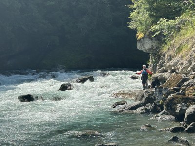
Trip Report
Whitewater Packraft - Elwha River
Good trip exploring two stretches of the Elwha River - one day hiking to Glines Canyon and down to Highway 101, then next from Highway 101 to the ocean.
- Sun, Jun 15, 2025 — Mon, Jun 16, 2025
- Whitewater Packraft - Elwha River
- Elwha River
- Packrafting
- Successful
-

- Road suitable for all vehicles
-
The Elwha gauge was around 1300 CFS on both days of the trip. This was an excellent flow - not low enough to run aground, but not high enough to be too pushy. American Whitewater calls the Elwha runnable down to 500 CFS, but I'm not sure it would be a fun trip below 1000.
This trip was a pair of day trips - first, hiking up from Madison Falls trailhead to the old dam site in Glines Canyon to paddle the Glines Canyon to Highway 101 segment, then doing a car-to-car paddle of the segment from Highway 101 to the ocean.
Glines Canyon to Highway 101
We staged a car at the highway (large parking lot on river right from bridge construction, but best river access is on river left, both upriver of the highway bridge) and drove up to the popular Madison Falls trailhead. There is a bit of elevation gain taking a bypass trail around the washed-out road, but most of the walk is straightforward to Altair. Just past Altair, AW claims that there are wooden steps down to access the class IV rapid for scouting. We couldn't find this and bushwhacked down a faint user path (unpleasant but short) somebody else had made. One paddler decided to stay there and put in below the class IV rapid, and the rest of us hiked up to Glines Canyon and the old dam overlook. The overlook was quite impressive and they've done a great job with exhibits and signage about the dam's history, its removal, and the recovery of the river and its wildlife. I enjoyed taking a bit of time there. We then walked down a spur road to the water and blew up our boats. The total hike including the overlook was about 5 miles and 600 feet of gain.
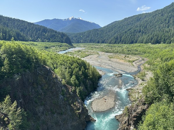
We only paddled about a third of a mile before reaching the river left portage around the class IV rapid. Most of the rapid looked doable from the scout - the river left side had a big hole, but there was a runnable channel down the center. There was one ledge with a strong sideways flow coming in as you did the drop, and it looked like a pretty decent chance you could flip if you didn't nail the brace and there would be rocks below you for the swim. We were glad to have scouted the rapid beforehand, because it looked like you might end up committed to going down the left if you tried to eddy out too close to the rapid and didn't execute it perfectly. We eddied out pretty far up and portaged maybe 100 yards. Going forward, unless I wanted to run the class IV or see the overlook, I'd probably put in just below the class IV via the bushwhack trail. The short paddling above that wasn't worth the time and effort.
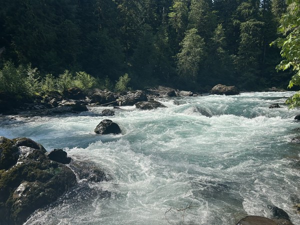
Below that, we had good scenery and fun class II and II+ wave trains. At about mile 2.1, we reached a massive island where the road had washed out years ago. We knew from satellite photos, previous trip reports, and scouting from the trail on the hike in, that the right channel was jammed with multiple major logjams. Some of them might be navigable but some certainly wouldn't be. We chose to hike the left channel as previous paddlers had done, which was almost completely dry. Apparently at higher flows there may be a bit of water so you can line boats, but we had to carry them a full half-mile to below the island. It was just walking with no scrambling, but nobody enjoyed it. This was probably the better way as opposed to taking a risk in the right channel, but it was a lowlight. Below that, we had more fun class II to the take-out at the highway. There was wood on the shore at times, but no serious wood hazards besides the island channel.
Highway 101 to the ocean
In the afternoon after the Glines run, we scouted out the class IV 'That Dam Rapid' on the old dam site of this stretch. It was a short walk on the now-closed Lower Dam Road and I would highly recommend doing so. It looked pretty big and chaotic and there's metal in there left over from the dam, which is a high-consequence hazard for inflatable boats. It was nice to be very clear about where and how we'd take out for the portage.
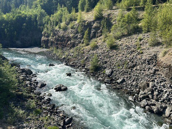
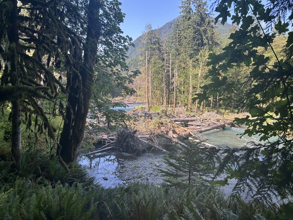
Parking and shuttling was straightforward. In general, this run had fewer rapids and more wood than the Glines stretch. It was said that this stretch had 80 man-made wood features for salmon habitat and riparian recovery, and I believe it. There was still some class II and the scenery was still quite nice.
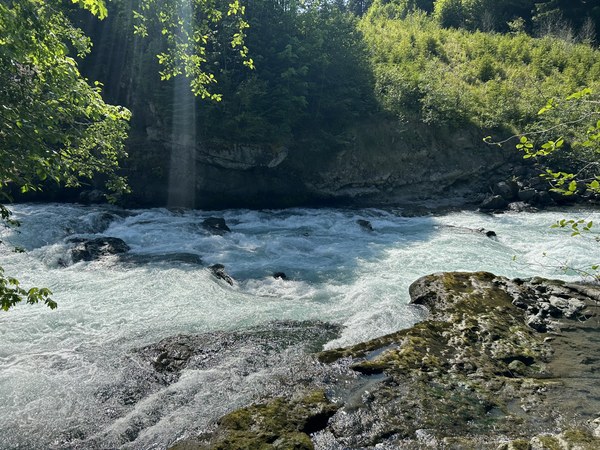
Having scouted the portage for the class IV the day before, it was fairly straightforward. An easy eddy to catch on river left, a kind of rocky scramble up 100 feet of elevation or so above a cliff, and then we found a nice trail to descend back down to the river.
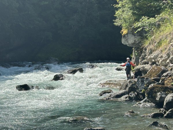
The next hazard was a weir, and we didn't know quite what to expect. We got out of our boats to scout it and there was a notch in the weir that could be run on far river left and then class II rocks below it, so we got back in and ran it without drama. There was also maybe a route to run it far river right. I would probably scout it again next time just in case something was different but it looked like it would be runnable at nearly any flows.
Just below the weir, a worker in a hard-hat was using a drone to inspect the Elwha River Road bridge and abandoned the bridge to film us instead for several minutes. There was a fish trap here with a head-height cable that required a bit of caution but not much hassle.
Below the bridge, the gradient eased off. There were very few rapids remaining, but still lots of wood and lots of wildlife - a mink (we think), jumping fish, and many birds of all sorts. We had to get out to scout one blind bend that looked woody but ended up being runnable, but had no portages other than the class IV.
I wanted to finish the run out in the ocean surf, which ended up not being ideal. The surf pushed us back to the beach on river right and the takeout is on river left, so we had to walk back upriver and ferry across. Not a big deal but next time I will just get out river left before the surf. Barnacles on rocks may be a hazard here for inflatable boats. We ate lunch, one paddler got back in to surf a few more waves, then we carried the boats about a quarter mile back to the cars.
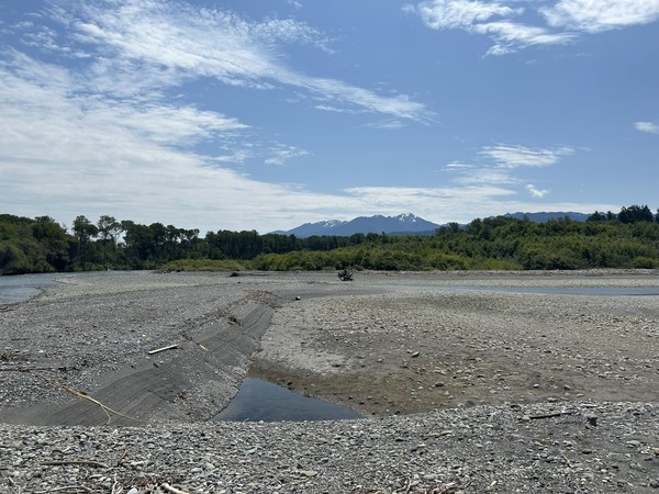
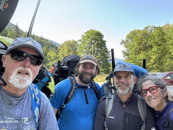
Both runs were nice with great scenery, but I enjoyed the Glines run more despite the long portage. More interesting whitewater and the hike-in factor is fun. The old dam overlook was also quite impressive. Great two days exploring a new place with a great group of paddlers!
 Alex Bond