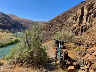
Trip Report
Bikepack - Deschutes River State Recreation Area
A great first trip on this new bikepacking route in northern Oregon.
- Sat, May 15, 2021 — Sun, May 16, 2021
- Bikepack - Deschutes River State Recreation Area
- Deschutes River State Recreation Area
- Bikepacking
- Successful
-

- Road suitable for all vehicles
-
This converted railroad bed trail is in great conditions from the beginning at Deschutes River State Recreation Area till the end of the converted part around mile 19.While it is possible to continue all the way to Mack Canyon BLM campground at mile 24 on foot, the conversion part ends at mile 19 where a former collapsed train trestle turns the double track to single first and then dead-ends in a 80 feet deep drop. Passable on foot on a boot path/class 2 scramble but not advisable with loaded bikes that would need to be carried.
A wonderful first bikepacking trip on this new bikepacking route!
We had a small but mighty team of 3 (one other participant had to cancel due to injury) and headed out on a very sunny and hot mid-May Saturday on this beautiful railroad converted trail.
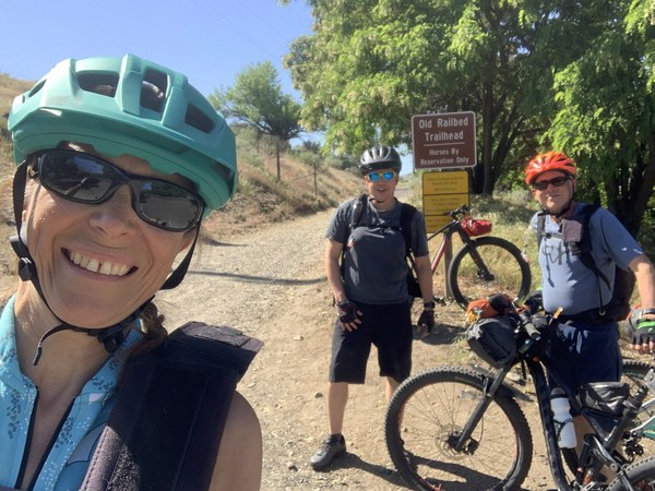
The views, geology and company made for a very pleasant ride. Not much shade along the way except for a few trees near the river. We stopped at mile 8 at one of the primitive campsites accessible by the trail which has vaulted toilets and river access and a few trees to provide shade.
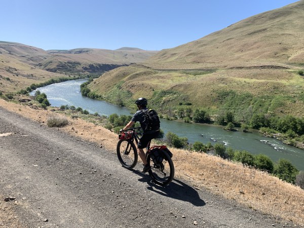
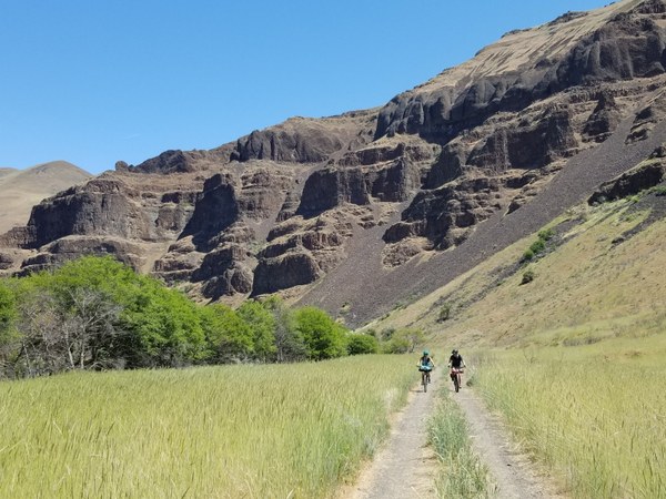
Continued on mostly smooth double track trail till mile mile 19 encountering a few wet crossings and a few rough sections of coarse gravel which our mountain bikes (and experienced riders) were able to ride through with no issue. At mile 19 (by the Snake in the Box river campsite), the trail first turns into a narrow single-track surrounded by big boulders then into an exposed single-track section with steep drop offs (we hike-a-bike this section hoping it would be short).
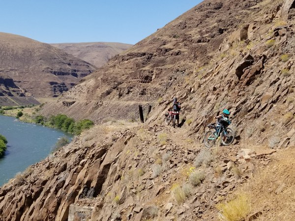
While it is apparently possible (from word of mouth of other riders) to continue all the way to Mack Canyon BLM campground at mile 24 on foot, the conversion part truly ends at mile 19 from this direction. At this point a former (now collapsed) train trestle dead-ends in a 80 feet deep drop. Passable on foot on a boot path/class 2 scramble but not advisable with loaded bikes that would need to be carried.
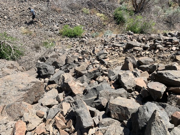
We used Tom Ungar's decision-making framework to decide whether to turn around or continue and unanimously voted to go down on foot (all in this team are experienced scramblers) and check the conditions on the other side of the trestle. There was a boot path but no real trail beyond the trestle as far as we could see which reinforced our decision to make this our turn-around point. It was also hot and we were low on water and wanted to find a campsite soon. I would recommend not going beyond the part where the double track ends other than checking it out on foot if interested in seeing the site of the collapsed trestle.
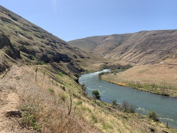
We re-traced our path through the sketchy single track and one lifted bikes over old train trestle remains
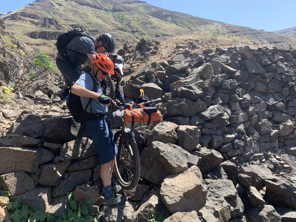
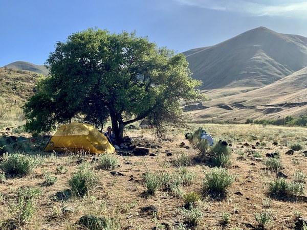
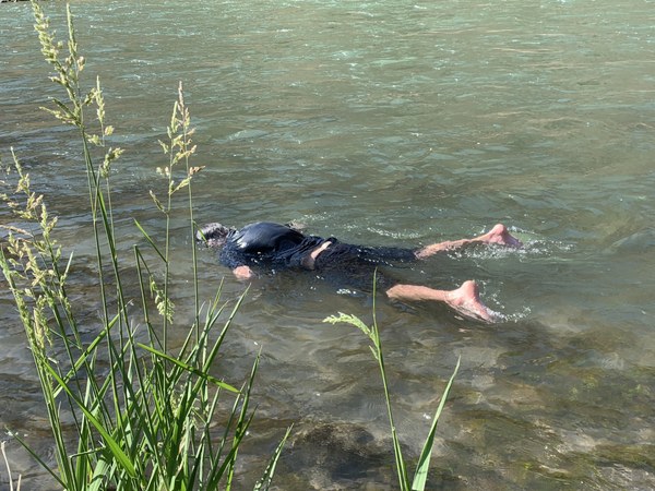
and when back on the double track trail we rode a quick 3 miles to a flat terrace by the river with two lonesome trees that worked as a good campsite for the 3 of us. There was a limited amount or rock-free surface on which to pitch tents so this would not be a good site for a big group. Easy access to water but not really a beach. We took a refreshing dip in the river. We had a pleasant evening there and nice morning at camp before retracing our way back to the trailhead the next day.
All in all a great route. I would recommend it for a month earlier with cooler temperatures and wildflowers in full bloom.
 Emma Agosta