Trip Report
Alpine Scramble - Naches Peak
A private late season attempt to gain another Rainier 100 peak ended by early season snow and ice.
- Sat, Oct 12, 2019
- Naches, Yakima & Seymour Peaks
- Scrambling
- Turned Around
-

- Road suitable for all vehicles
-
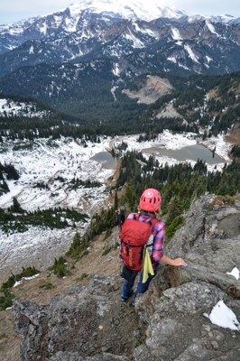
The approach to Naches peak is mostly snow covered at this time. The snow covered grass slopes are very slick and the boot path was concealed making navigation up this peak much more entertaining. The final summit block had patches of snow and ice on it making it a no go at this time.
Made a late season attempt on Naches peak today. I knew it had snowed at Chinook pass but was hoping that after the week of sunshine that we had it would be gone. I was wrong about that. Snow was still present in the parking lot at Chinook pass and on the 80 yards of actual trail we used till we broke off to head for Naches peak. Once off trail we were initially able to follow the boot path towards the peak but we quickly lost it do to the thickening snow. We did manage to find a trail or possible game trails heading in the direction we needed to go but once again they came and went as we moved through the snow. The snow was only around 8 inches deep but was still very powdery. Couple that with the steep grass slopes we needed to go up and traverse and the going was slow and slick.
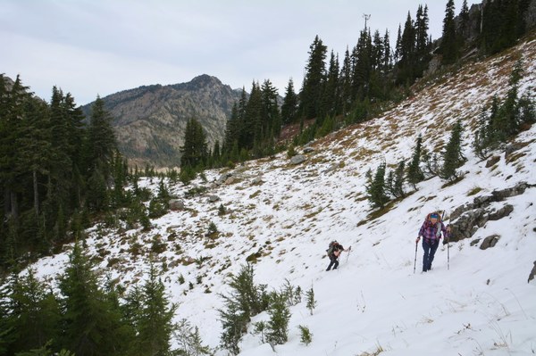
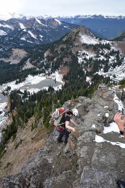
At just over an hour we reached the final rocky summit block. Once again I hoped that with it being rock and the sun shining on it all week it would be a dry rock scramble. Wrong again, patches of snow dotted the final airy rocky approach to the summit.
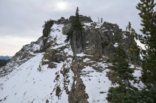
Our group was able to carefully move up the summit block avoiding the snow patches until we reached the "big" down step that we would need to do to attain the actual summit. Much to our dismay there was a small patch of snow with what appeared to be ice glistening through it right where we needed to work at to tackle the down climb. At this point on the summit block you do not have any room to maneuver or work around this section. From this position we had a very excellent view of the actual summit which appeared to be around one hundred feet from us. Upon closer examination of the actual summit we could see that our final approach was completely snow covered and very steep. It was at this point that our group unanimously decided to turn around and come back next summer for this peak.
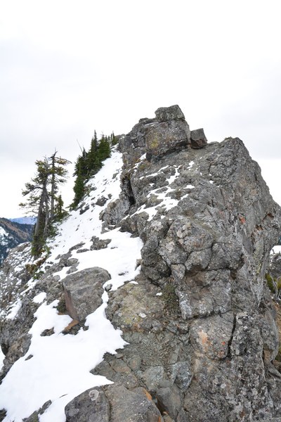
On our way down we attempted to stay on the ridge as long as possible and then descend through the forest. We still had to traverse a couple of open snow covered slopes but our return route seemed much easier than our entry route.
Total time with a detour to find a lost cellphone was 3 hours. Distance was around 1.67 miles according to the gps with an elevation gain of around 1,000 feet.
 Jerrick Linde