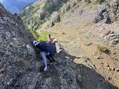
Trip Report
Alpine Scramble - Mount Townsend & Welch Peaks
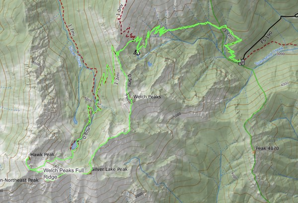
A fortunate weather window on Friday the 13th for this aesthetically pleasing, and moderately strenuous ridge scramble to bag 3 peaks. 12.75 miles, 4,600' gain/loss in 9.5 hours.
- Fri, Sep 13, 2024
- Alpine Scramble - Mount Townsend & Welch Peaks
- Mount Townsend
- Scrambling
- Successful
-

- Road suitable for all vehicles
-
Road to upper Mt Townsend trailhead is in great condition and mostly paved. The first 3 miles of trail are in great shape. The scramble route is pretty easy to follow in most places as it's got a fairly well worn boot path in most places. Late season there is little water to be found. There is a pond at Camp Windy at nearly mile 3, and after that it's Silver Lake, or a stream about 1 miles below Silver Lake.
Our strong, capable group was able to get all three main peaks and back to the trail below Silver Lake before the skies began to cry around 3:30PM.
The trip was originally planned to get Welch Peaks, and Silver Lake Peak with Hawk Peak as a bonus due to the uncertain weather forecast. The forecast had rain coming between 2PM and 8PM with most models showing 4PM to 5PM. We were hiking at 7:50AM and made good time on the 3.2 mile trail up to 5,650', about 2,300' gain.
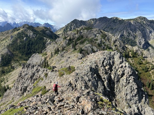
After a short break, we donned helmets and began the off-trail scramble to Welch Peaks around 9:35AM. Hawk Peak is on the right below the gray cloud. Our line traverses the ridges left to right.
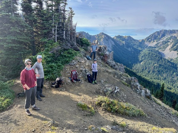
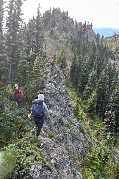
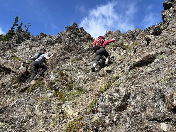
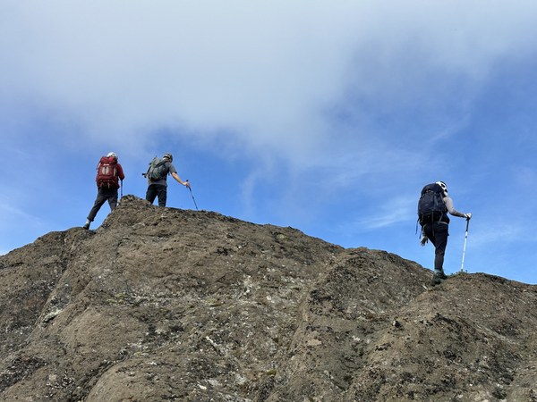
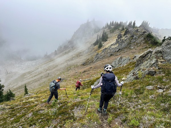
We followed the ridge up to Welch Peaks. A mostly straight forward scramble with some T-3 and a couple T-4 sections. The weather was mostly clear with some clouds covering the low lands of Hood Canal and Puget sound.
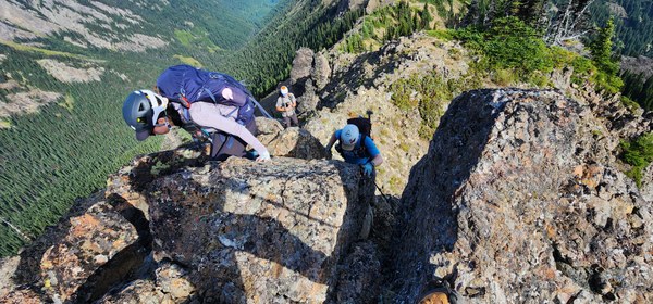
We arrived at the Welch Peaks summit around 10:20 and took another break. Lots of fun scrambling along the way.
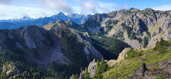
From the Welch Peaks summit is was a fun series of ups and downs along the ridges to Silver Lake Peak. A few sub-peaks along the way.
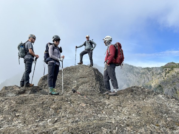
The image below shows the Silver Creek drainage where a trail ends at the Dungeness Road just above Tubal Cain trail.
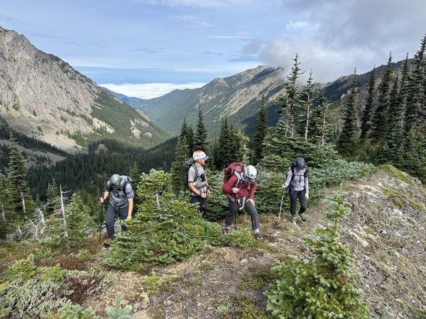
We somehow time it perfectly, arriving at Silver Lake Peak a few minutes after noon where we had a longer break for lunch.
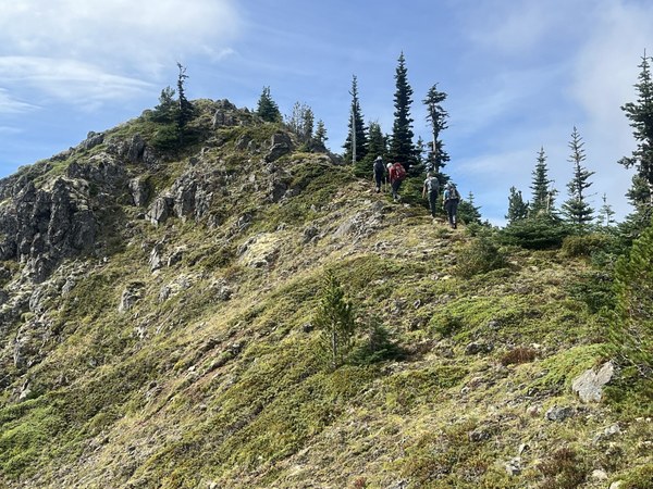
After lunch we proceeded to the saddle above Silver Lake where we assessed the conditions for attempting Hawk Peak. At about 1 mile and 700' gain, it appeared we had time to get up and down with a buffer before the weather might turn.
It was another fun scramble up. Again, pretty obvious path most of the way. We could see Dungeness Spit to the north.
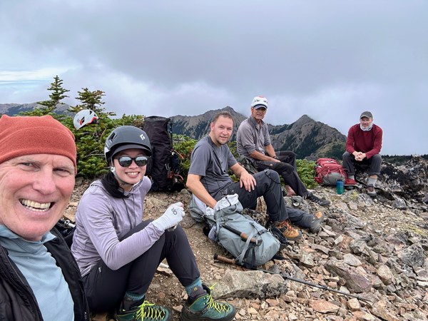
We opted for the scree/talus/boulder basin for the descent to Silver Lake. There was a nice boot path for the upper basin, but pretty slow going in the next two sub-basins. In May of this year I was able to glissade the spring snow nearly the entire way.
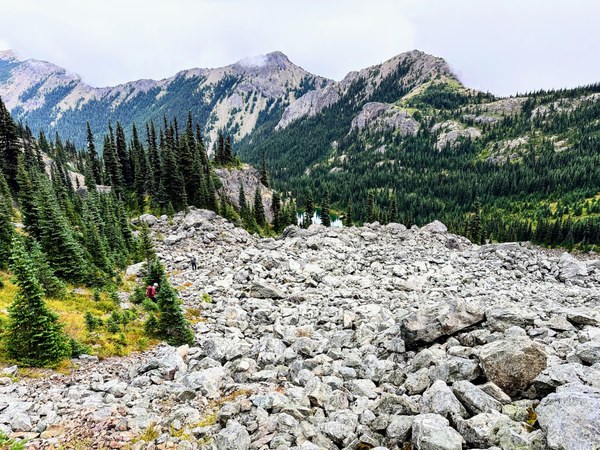
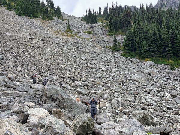
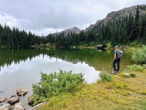
Down at the lake, a couple scramblers filter some additional water and we set off for short downhill trail before the trail climbs a few hundred feet back to the saddle where we first went off trail. We felt our first rain drops about a mile below Silver Lake at 3:20PM. By 4:00PM is was 100% rain and we put on jackets. By that point, everyone was motivated to just finish the day. We arrived back at the trailhead at 5:15PM.
A perfect Day for perfect scramble.
 Ron Jones