Trip Report
Alpine Scramble - Mount Ruth & Steamboat Prow
This is one of my favorite spring scrambles! We enjoyed 10/10 scenery on a perfect bluebird day!
- Sun, Jun 8, 2025
- Alpine Scramble - Mount Ruth & Steamboat Prow
- Mount Ruth (Mount Rainier)
- Scrambling
- Successful
-

- Road suitable for all vehicles
-

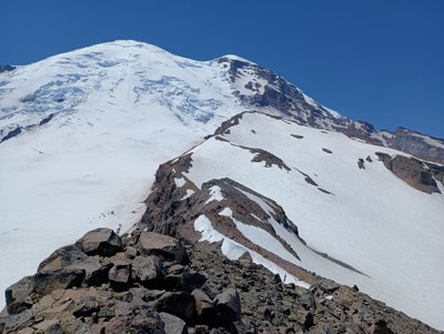
Ascending Ruth

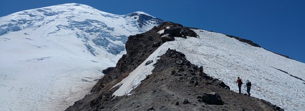
Ascending Steamboat Prow

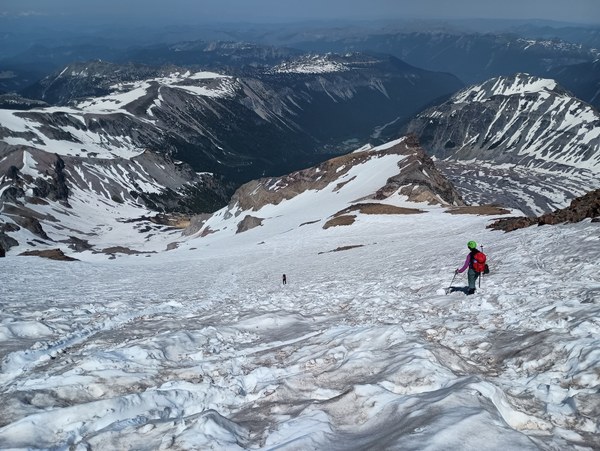
Descending to Glacier Basin from Steamboat Prow
Party size: 5
Date: 06/08/2025 (Sunday)
Meeting time/place: 7 AM White River CG TH to Glacier Basin
Gear Carried: ice axe, helmet, mountaineering boots, poles for stream crossings, footwear/sandals for stream crossing
Gear Use: all of it
Weather: Forecasted freezing levels were 15,000'. Mid-high 80’s F in town. No clouds, barely any wind.
7:20 AM started hiking, snow was covering trail at about 2 miles from TH
We spent about 20 minutes scouting uphill from the normal Inter Fork creek crossing location. We did not we find any suitable crossing locations in this area. We descended to the “normal” crossing location which is shown as a dot.dot.dot trail on Gaia/Caltopo (about the 5920’ contour) and found a reasonable place to ford. It was a few steps in very cold mid-calf deep water, everyone used poles to assist with the crossing.
9:45 AM boots were on and we were headed uphill on snow
12:45-1:15 on the summit of Ruth
From Ruth we walked the rock ridge towards Steamboat Prow. The views were outstanding in all directions. There is a short class 3 rock step getting down. I’d call it T3, not very exposed. We passed a couple of numbered campsites at Camp Curtis. Returned to snow to gain The Wedge and Steamboat Prow.
2:45-3:15 PM on the summit of Steamboat Prow
Two people glissaded and the rest of us plunge stepped almost 3000’ down to the Glacier Basin (moraine) trail on the north side of Inter Fork Creek. The snow was nicely consolidated and a good consistency throughout the day (both up and down).
6:30 PM – back at the parking area
 Carolyn Graham