Trip Report
Alpine Scramble - Mount Larrabee
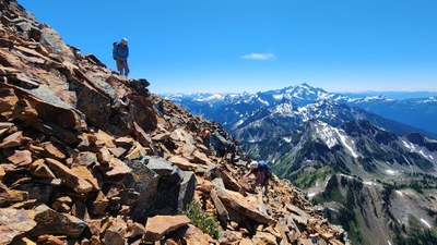
Such stunning views, but the 2 miles of choss (up & down) after leaving the nice trail may not be worth it for many.
- Tue, Jul 23, 2024
- Alpine Scramble - Mount Larrabee
- Mount Larrabee
- Scrambling
- Successful
-

- Road recommended for high clearance only
-
It's a long drive for a short scramble from Seattle, about 3 hrs total due to the very rutted 6.5 miles after leaving Hwy 542 (Mt Baker Hwy). The Twin Lakes TH has quite a few campsites with picnic tables and the restroom was very clean. We were surprised how many cars were here on a Tuesday due to the very rough road.
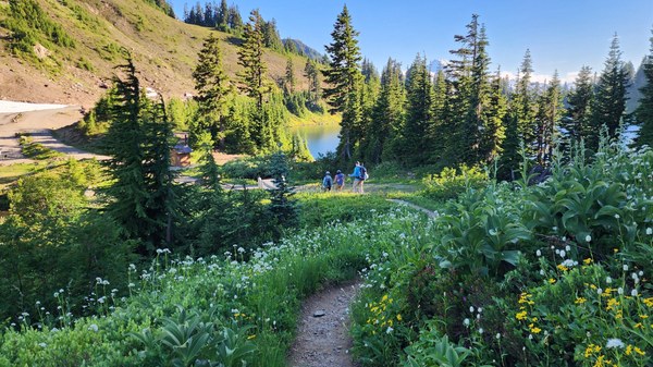
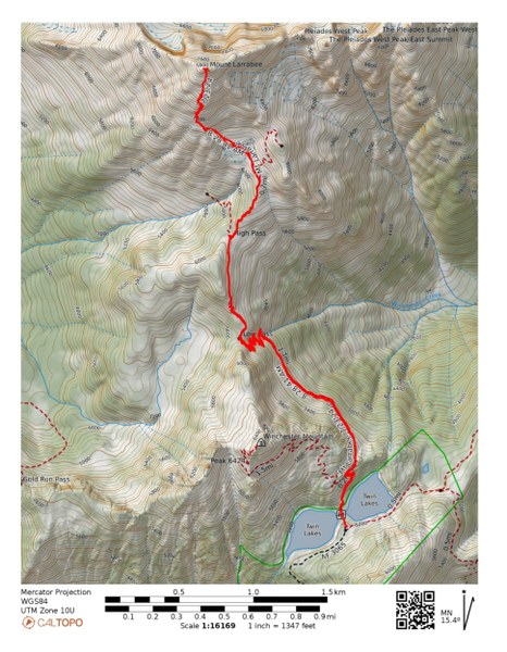
I purposely kept the number of participants small due the nature of the route. Although most of the 6.5 miles is on the well maintained High Pass Trail the 2 off trail miles on the very chossy route needs special care. Everyone needs to be extremely attentive of where they are in relation to the other members in the group.
Soon after leaving the TH, we get our first views of the reddish Mt Larrabee.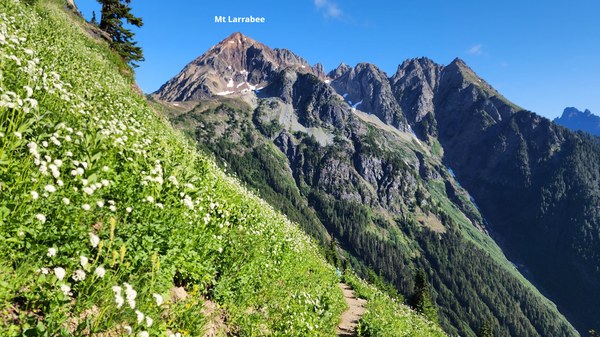
We will leave the High Pass Trail about 1/3 miles past High Pass.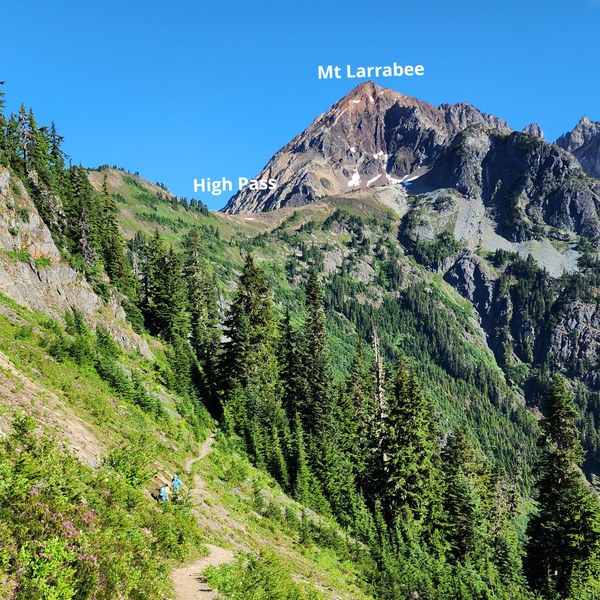
Nearing High Pass and our route. Mountaineer, Chris Pribbernow wrote an excellent report on NWHikers.net that really helped guide us.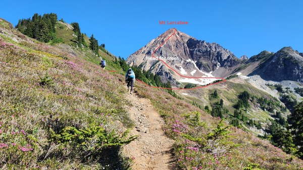
Mt Baker on this perfect crystal clear day. A light breeze and no bugs of any types!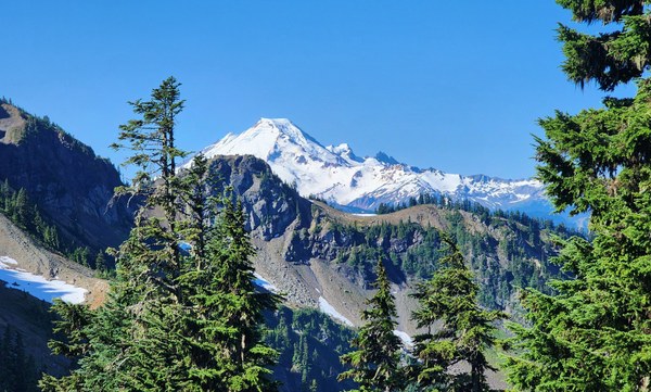
Yellow Aster Butte and Tomyhoi across the way. We pass the trailhead to these 2 peaks about 2 miles before reaching the Twin Lakes trailhead. Doing all these peaks over a weekend is worth the long drive.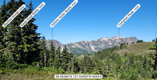
A view from High Pass, looking back from where we came. Adding Winchester Mountain Lookout to this trip would work well too since it starts from the same TH.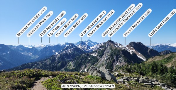
Just about to leave the trail. From there, it's scree, choss and loose floating plates to the summit. 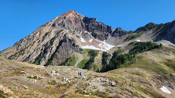
Looking back. Crossing the snow patch was zero problem.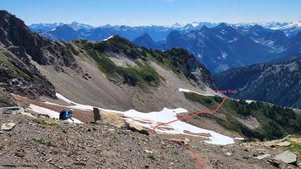
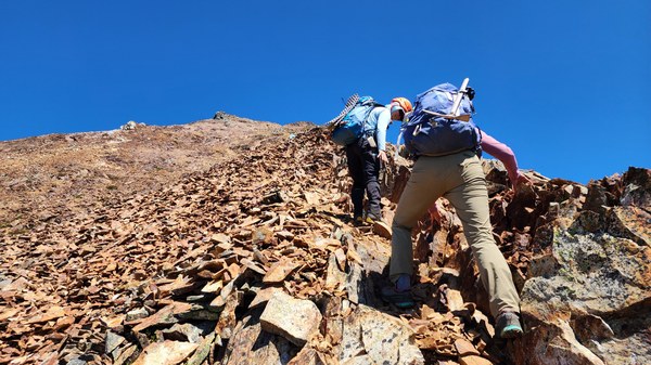
Up the hardpan hill with loose plate sized rocks that slide down. Once on the ridge, a bootpath will lead you to the obvious gully that will take you to the summit.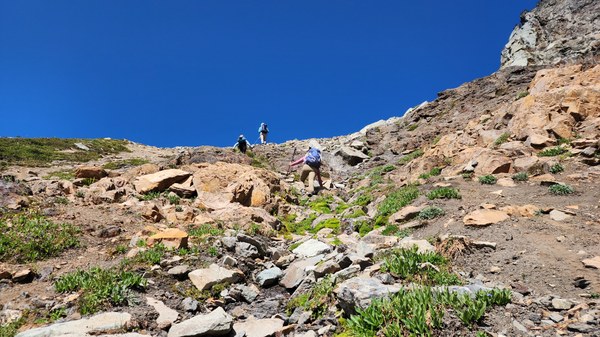
On the ridge and on the bootpath and looking back at our route and Mt Shuksan. From below, you're aiming for this band of trees (per Chris).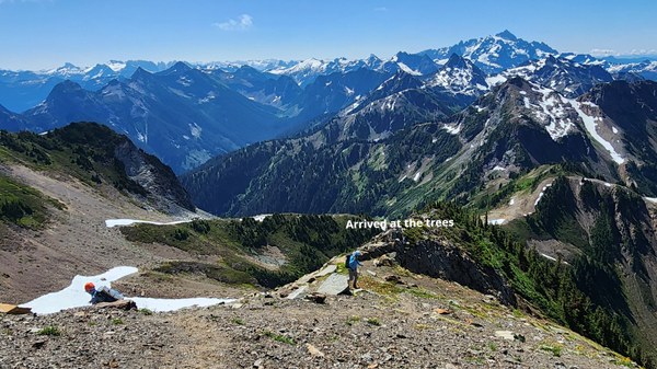 You're on the boothpath for a very short time and then the real scrambling begins. As Chris stated, try to stay on the rib as the most solid rock is there. Do not get drawn into the gully.
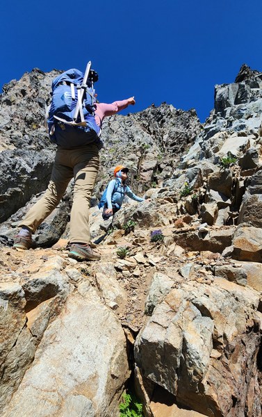
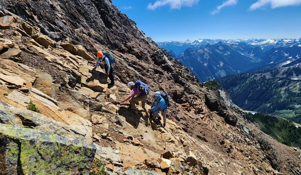
Photos of the route up.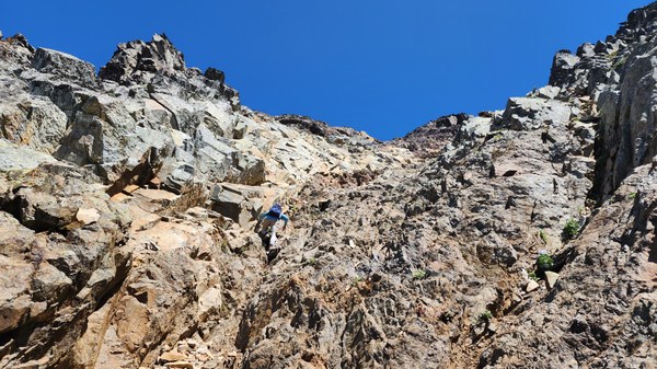
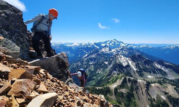
Tomyhoi and Tomyhoi Lake below.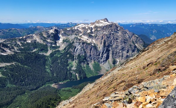 Almost to the summit.
 There are 2 summits right next to each other so we tag both. Looking west.
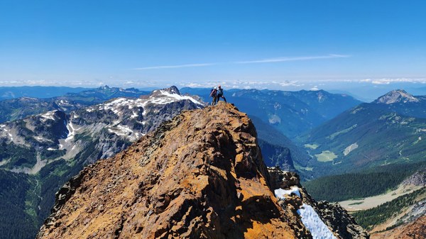
Looking east.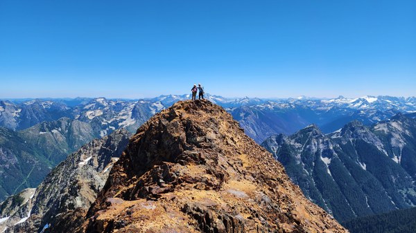
Too many summit views to post, but after a lengthy stop on the eastern summit, we start our descent.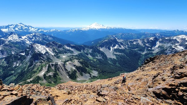
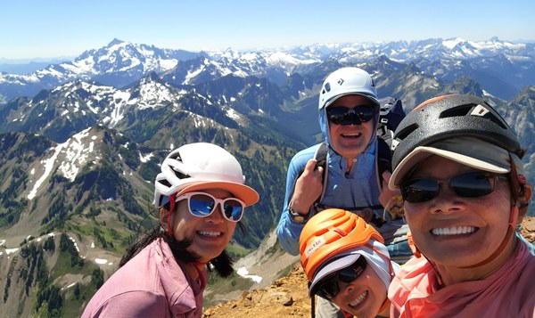
Getting down takes even more time. Looking up and glad to finish the worse part of the route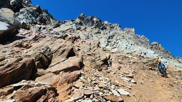 After something like this, it sure feels good to be back on a nice trail. Summit selfie of my wonderful group.
 Susan Shih