Trip Report
Intermediate Alpine Climb - Black Peak/Northeast Ridge
An enjoyable rock climb with great exposure, quite possibly on the last weekend this year before the snow starts to pile up on the route.
- Fri, Sep 24, 2021 — Sat, Sep 25, 2021
- Intermediate Alpine Climb - Black Peak/Northeast Ridge
- Black Peak/Northeast Ridge
- Climbing
- Successful
-

- Road suitable for all vehicles
-
The permanent snow patch before the notch in the ridge was very hard and icy at around 6am in the morning when we were crossing it. We were glad to have boots, crampons, and ice axes.
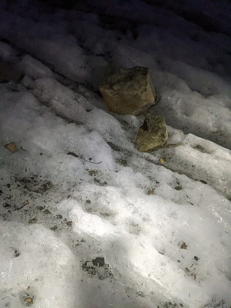
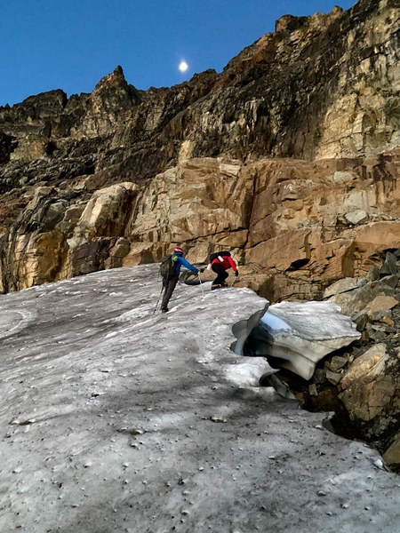
There is a large moat to get off the snow and onto the rock, but there was a snow bridge where we needed it.
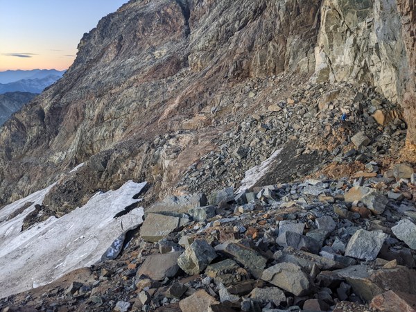
The rock route was dry. Some snow fell above 6000 feet last weekend, but all melted out by now.
No snow on descent, just scree and dirt.
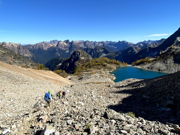
This trip could be done in a day, but we opted for the more enjoyable 2-day version with a camp by the Wing Lake under the peak. The second day was already long as it was, and making it even longer did not seem appealing.
We took half a day off work on Friday to hike in. Left Seattle in early afternoon hours, and arrived at the Rainy Pass trailhead around 4:45pm. The lot was still quite full, with lots of cars parked by the side of the road.
We hit the trail at 5:15pm and made it to the camp in about 3 hours. Most of the hike in was before sunset, and we got to appreciate some nice landscapes and colorful vegetation on the way in.
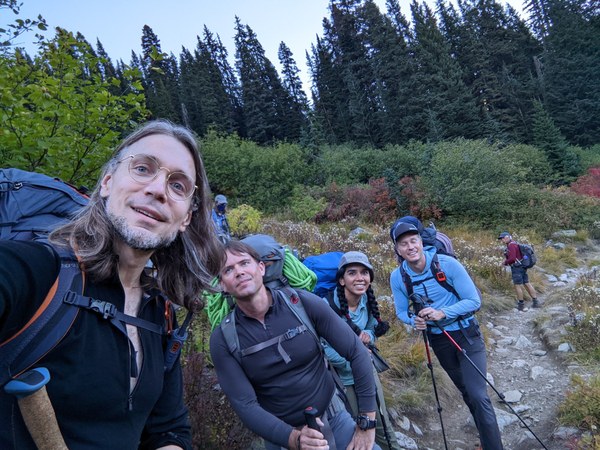
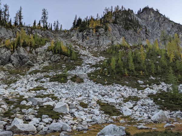
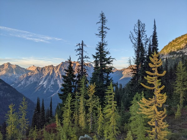
We were aiming to cross the notorious boulder field by the Lewis Lake before dark, and glad that it worked out this way. It would be easy to twist one's ankle doing this in the dark. This will be all but impossible to cross safely once a thin snow dusting covers it.
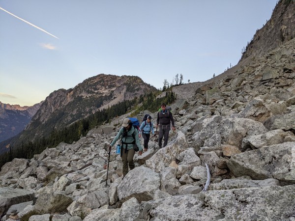
We finished off by headlamps and arrived at the camp by 8:15pm, a bit over an hour past sunset. The first camp spots were taken, but after walking down further, we found plenty of space for our bivies. We setup by a large boulder.
After refilling water bottles, eating dinner, preparing packs for the second day, and agreeing on a 4:30am wakeup time, we went to sleep before 10pm or so. We got a large and very bright full moon that night, sadly all gone by the time we needed it in the morning.
We woke up 4:30am, packed the camp, stashed gear, and left the camp by 5:15am. Switched from approach shoes to boots for this section, expecting hard snow on the way up.
As suggested in the various trip reports, we veered right, tried to stay mostly on the grass, aiming for a notch in the moraine. We could not see the permanent snow patch on approach to the notch, since it was lower angle terrain.
We arrived at the snow patch by around 6am, and found it very hard and icy. We were very glad to have brought crampons and ice axes for this.
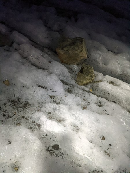
The entire snow patch below. We were aiming for the low angle ramp that is barely visible on the left side of the picture. Not the snow finger.
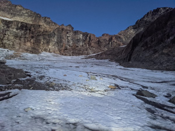
It was still an hour before sunrise and dark when we arrived (the picture above is in night mode, long exposure shot much brighter than it was in reality), but getting brighter by the minute as we were crossing the snow patch. Good timing.
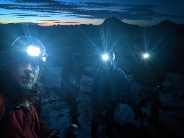
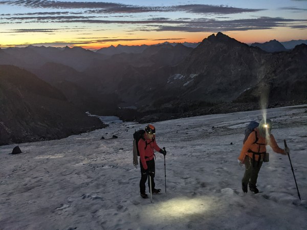
The moon also came out, although its value at this point was more aesthetic than functional.
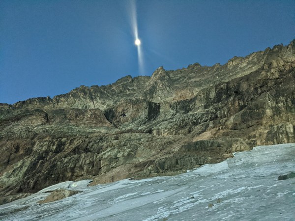
As we were traveling across the snow, we heard water loudly rushing underneath. Tried to stay away from the sound, hoping not to fall in.
Halfway through the snow:
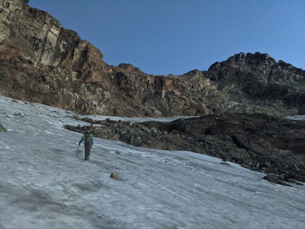
Approaching the base of the ramp (the dashed red line shows the path):
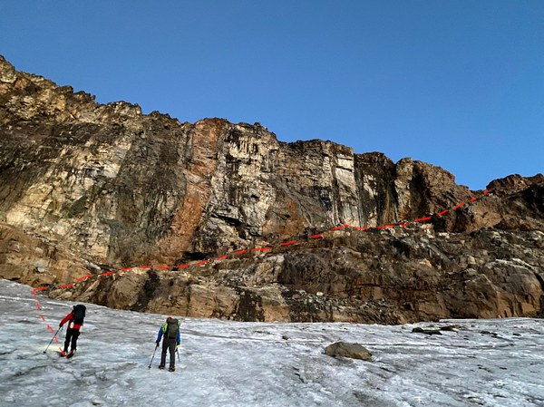
Getting off the snow and onto the rocks required some care not to break through the thin end of the snow patch, and not to fall into the large moat. Fortunately, we found a snow bridge of sorts to down step on exactly where we needed it. We decramponed while crossing to avoid slipping on the boulders on the other side.
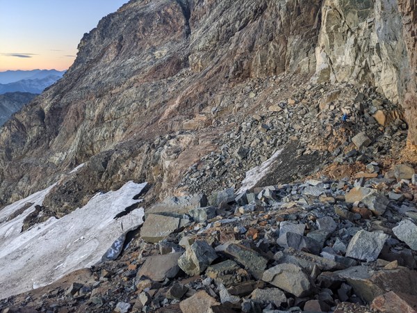
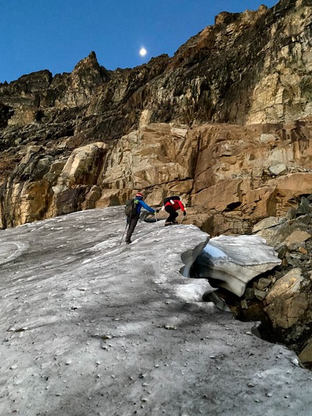
Once on the rock on the other side, we found a large flat platform at the basis of the low-angle ramp that proved to be a perfect place to switch back to approach shoes, put on harnesses and gear, and take drunken selfies to commemorate this important milestone.
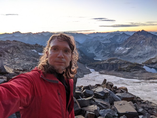
We started moving again up the rock ramp around 7am, right around when the sun came out:
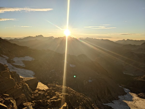
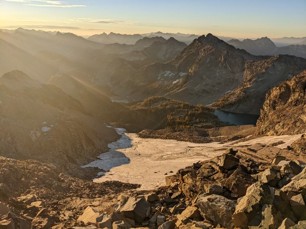
The ramp was a scramble on mostly dry rock, much more straightforward than it looked from the distance. It only took about 15 minutes.
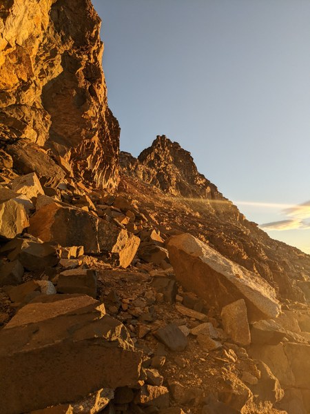
We topped out at the notch in the ridge at 7:15am.
Pradnya topping out:
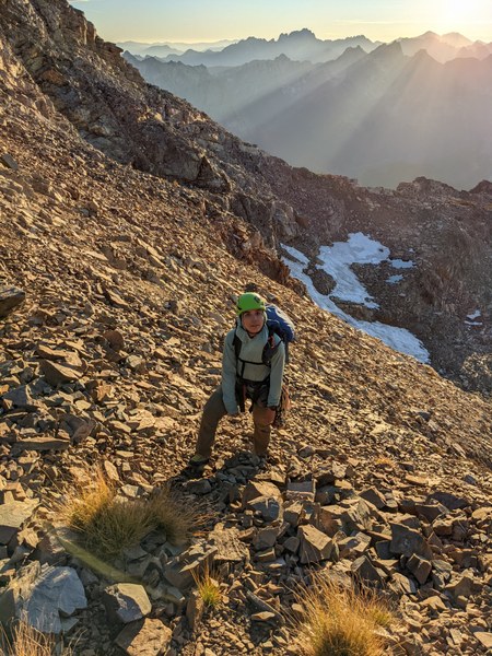
Fine climbers appreciating the views of the northern side:
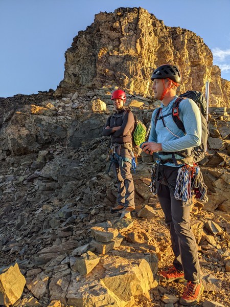
We roped up here and started climbing around 7:30am or so. As expected, the rock was somewhat loose, and placing reliable pro required some effort. Unlike in other trip reports, I opted to place mostly cams, as the rock horns on the route did not inspire confidence (slings would seem to quite easily slide off). Cam placements were perhaps not plentiful, but definitely available, primarily in the smaller sizes from 0.3 to 0.75.
Right off the bat, we ran into a gendarme, which as I now vaguely recall, we climbed up and over. After that, we bypassed a couple gendarmes on the left, but otherwise we climbed up and over the gendarmes the rest of the way, as the terrain on the right was very steep, and the left seemed a bit flat and sketchy. Up and over was low class 5, perhaps 5.3 as advertised. We never found the single section that required crossing to the right onto the northern face.
A picture from a belay somewhere a quarter to a third of the way up the ridge after a traverse on the left by a gendarme:
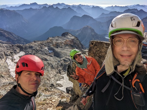
A look back at where we came from this vantage point:
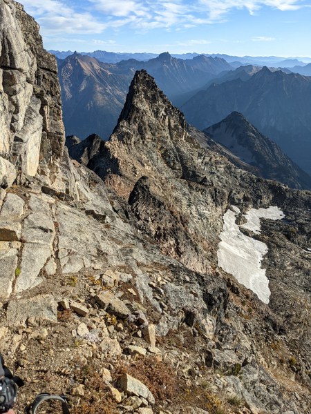
Looking up:
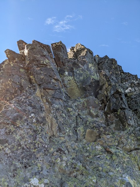
Climbing was not challenging, but very enjoyable, with lots of steep low fifth class climbing over exposed terrain:
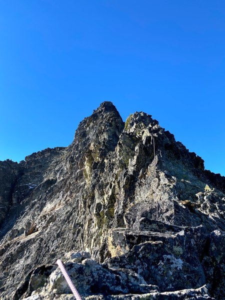
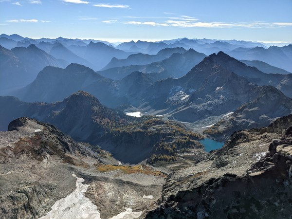
As it was a clear day, we enjoyed pretty badass views all around:
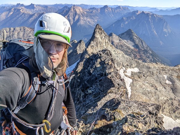
Another commemorative selfie higher on the route:
Just as we were finishing the route, we were bypassed by a large group of solo climbers, who then watched us finish the last stretch of the ridge climb from the summit. Some in our group seemed to be feeling self-conscious about being roped up.
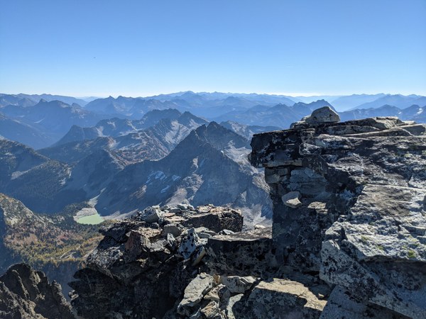
We tagged the summit at 12:15pm, and took a 30-minute break to rest, refuel, and appreciate the views. Probably the very last opportunity this season, seeing as we are looking at several inches of snowfall and temps down to 20F at the summit in the following days. Glad that this weekend has worked out for us.
Summit views:
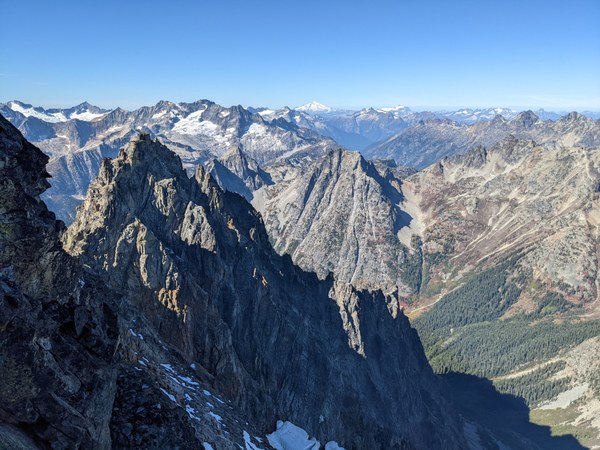
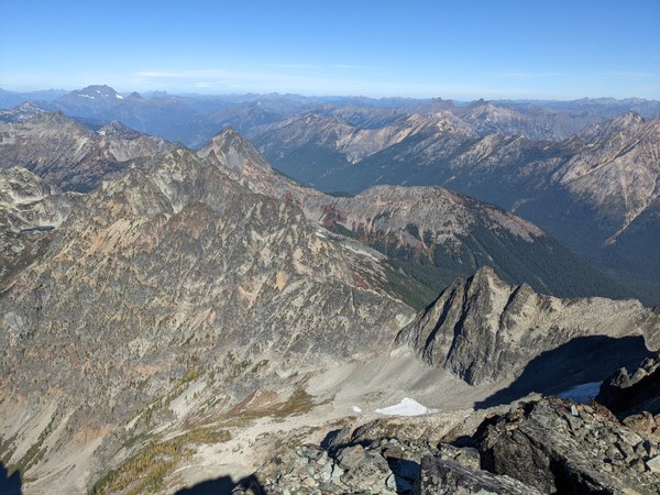
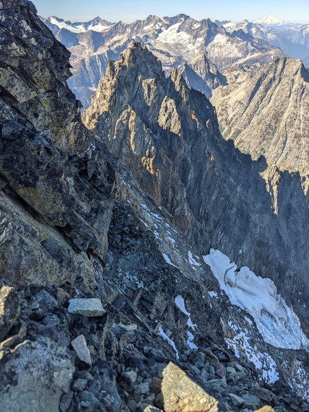
Looking down at a glacier and some snow on the ledges on the shaded northern side:
We started moving down from the summit at around 12:45pm, well ahead of schedule.
The status of the descent route was somewhat unclear. One of the trip reports described getting down from the summit as "the sketchiest part of the climb", and another group got off route on their way down.
As we were looking at an unknown, reportedly sketchy and confusing terrain, I made a somewhat unpopular decision to apply an extra safety margin, remain roped up, and place a few pieces of pro while we simul-downclimb, and to postpone unroping for a bit until we can see for ourselves what the descent route is actually like, and confirm that it is indeed safe to down-scramble it unroped.
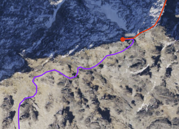
The descent indeed proved to be a moderate scramble, although I can see how without the benefit of past trip reports and GPS tracks, not expecting to look for cairns on the way down, etc., it would be very easy to go down the wrong gulley, or to start going down in the wrong direction to begin with.
Indeed, one report stated that the right way down was to remain on the ridge, which is definitely not the route down we have taken, and does not seem like the easiest way to negotiate the terrain we have seen on this climb. On the picture below, the red line is how we came up, and the violet is the way we and others who were on the summit with us came down.
We reached the dirt and scree gulley and started making our arduous way down shortly after 1pm. Not sure if the most sketchy, but it was definitely the most unpleasant part of the climb, as the terrain was somewhat steep and loose, and we were constantly sliding off our feet. It helped that we had a few days of dry weather leading up to the climb. If it were wet, getting down could be much harder.
Low on the scree field:
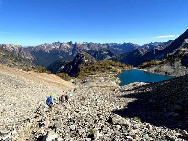
The dirt and scree notwithstanding, we made good time on the way down, and reached the camp by 2:30pm, a good 2 hours ahead of our anticipated timeline, and with a thick safety margin to get down to the parking lot before dark. We took 45 minutes to rest, refuel, refill water bottles, sort all the gear, repack for descent, and summon up the willpower to get up and start moving again.
Views from the camp:
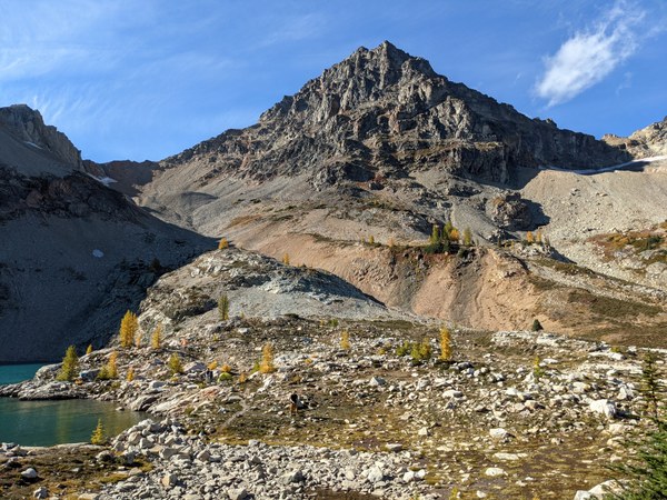
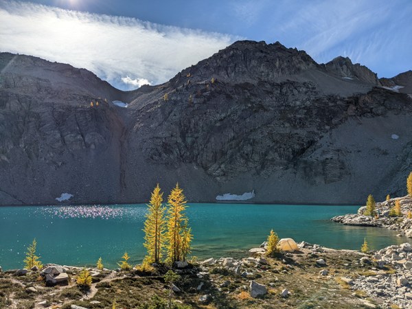
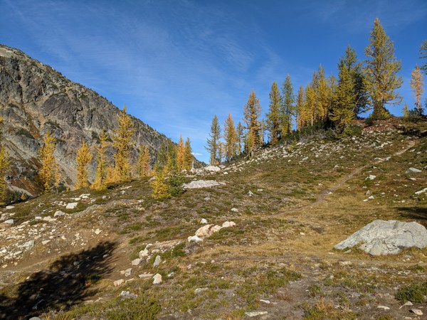
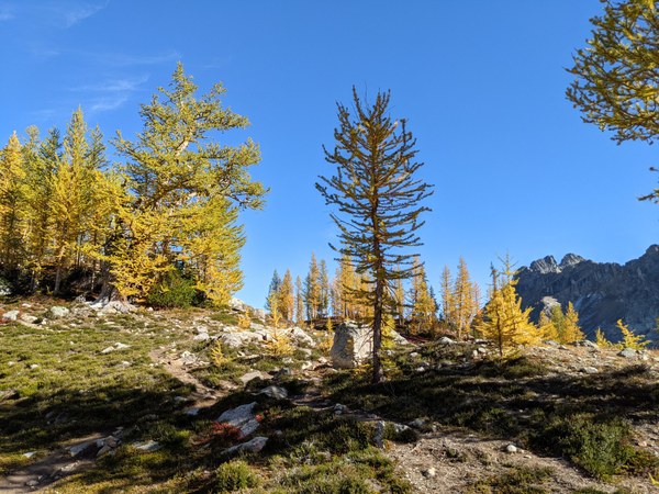
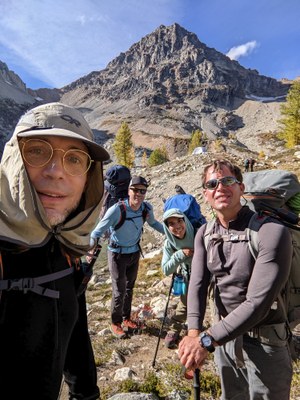
We left the camp at 3:15pm, and took a bunch of commemorative selfies on the way down with assorted peaks. Fortunately, despite fatigue setting in, one of the participants still had the clarity of mind to figure out which peak was the correct one:
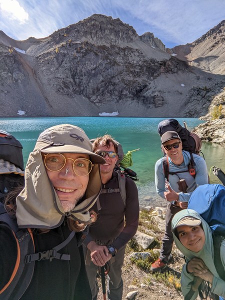
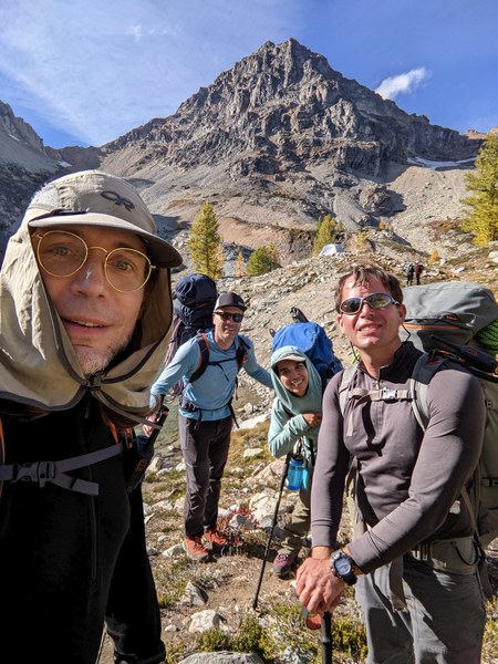
We made it back to the parking lot by around 6:25pm, in just about the same amount of time it took us to get all the way up. We lost most of the time on the boulder field around the Lewis Lake. It was more challenging going up, and we were tired after a long day. Once we hit Maple Pass, though, it was only an hour cruising down at a fast pace down a nice and well-maintained trail down to the lot. At the cars, we rushed to degear, and enjoyed riding back home into the sunset. Made it back home by 9:30pm or so, a couple hours ahead of schedule.
Overall, it was a somewhat long, 13-hour second day, and the entire trip was on a larger side for a rock outing at somewhere in the ballpark of 12 miles and 5,500 feet elevation gain. The climb was fun, though, with significant exposure, but not overly technical or sketchy at any point. Definitely worthwhile. Would do it again.
 Krzysztof Ostrowski