Trip Report
Mt Baker Squak Glacier One Day Ski Mountaineering
One day ski mountaineering climb of Mount Baker up the Squak Glacier route. Starting at the Park Butte / Schreiber's Meadow trail head.
- Sun, Jun 4, 2023
- Sherman Peak/Squak Glacier (Mount Baker)
- Backcountry Skiing & Climbing
- Successful
-

- Road suitable for all vehicles
-
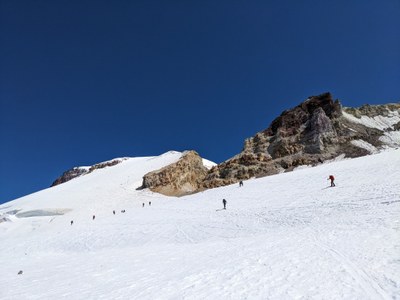
Snow was blocking road 0.7 miles from the trail head and was intermittent in the trees. Good coverage above 4500'. No running water above the camp yet (6700'). Snow in trees melting and soft in the morning, frozen hard in the open and on the glacier. Temps were nice on the ascent, not to hot with occasional cool breezes, and it was still below freezing on the summit when we arrived in the early afternoon. The summit block is melted out and rock is showing. Lots of open crevasses on the mountain, but none open yet right on the Squak route, however there were several on the route that were sagging dramatically (that we skinned around) and will likely open soon. Good conditions on the way up and fun skiing on the way down. I bivied on the road and there were probably 50 other cars there as this was a busy weekend. We took the winter route (more direct through the trees) today and ended up doing some bushwacking and I expect that the normal summer route up the Scott Paul trail will be the way to go in a week or so. Fun day of skiing with a great team!
Skiing. Ascent: snow was intermittent and soft in the trees. We used the winter route (it follows an old overgrown logging road and then up the fall line staying to the west of the ridge crest - the Scott Paul trails traverses the east side of this ridge).
We started skinning at the trail head, then pretty quickly switched to booting at 3650' and carried skis through the trees until we broke out into the open at 4500'. Here we put ski crampons on and skinned from there to the crater rim. The route is direct right now and all of the crevasses crossed were fully filled in but some are starting to sag (skinned around those). We carried skis and used boot crampons to get up the roman wall. The summit and top of roman wall were frozen, air temps below freezing with just a slight breeze.
Descent: Entrance to roman wall was narrow (edge of roman wall ridge is melting out. May have to carry across this area shortly. Once on the roman wall it softened up and skied pretty well, lots of people skiing and easiest skiing was in their tracks. All the way down there was quite a bit of soft snow on top of the glacier and it skied best by pushing hard and skiing fast. Didn't really start to get sticky until about 7000' and wasn't very impactful until 5500' just below the standard camping area. There was a "Luge" track down through the trees to about 4275' and then we bushwhacked down through the forest until we hit the Scott Paul Trail at 3800' and followed it out to the trail head, which was about 40% covered with snow.
Details:
I arrived the night before the climb and bivied at the trail head (actually about 0.8 miles from the trail head as the road was still blocked with snow. There were a large number of cars parked along the side of the road, probably 10 other folks bivied and 50+ additional cars from folks already up on the mountain. The road was crowded and a van got stuck in a snow bank on the side of the road right after I arrived trying to turn around - fortunately the sheriff showed up and helped them out with a winch.
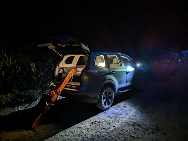
The alarm went off at 3 and I got up had breakfast, put my skins on my skis, and finished the final packing for the day. Kari and Steve arrived at around 3:45 and I gave them some gear to carry while they were finishing their final prep. George and Michael bivied too and walked up a little before 4 and George took a second rope.
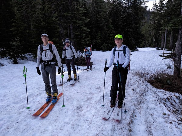
We started about 4:20 with skis on packs and booted the first .8 miles from the cars to the trail head. There was about 2' of slushy snow on the road near the trail head so we switched to skinning. The route follows an old abandoned logging road that is becoming more overgrown every year and the snow cover kept shrinking until there was no snow left to ski on and we switched to booting at 3650'. We booted about 1000' up through the trees and over intermittent snow to a clearing at 4550' where we transitioned back to skis and put on our ski crampons as the snow exposed to the sky was frozen hard. I expect that the normal summer route via the Scott Paul Trail will be the best way to go in a week or so to avoid bushwacking.
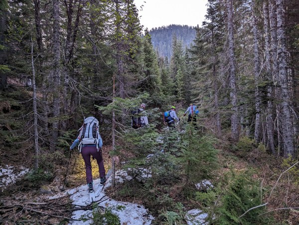
We followed the ridge up to 5700' and decided to drop off of the ridge to the east of the standard route (that continues closer to the ridge before crossing a steep snow field) to avoid a crossing a steep snow field (this would be a good route to take if it was extremely icy but if it isn't to icy, the standard route goes fine).
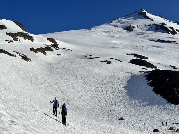
From the top of the rocky ridge the route heads directly north and crosses a number of crevasses as it climbs up the Squak Glacier. Fortunately all of the crevasses that the route crosses were still bridged with snow, but several were sagging dramatically and will likely open soon. Even though bridged, we avoided the crevasses as we passed.
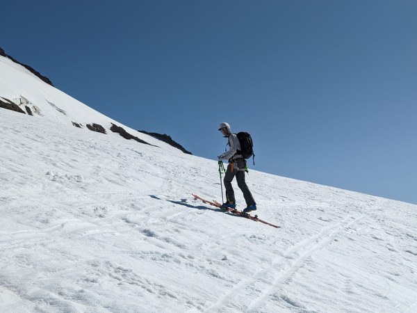
Kept a nice moderate pace taking short breaks to hydrate, nourish, refresh sun protection, and regroup every 1000' once we got above 4550'. The last break we took was at 8400' which is just below the large red rock outcropping where a skier had skied into a crevasse the week before we climbed. The skier wasn't wearing a harness or helmet. Fortunately they were rescued by another team, and the skier was ok.
We took a longer break at the crater rim and the vents were active and when the wind blew from the wrong direction, the sulfur smell was pungent. To climb up the Roman Wall we switched to boot crampons and carried our skis on our packs up to the summit.
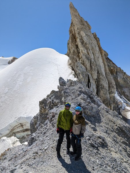
It was cold on the summit (still below freezing) with a slight breezed blowing from the west. Since it was Michael's first summit, we climbed all the way to the true summit (Grant's Peak). It took us about 9 hours to get to the summit and we spent about an hour enjoying the day and waiting for the snow on the Roman Wall to soften up. It was still below freezing on the summit when we left.
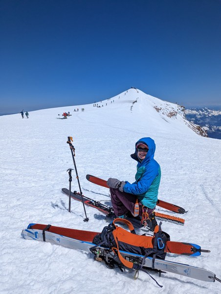
The snow entrance to Roman Wall was narrow (snow is melting out). Folks may have to carry skis across this area shortly. Once on the roman wall it softened up and skied pretty well, lots of people skiing and easiest skiing was in their tracks.
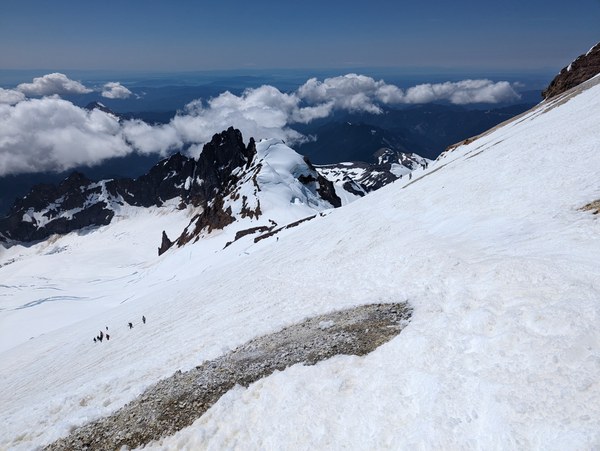
All the way down there was quite a bit of soft snow on top of the glacier and it skied best by pushing hard and skiing fast. It didn't really start to get sticky until about 7000' and wasn't very impactful until 5500' below the standard camping area.
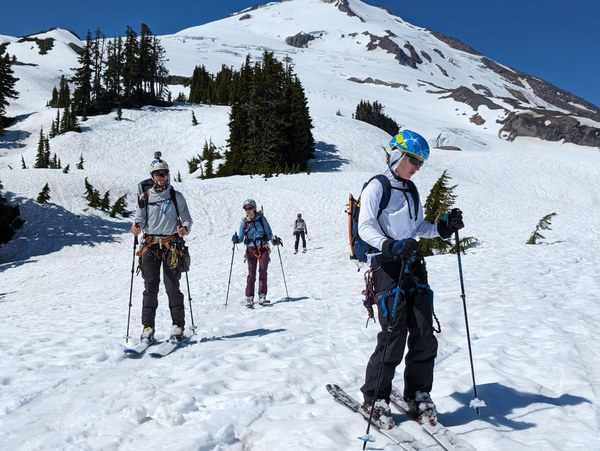
There was a "Luge" track down through the trees to about 4275' and then we bushwhacked down through the forest until we hit the Scott Paul Trail at 3800' and followed it out to the trail head, the trail was about 40% covered with snow.
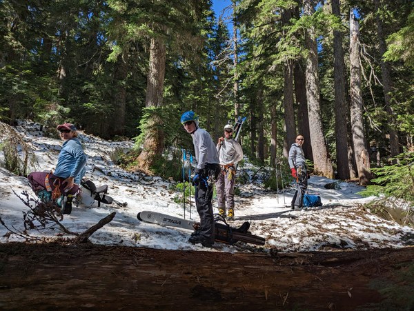
Then we trudged the final 0.7 miles back to the cars, unloaded gear, debriefed, and headed home. It was a fun day with beautiful weather and a great crew.
Stats for the day
- 12:41 total time car to car (8:08 moving time)
- 8:45 total time car to summit
- 15.2 miles
- 7900' elevation gain/loss
Transitions (6)
- Booting: Started carrying skis
- Skiing: Skis on at trail head
- Booting: Skis on packs at 3650' intermittent snow in the trees
- Skiing: Skis and ski crampons on at 4500' when we exited trees to open slopes
- Booting: Skis on packs and boot crampons on at crater rim to boot up Roman Wall
- Skiing: Start descent from summit on skis
- Booting: Skis on packs and booting through intermittent snow in trees and then on to the trail
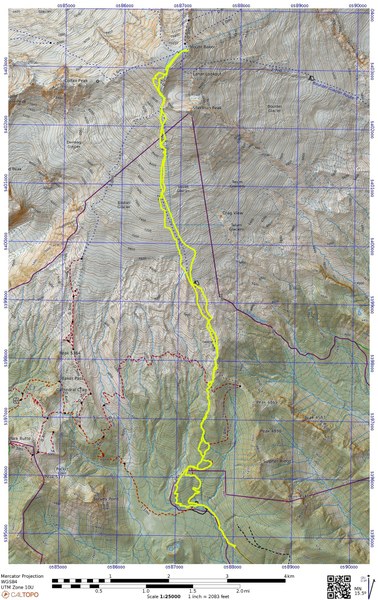
 Barton Place