Trip Report
Alpine Scramble - West Granite
a beautiful day, against all odds
- Sun, Nov 5, 2023
- Alpine Scramble - West Granite
- West Granite
- Scrambling
- Successful
-

- Road suitable for all vehicles
-
No snow on the route, and no humans until crossing over to the main Granite peak.
This trip started with a firm desire to not succumb to the notion that November is a month taken out of the scrambling and climbing calendar, and to find a way to scramble something this Sunday if it could be done safely, and without venturing too deep into the type 2+ fun territory. The choice of a route was a means to an end, and as such, it was secondary. When I posted the route some 8 days ago, the outlook for this weekend was looking quite gloomy with rain all over the PNW, but I saw a ray of hope in the Mt Rainier area, and settled on Mt Ararat as my initial bet. The scramble filled in quickly, and before long, I had a team of 8 and several on the waitlist.
By Monday, things took a turn for the worse, as evidenced from the weather data below. I sent out a long email to set the expectations and warn of a possible change of location. Amazingly, the roster didn't immediately melt down at that time just yet, nor did it throughout much of the week as I was sending not particularly optimistic updates of the evolving conditions.
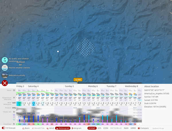
By mid-week, higher-resolution and much more reliable forecast data started to trickle in, and at that time, it became evident that the Mt Rainier area isn't the ideal choice for the weekend. The second system with the rain to hit on Sunday would be moving from the Southwest, and the area around Rainier would be getting pounded sooner than areas further to the Northeast. The ECMWF forecast that I find more reliable, and the local UW data, suggested the I-90 corridor to likely be a much better choice, both due to the rain patterns, and the time of their arrival, and to promixity that would enable us to hit the trail and tag the summit sooner without getting up too early. The Esmeralda Peaks were my second option, but rolling the dice on a longer drive was also not ideal.
By Friday, as even higher-resolution data had become available, the forecast started to really get crisp, and I made the decision to switch to West Granite. In addition to being in the right location forecast-wise, it would also be easy to bail in case we get caught by rain, while at the same time, offering several options to make it more interesting if the conditions turned out to be favorable. At that time, we still had an almost full roster.
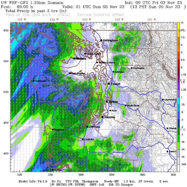
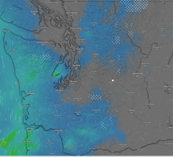
As the weekend went on, things started to clear up quite rapidly, and soon, we were looking at a basically dry point forecast for West Granite and much of the surrounding area for the entire day, which looked extremely promising.
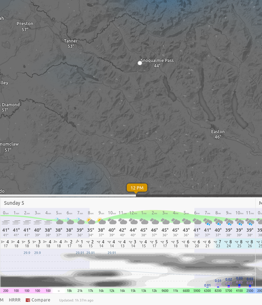
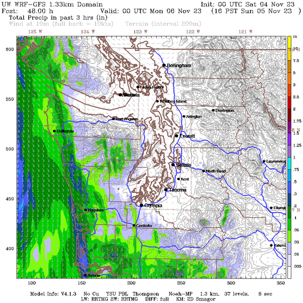
Sadly, while the weather had been improving, the roster had been melting away, and by Sunday morning, I had only 2 participants left, and 15 cancellations. Something of a personal all-time record, I think.
While the forecast continued to fluctuate somewhat, the initial premise of it being a dry day for the area indeed held up, and we even scored partially clear skies and sun for our time traversing between the summits. Not only did the forecast hold, the day as it unfolded far exceeded all my expectations.
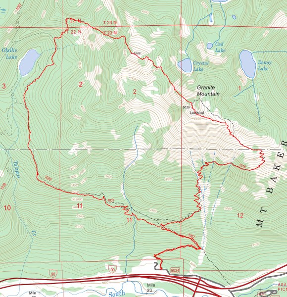
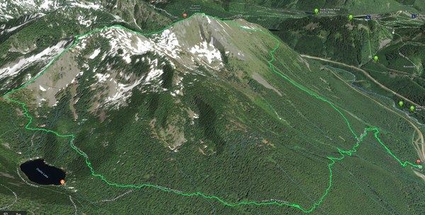
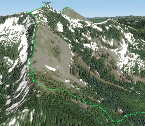
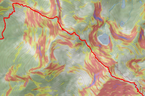
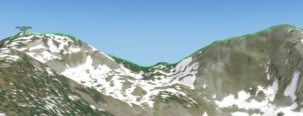
The route we've done is a clockwise loop that goes along the Pratt Lake trail to a point Northeast of the Olalie Lake, bushwhacks from there to the base of the West ridge of Tusk O'Granite (West Granite), crosses along the ridge between the peaks to the main Granite peak, takes the scramble variant off the main peak that runs South of the trail, then rejoins the trail further down, and walks out by the trail back to the cars, as shown below.
In total, we've accumulated about 4300 feet elevation gain and a little under 10 miles of distance.
We met at 8am at the Granite Mountain Trailhead. The lot was partially filled, but mostly empty. We moved out swiftly and cleared the first 1500 feet in an hour before stopping for breakfast. The group was strong and experienced.
The trail was pretty pleasant, and even though it was a bit damp and chilly, everyone was in good spirits.
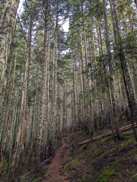
Soon after we hit the point where we would start the scramble proper, with the bushwhack first.
Most of the bushwhack wasn't too overgrown and the terrain was not very steep, so it was much easier to negotiate than the Silver Peak scramble I led just this past weekend.
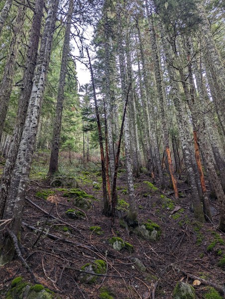
At some point mid-way through we found a boulder field, but opted to stay in the bushwhack as it was easier to travel through compared to the still slightly wet boulders in the morning.
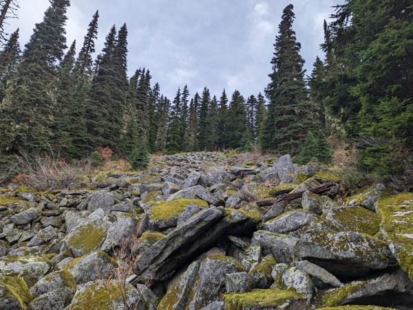
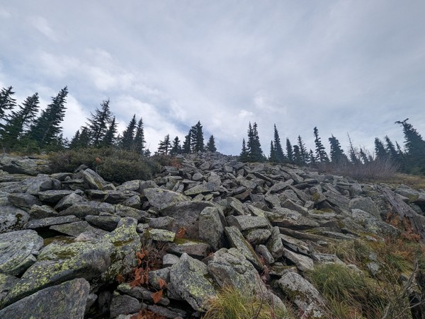
As we went higher, it started to clear out nicely, and the rock was also drier there:
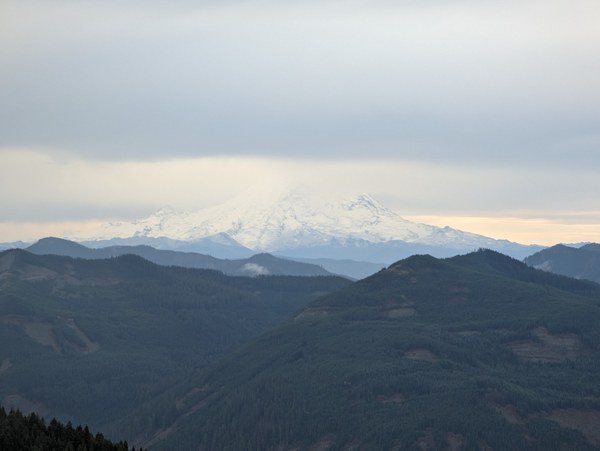
Getting higher and higher, now with views of Rainier through the clouds, and nice dramatic sky around, having a good time:
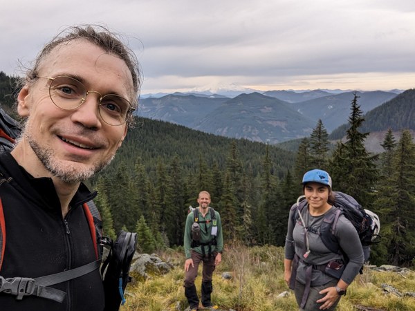
First glimpse of the ridge that ascends the West Granite (Tusk O'Granite) from the West.
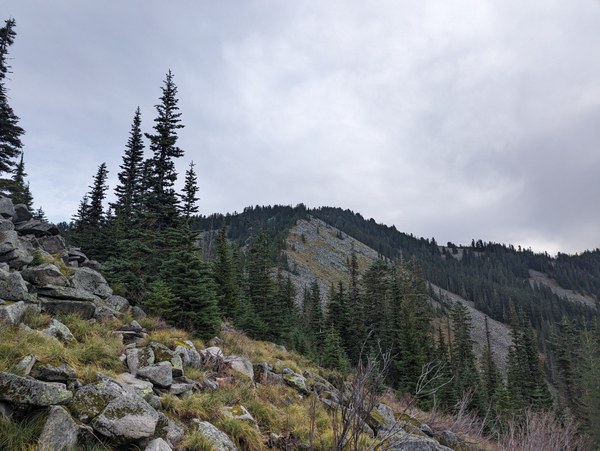
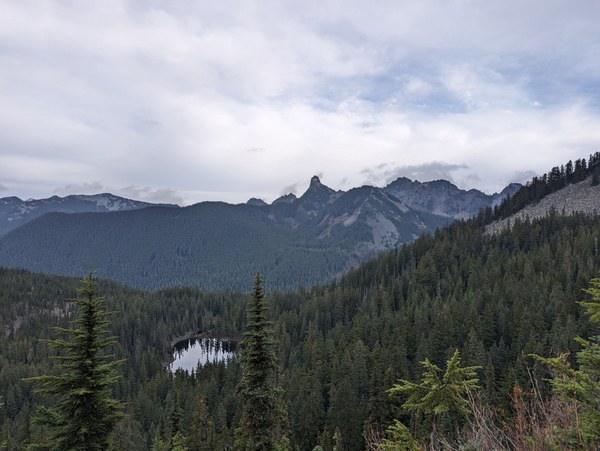
And now finally also a view North of the ridge. This is Kaleetan Peak:
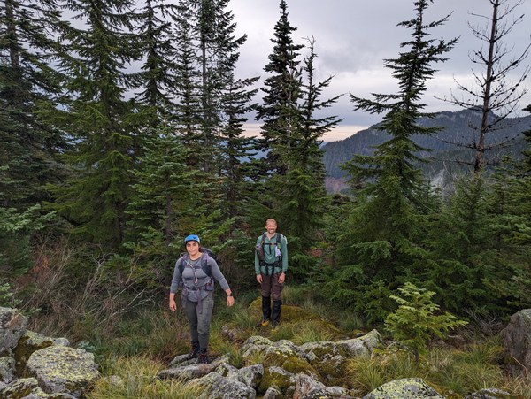
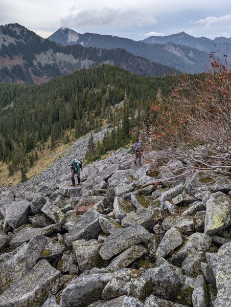
The ridge walk varied between boulder hopping and light bushwhack:
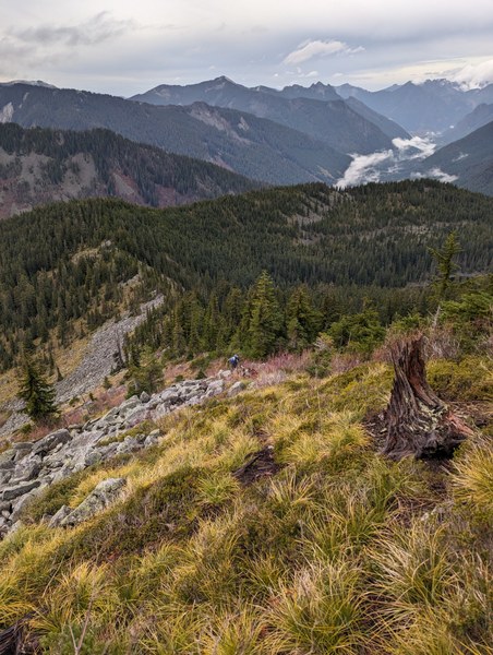
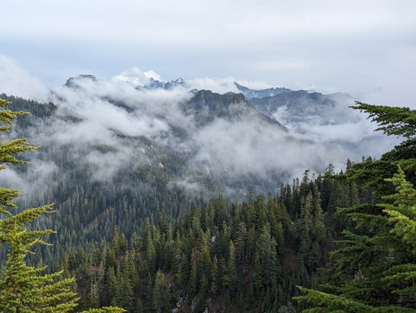
The surrounding peaks wrapped with clouds looked amazing:

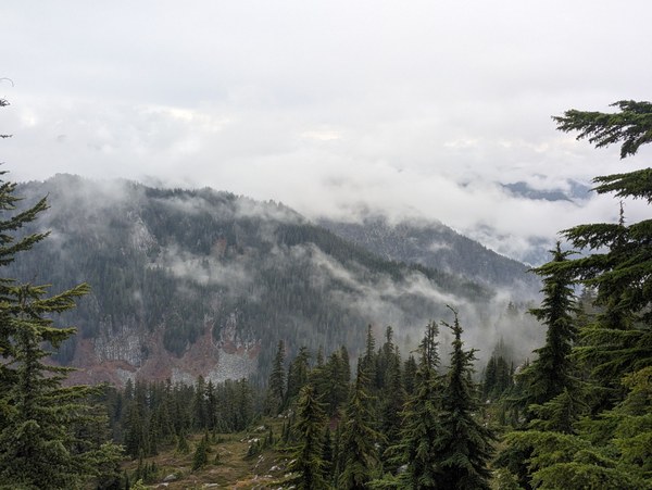
This was a surprisingly fun route, much nicer than the standard Granite walkup on the trail. We were having fun:
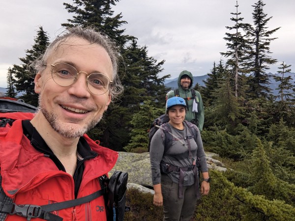
Last 50 feet to the summit of West Granite:
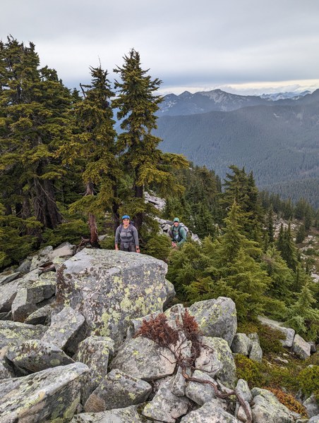
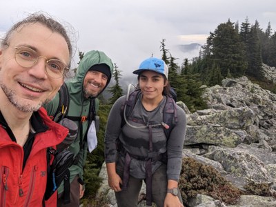
Mandatory family photo on the summit:
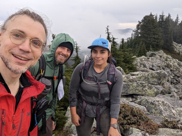
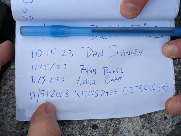
We found a summit register on this one (but could never find one on the main peak):
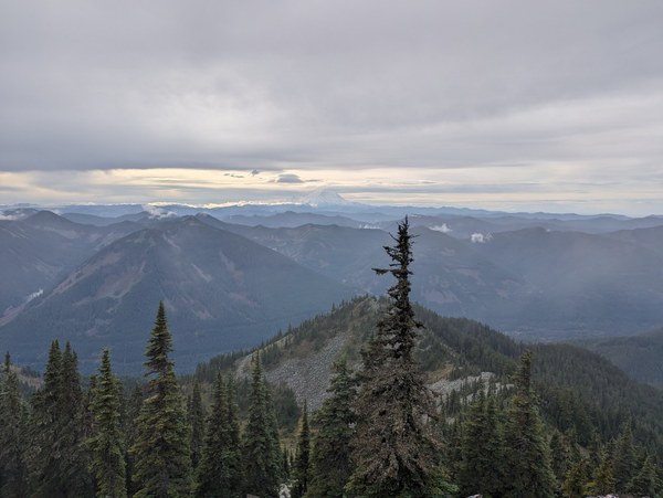
The views by now got even better:
Traverse still wrapped in a cloud:
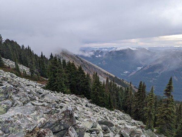
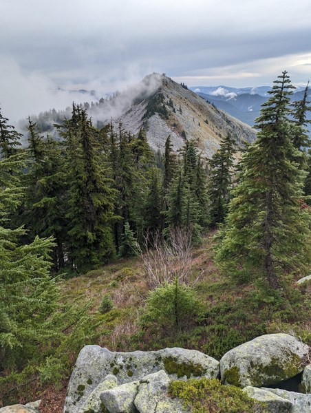
The traverse would involve losing a bit of elevation and then regaining it, on a terrain that would be somewhat similar to that earlier on the ridge.
As we proceeded down the traverse, the clouds started to dissipate:
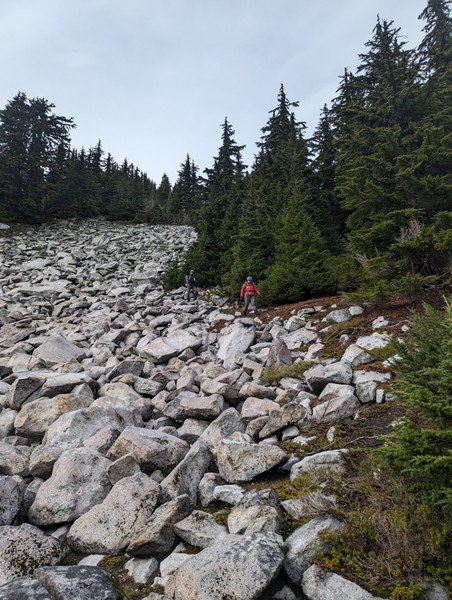
Some of it went down the bushwhack or grassy slopes, some down the boulders. On occasion, we'd see a path, but not very consistently.
Making our way back up, now with the sun shining through the clouds - amazing!
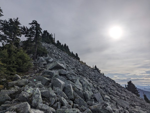
Dramatic views of peaks wrapped in clouds all around:
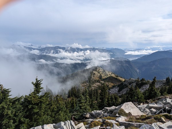
Finally, we topped out at the main peak, near the geological sign (West of the lookout), by a pond of holy water.
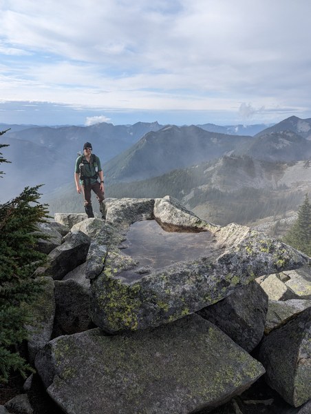
The clouds almost completely dissolved by then, and we got stunningly clear and sunny views of the lookout and all the surrounding landscapes:
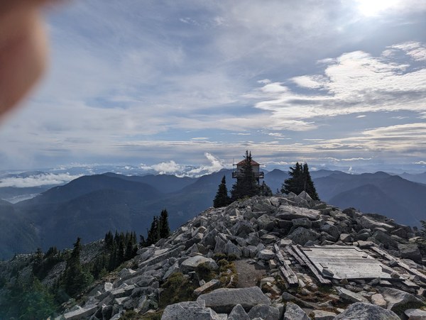
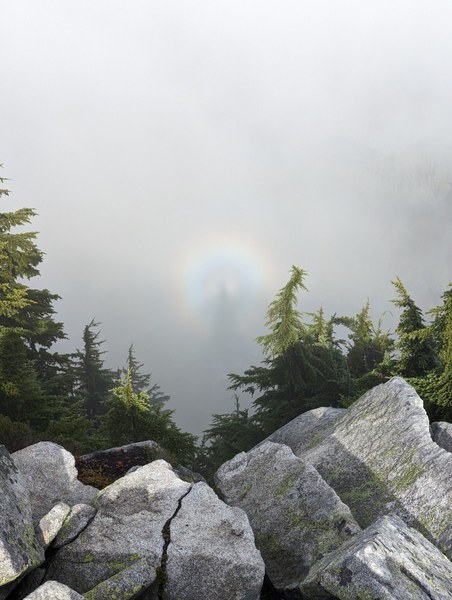
We saw our shadows in the rainbow, clearly a lucky sign:
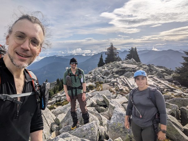
Time for another family picture at the main peak:
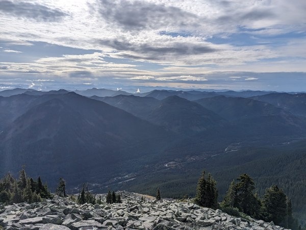
Dramatic sky to the South over the highway:
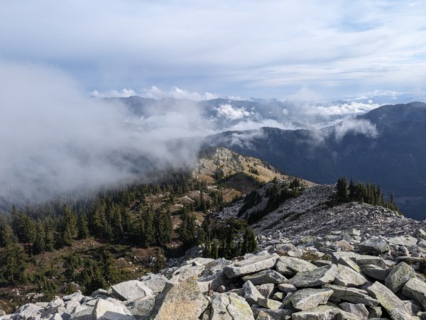
More cloud-engulfed peaks on the other side:
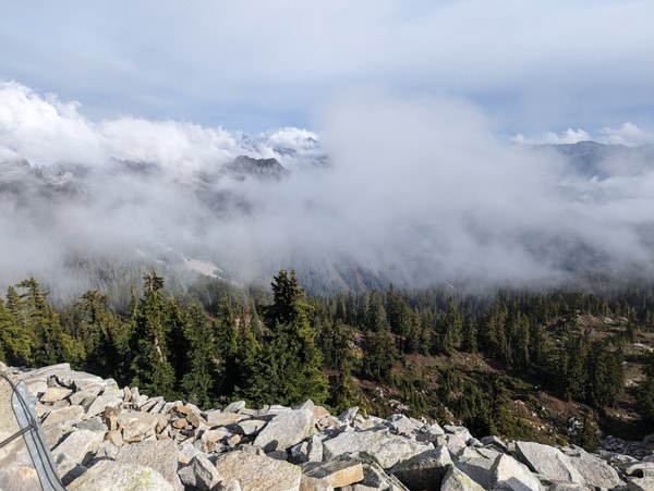
While at the lookout, we met the same gentleman we had encountered earlier who missed the turn to the main trail and needed instructions to find it, and who seemed impressed by us having the confidence to scramble off trail. As it turns out, he had been lurking at The Mountaineers site, but was a bit shy to join. We reassured him and his companion that it's never too late.
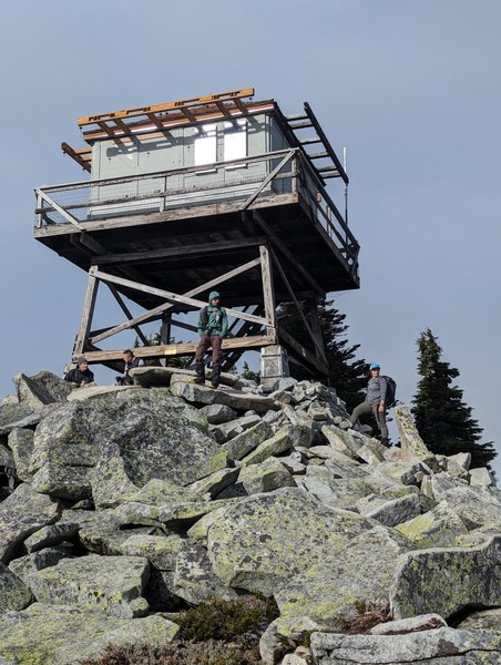
It only felt appropriate to treat the lookout as another peak of sorts worth commemorating, so a mandatory family photo was in order. With jackets on, since there was a bit of wind and it's been chilly at the top:
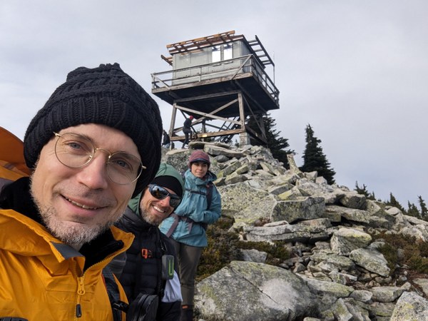
A look back at the steep Southern slopes on the way down, and the sky more clear and blue than in my wildest dreams for what was going to be an ugly November weekend:
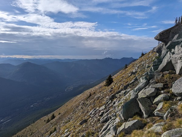
Somewhere midway through the alternative scrambly route on the way down from the lookout:

Looking left at the trail we replaced with the scrambly variant:
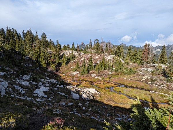
Last look back at Granite on the way down:
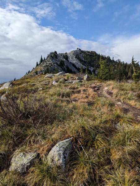
Back at the cars, without having experienced a drop of rain the whole day:
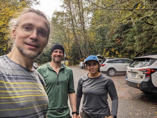
What started a week ago as an almost lost cause with very little reason for hope ended up being a fantastic day on a great route, with solid weather and a strong group. Thank you, Ryan and Anisa, for not giving up, for and making this amazing day possible. Definitely 5 stars in my book! Would do it again :)
 Krzysztof Ostrowski