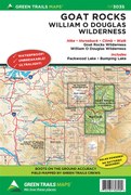
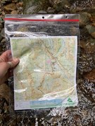
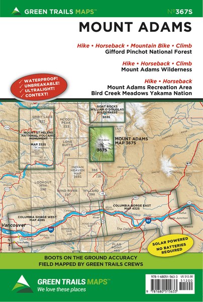
Mount Adams, WA No. 367S
Description
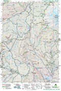
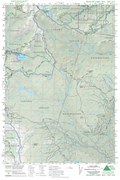
Washington’s second highest peak offers as much rugged alpine beauty and stunning trails as its more popular volcanic counterparts, Mounts Rainier and Hood. This (Scale 1:69500) map covers nearly all of the Mount Adams Wilderness as well as the Yakama Nation Mount Adams Recreation Area. Map is integral for anyone planning to summit the 12,276-foot glacier shrouded behemoth. The map also highlights the Pacific Crest Trail from FR 23 to Muddy Fork Creek. Exceptional day hikes and extended trips showcased on this map include; Bird Creek Meadows, the Round-the-Mountain Trail, Adams Creek Meadows, and Devils Garden. Map includes popular equestrian trails near Gotchen Creek, Morrison Creek, and Snipes Mountain. Horseshoe Lake, Chain of Lakes, and Takhlakh Lake’s trail systems are also shown on this map.
Original Edition 2016, Current Edition 2021
Map Scale 1:69,500
CLICK HERE to search all maps via Green Trails interactive map feature.
Original Edition 2016, Current Edition 2021
Map Scale 1:69,500
CLICK HERE to search all maps via Green Trails interactive map feature.
