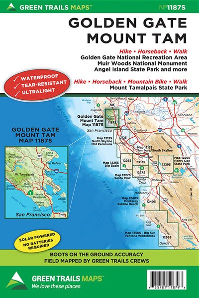
Golden Gate * Mount Tam, CA No. 1187S
Green Trails Maps

Description
Original Edition 2013; Updated Edition 2015
Green Trails Maps show the most current trail, road, and access information to national forests, national parks, state and local parks and other public lands.
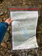
Home to over 400 miles of the best hiking, mountain biking, and equestrian trails in the San Francisco Bay Area. Trek or bike the Marin Headlands with stunning views of the Golden Gate Bridge and its wild Pacific Coastline, or venture further inland and mountain bike up to the top of Mount Tamalpais for panoramic views of the entire bay then descend into the Marin Municipal Watershed for endless loop trail options. Printed on a waterproof tear-resistant sheet and 100% ground truthed by our GPS Teams. Get ready for endless adventures.
Map Scale: 1:24,000
CLICK HERE to search all maps via Green Trails interactive map feature.


