Trip Report
The Brothers/South Couloir
The Brothers are better with snow!
- Sat, May 24, 2025
- The Brothers/South Couloir
- Climbing
- Successful
-

- Road suitable for all vehicles
-
- The route is a little tricky to follow in the Valley of the Silent Men and through the burn. Be sure to have a recent (successful) track downloaded. There is good pink flagging, but it's easy to miss, especially on the way up. Easy to find on the way down.
- When we went the snow was firm/hard in the morning and without a bootpack. It seems like we were the first ones up recently. There should be a good bootpack up there now.
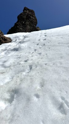
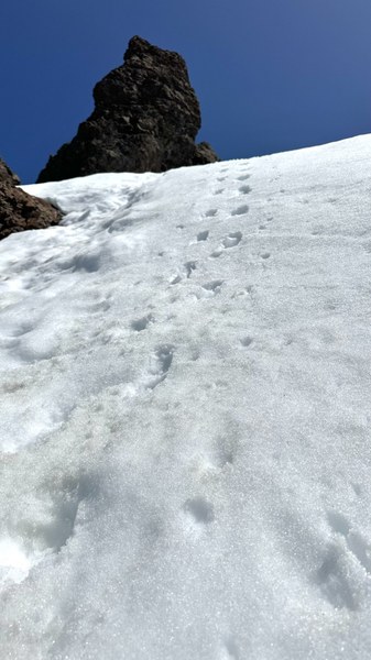
- The gullies get confusing toward the end. Consult your GPS to ensure that you're headed up the right one, instead of going up one of the steeper ones only to backtrack as we did. The correct one we went up was the second from climber's right. It steepens toward the rock, and it had maybe one or two class 3 moves on it.
- We did this as car to car, but it would have been more enjoyable as an overnight. It might be unconventional, but if I do it again I would drop my pack off at Lena Lake and climb the same day, then spend the night at Lena Lake before walking out in the morning.
Car to car climb of The Brothers. We cruised up to Lena Lake in around an hour. The trail grade is very mellow, but please do not cut the switchbacks. From Lena Lake there is the notorious log crossing. I am not ashamed to say that I butt-scooted it from there (I walked on the way out as you're walking up it, not down it).
The next three or so miles is in the Valley of the Silent Men. This might be my favorite stretch of forest ever. Just stunning. However, it's easy to lose the flagging and your track and end up in a patch of devil's club as we often did. Not a plant you want to become better acquainted with!
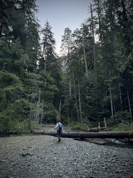
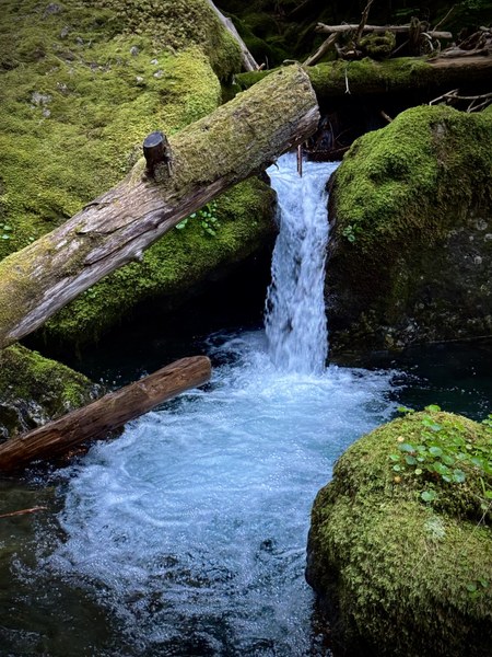
The climber's camp before the burn looked like a great place to spend the night. There's a faint climber's trail that moseys out of there and into the burn. As other TRs have mentioned, it's easy to lose the faint trail into the burn, especially when there's still snow patches. We did not encounter consistent snow until around 4,200'.
Out of the burn and onto the snow the views opened up with Washington, Ellinor, the Hood Canal, Rainier, Adams, and St Helens all making appearances.
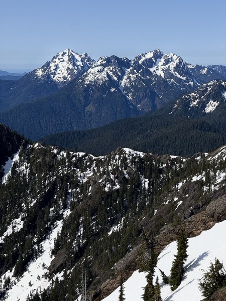
We didn't have the benefit of an established boot pack up to the summit, which was unfortunate, but hopefully folks that have followed us enjoyed the one we set :) The snow does steepen in the last 1,000', and with the very firm conditions it was nice to have two axes.
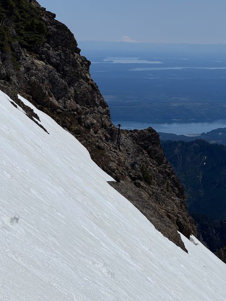
We chose the wrong gulley initially and knew it was because the scramble to the summit would have been class 4. We backtracked and then found the right gulley. You can see our tracks going up to it in the photo below.
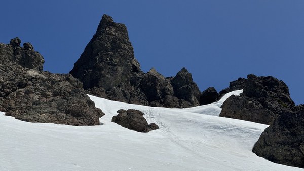
Once we made it up to the rock, there was maybe one or two class 3 moves before easy scrambling up to the summit.
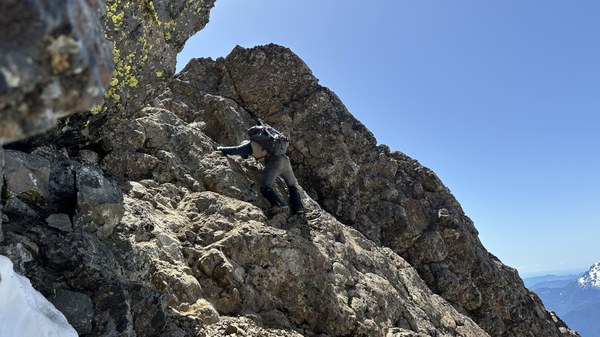
Views from the summit are excellent. The Olympics surround you for the 270 degrees and then you have the Puget Sound and Washington's 5 volcanos for the remainder of your views.
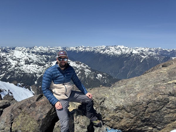
The downclimb was a bit tedious until the snow softened up. From there it was cruising until the burn.
We stopped and filtered water at the climber's camp and then cruised the rest of the way back to the trailhead. Flagging was much more obvious on the way out. Overall, it's a stunning climb with a lot of diversity in skills required and sights seen. It was a long day, but the two double cheeseburgers and fries at Ilk Lodge in Olympia felt like the best way to cap it off.
 Martin Fisher