Trip Report
Sea Kayak - Hat Island
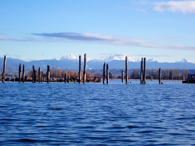
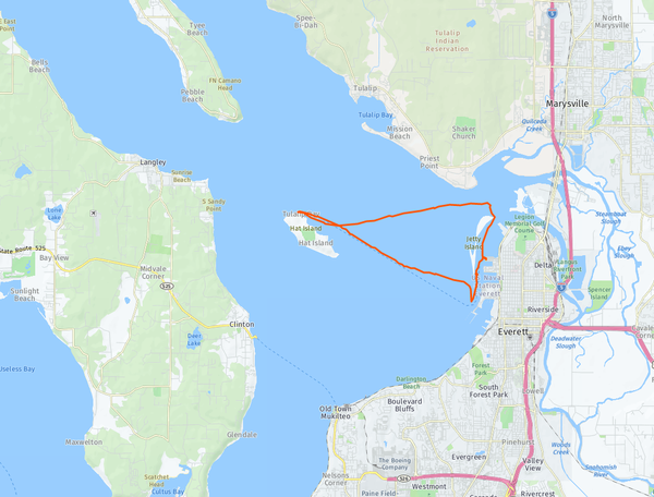
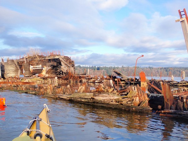
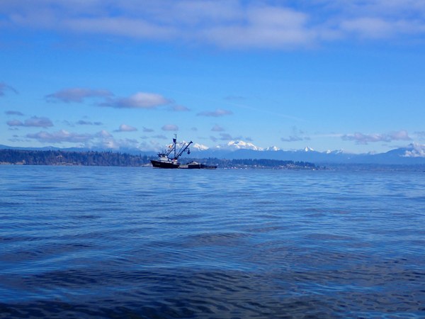
Beautiful 12.1 nautical miles paddle to a Private Island - it was worth going by the ship wrecks (ships sunk in early 1900s), we saw regular marine life (may seals, et al) along the way.
- Sat, Nov 21, 2020
- Sea Kayak - Hat Island
- Everett Harbor & Jetty Island
- Sea Kayaking
- Successful
-

- Road suitable for all vehicles
-
We did this as a 12.1 nautical miles paddle - started from Everett Habor, went to see Sunken ships, and then went to Hat Island, and circumnavigated Jetty Island on the way back.

It was a perfect Fall day - partly sunny, 46F (felt like 54F in the sun), winds less than 5kts. We faced some unexpected currents/waves on the way back close to jetty island.
The good part of this route is that there are excellent backup options if u reach the launch point and figure out that the weather is bad. The backup option is to go to tulalip bay (it requires paddling along the shore), and if weather is worse the backup option is to go around Spencer Island - which is protected.
2 small things to watch out-
1) Jetty Island is longer than shown on some maps because they have put a rock wall to protect the marina. this rock wall is around a mile.
2) Hat island is a private island - there are not many public beaches, and no bathrooms. There is a small beach just north of the ferry landing spot on Hat island. The beach can be under water during the highest tide, and hence schedule to reach there 1 after highest tide or earlier than 1 hr.


 Ash P
Ash P