
Trip Report
Robinson Mountain
Great first big trip of the summer, but my legs would say otherwise.
- Sat, Jun 7, 2025 — Sun, Jun 8, 2025
- Robinson Mountain
- Scrambling
- Successful
-

- Road suitable for all vehicles
-
With the warm summer we're having thus far, route was snow free already except where we chose to descend back to the tarn using south ridge with north aspect slopes that had a little bit of snow remaining. Snow was mushy, sinking to knees when plunge stepping.
After some canceled weekend plans, decide to pivot to Robinson. Got a late start Saturday after the drive to Mazama and started at 11:30am. There's a $5 fee if you don't have a NW Forest pass or Interagency. A QR code on the trailhead sign allows to you pay but not sure who can pay with no cell service there.
Hike out is pretty straightforward and not too challenging. It is possible to get water right before the bridge at Beauty Creek. Saw a rattlesnake cross the trail so be mindful. 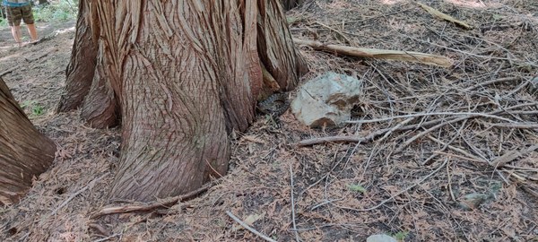 The initial push up Beauty Creek definitely challenges your cardio but there's decent switchbacks then flattens out while it parallels Beauty Creek. There's a good water spot just before the turn west to the tarn. The trail goes through the runoff stream coming down from the tarn so expect to get wet feet or have waterproof boots. The boot path through the meadow out of the valley is steep, rough, and loose.
  The switchbacks do their best to ease the suffering but pace yourself, it's a long one. Thankfully there was a slight breeze to stay somewhat cool. Once the trail mellows out, it becomes a bit harder to follow through the forest to the tarn. Having a gpx track helped but if you head in the general direction of the tarn, you'll find the trail again. At about 5pm, we reached the beautiful blue tarn surrounded by snow.
 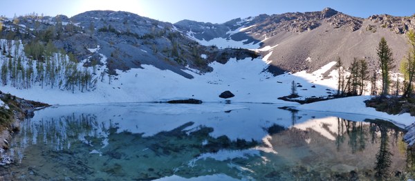 There's a couple rocky flat spots for tents but not a lot of space. Got settled in just before the sun went down behind Robinson-SE peak.
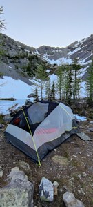
Day 2 woke up at 5am and got on trail at 6:20am. 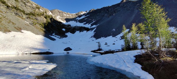 We chose the north ridge, so headed up the scree slope right out of camp.
 Only brought ice axe but never used it. Wish i would have brought hiking pole(s) for getting in and out of the bowl. There's a decent switchbacking boot path up the scree for 3/4 of the slope. Once we got closer to the rocks we tried to stay on the rock to avoid scree backward sliding. Once on the ridge, we scrambled over the multiple bumps. Nothing was ever challenging except for one move in a dihedral to a small ceiling, that was probably our fault for getting off route.
 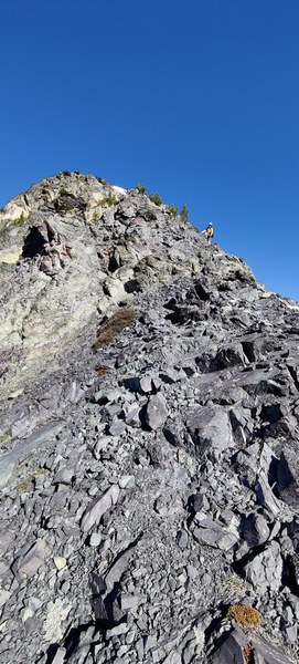 Upon reaching Robinson SE peak, it was a decent walk over bypassing the lesser peak and cutting the corner by staying low and traversing along to the south of the ridge doing our best to stay on the boot path.
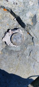
 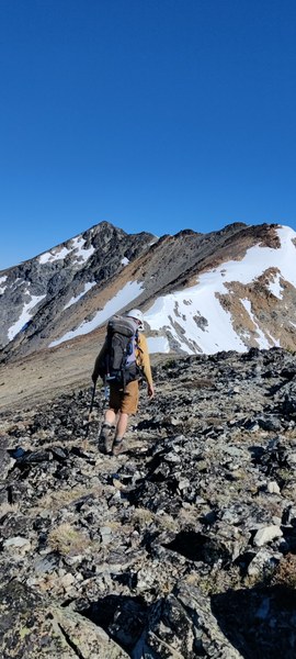 The last couple scrambles were exposed but not difficult. These are the crux pieces of the whole climb. Having the gpx tracks were helpful to know when to go over a bump and when to go around it, but for the most part you're going up and over. Careful as the volcanic rock is sharp. Test holds before committing to them. Past the crux, it's a walk up to the peak. We reached the summit at 9:30am. Lucky there were great views, decent temps and no wind, so we hung out on the peak for 30-40 minutes.
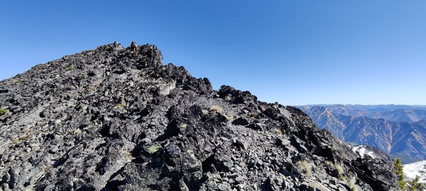
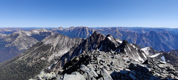
The way back was a reverse of the crux careful down climbing and then cutting the corner back to Robinson SE. Not wanting to reverse the north ridge scrambling, we opted to take the south ridge for some different views and hopefully easier way down. However, was attracted too far left at one point and found myself scrambling on a slab, smearing in mountaineering boots with loose rock over top and only hand holds with a decent cliff behind me. One in our group took the first couloir and used ice axe self belaying down the steep snow until they could traverse on rock and get into the bowl that had a little bit of snow left.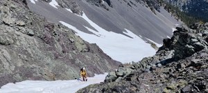 The rest of us continued to the commonly used south couloir. It still looked rather steep and only had snow in the first 30-40 feet near the top. Would have been a hard transition to scree. Any slide could end quickly into the scree as well. Just past that couloir was a rocky mellow slope leading to the trees. We made our way down this slope. Scree at first, then snow then to grass, and back to snow at the end as we worked our way skier's right to avoid cliffs to the left. We eventually saw the boot path for this side where the snow was melted. This route is probably favored later in the summer when there's no snow as the scrambling was definitely easier on the south ridge (except where i got off route). We arrived back to the tarn at 3pm to get more water, load some Calories and pack up camp.
At about 4pm, the wind whipped up and we knew it was time to get going out of the tarn camp bound for the trailhead. Nothing of note on the way down except the loose meadow decent to Beauty Creek had a couple of us slide onto our butts. The air temps warmed as we descended so it was important to stop for water. We eventually reached the trailhead at 8pm just as it was becoming dusk.
Then a quick stop by a friend's house to clean up. Got gas at Mazama store and off on the 4.5 hour drive back to Olympia.
 Patrick McLaughlin