
Trip Report
Nighttime Navigation in Puget Sound
Tips for a successful low light evening paddle, including vibrant exchanges with VTS.
- Fri, Jun 20, 2025 — Sat, Jun 21, 2025
- Sea Kayak - Blake Island Marine State Park
- Blake Island
- Sea Kayaking
- Successful
-

- Road suitable for all vehicles
-
- Darkness: Late lingering Solstice light on initial leg. Then full nighttime on return.
- Winds: calm from S on initial leg. Then stronger up to 8+/- kn on return leg.
- Currents: insignificant flood from the N, effectively slack on both legs of route.
- Weather: warm and balmy (low 60's F); clouds in distance only.
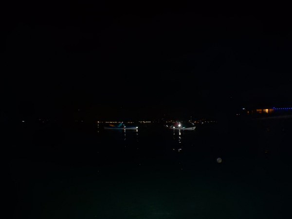
A Dark Voyage!
Five of us prepped for and braved a crossing from Blake Island to Alki at night, then returned. It was a perfect summer solstice evening (Fri 6/20/2025, 9:30pm to midnight) to do so, launching as the last vestiges of Springtime dissipated. Highlights of the outing included multiple vibrant exchanges with Vessel Traffic Service (Coast Guard's VTS), collective identification of distant sightings, and the thrill of nighttime navigation. Some Key Tips follow.
We paused at Constellation Park just S of Alki before relaunching our return at 10:45pm without any ambient summer light except the faint urban sphere, arriving back at Blake's NE Harbor area just before midnight. We crashed in the group shelter closest to the jetty for a few hours, built a small fire in the raised pit, gave each other high-5's, and got up early to return to our original Southworth departure location. Two of us had raccoon's crawl over our bivouacs during the few hours we rested. Our late stealth landing and early departure made it so we didn't see any others, not even the Park Ranger. There were surprisingly few campers and boaters for such a lovely solstice evening, even at the NW spit which we rounded earlier before our ship channel crossings.
Visibility was high, given it was night. From Alki, during our break, we took time to read the horizon filled with specular lights, mostly static ones along the shore, some buoy Aids-to-Navigation and a number of ships (mostly moored). For example, we could identify the well-lit infrastructure at the "Pentagon's largest gas station" (the Manchester Navy refueling depot on Kitsap) and much more 5nm+ away.
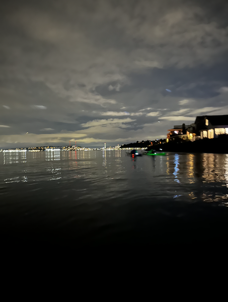
Key Tips:
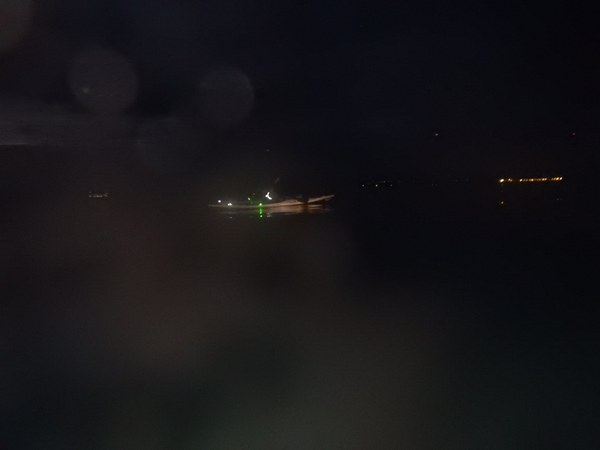
1. Place good lighting appropriately: these cheap clip-on's worked effectively. Mount (Port-Left-sided red and Starboard-Right-sided green) lights slightly Aft of cockpit to keep paddler's nighttime vision minimally impacted. Mount them as close to the edge of your hull as possible (leaning slightly over edge is best; not on top of deck). It better enables fellow kayakers to only see one of the two (red or green) lights from their angle beside you. The white light is ideally at the stern, lifted up by any tower-like improvisation if available. We chose to have all 3 lights on each kayak within arm's reach of the paddler's boat, but realistically that wasn't necessary. A fellow kayaker can help turn each on/off when necessary.
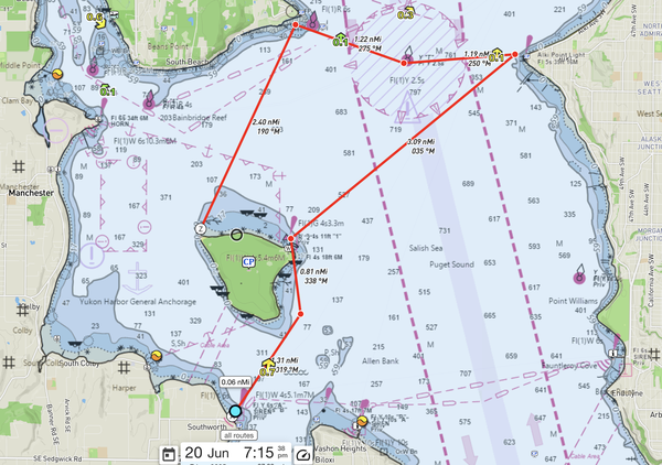
2. Pre calculate bearing angles along legs of your route. Check them while on the water (via compass, visually and any Garmin type devices). Then tweak your headings, based on those bearings, with any realtime wind conditions and projected impact of currents. We had minimal so were able to go with what was chart-measured. Often, actual launch times on various legs of a route can change significantly --as happened to us by up to 90 min-- so having pre-determined bearings independent of wind/currents allows finalization of your heading adjustments with the accuracy of a known launch time once on the water and setting out. We leveraged only the 35M degree from Blake to Alki of this original plan. Converting it to 215M degree for return by adding 180M.
3. Check compass and timepiece alignments. One of us had a tunafish tin can and mobile phone just under the hatch near the deck mounted compass, altering the compass by about 20 degrees at times. We eliminated those factors before setting out, and then re-verified alignments. Our timepieces varied by up to 5 minutes. Establishing a universal time helps unify calculated progress.
4. Communicate with VTS (Vessel Traffic Service) effectively.
We chose to only communicate our crossing to VTS on the return, because we could still see enough to confirm the channels were clear and we could see on our devices there were no AIS broadcasting cargo ships en route, via Garmin device (with data internet connection)
On return, after reconfirming there were no ships en route, since it was very dark (10:45pm), we notified VTS.
INITIAL VTS CONTACT:
- Alan: "Traffic, this is KayakAlan. (again) Traffic, this is KayakAlan."
- VTS: "This is Traffic."
- Alan: "Westbound from Alki to Blake. (again) Westbound from Alki to Blake."
- VTS: "Understood. No ships... But what is your vessel type?"
- Alan: "We are 5 kayaks with navigation lights."
- VTS: "Ok!! (implying 'Wow' due to nighttime). What is your call signal again?"
- Alan: "KayakAlan (repeated again)"
- VTS: "Ok!! Please tell us when you arrive."
- Alan: "Will do. 1 hour, over and out"
- VTS: "Roger".
MONITORING Channel 14, we heard:
- Shortly later (about 30 min), a large cargo ship notified VTS they were en route from Tacoma northbound (toward us) going 9kn.
- Will Wade quickly confirmed its loc on his Garmin. We determined we could go ahead of it based on speeds/locs.
- VTS told cargo ship Kodiak of our existence and asked the cargo ship if they could see us.
- Kodiak responded, something like, "WTF! Kayakers at night! Where are they again?"
- VTS estimated and told Kodiak we were monitoring 14 and asked Kodiak if they could hear us.
- Kodiak said they could not hear us but would start looking for us actively.
- In contrast, we could hear the VTS-Kodiak exchange. Then VTS contacted us for our precise loc to assist Kodiak.
- We told VTS we were 60% across to Blake and out of the N-bound shipping channel, with "about 25 minutes to go", when VTS asked our loc and ETA.
- 10 min later or so, well before Kodiak reached our latitude, they told VTS they picked up our lights ("faint" to them), and estimated we were by then slightly west of the S-bound shipping channel (out of their way).
- We didn't need to respond further, and didn't to that exchange.
- But we did notify VTS upon our Blake arrival, per their request.
- And we guessed VTS sounded a collective sigh of relief. :-)
5. Monitor multiple channels. Some of us were on each of these channels: 14, 16 and 69. One of us was primary on 14 to handle traffic, as we stayed tight together.
6. Actively read and share observations on the distant lights and waters. Instead of casual chatter -story telling, etc- stay engaged with each other in-the-moment on risks with frequent exchanges on what is being seen. We observed near flat water change to rippling waters, and then back; the reflection of the Space Needle on the water; and repeatedly identified various static and moving ships, urban settlement areas, and buoys (e.g. the Yellow Flashing @4 seconds separation buoy known as "T" Tango, initially not visible 3.5nm away but then coming into clear sight as we approached Alki). Moving vessels weren't easy to pick out, most being far away. As we progressed in the low urban ambient light with no daylight remaining, we sometimes identified areas by hardly distinguishable levels of darkness created by the range of parks along the shore, or bluffs of various hill ranges (i.e. dark areas vs. developed areas).
7. Modify your route based on real time factors. We launched later than we planned. We thought we would go the Separation Buoy and Restoration Point shown in the DeepZoom screenshot, leveraging lingering Solstice light. We ended up just going from Blake to Alki and back as it became effectively completely dark. Our return was heavily aided by the white blinking light fixed onshore just S of Blake's NE tip. Interestingly, from Alki's perch (NE of Blake), that marker appears to be in the middle of Blake, not the North end. Incorporating directional perspective is critical to determine bearings in low light. (Even in day light, on another journey from another angle, the NW tip of Blake can look like it's to the South. Coming out of Rich Passage, which is to the NNW, Blake's northern most tip look like it's further to the South from the low horizon line of a kayaker.) Paddlers need to mentally rotate their chart when on the water to the axis of their heading, to better picture what is in front of them, particularly when looking across long fetches with minimal clear delimiters and contrasts.
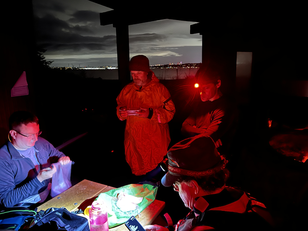
Cheers! To Hunter Burke (for rallying participants), Will Wade's Garmin, Brian Stone's humor and a special congrats to David Block for simultaneously achieving his equivalency test on this voyage.
-- Alan Marshall
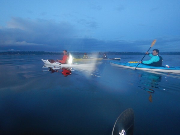
Hunter (close on L; then Brian and Will and David on R).
--
p.s. Here's another Trip Report link on navigating in the Fog!
A foggy nighttime journey would be an even greater challenge. Perhaps in the future...
 Alan Marshall