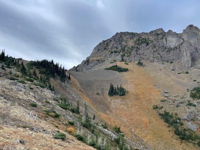
Trip Report
Scramble NE Mount Worthington & Mount Worthington
Hiked in Tubal Cain Trail for 3.1 miles. Took Tull Canyon Trail thru the B-17 crash ruins to the ridge connecting Hawk Peak and NE Worthington. Scrambled NE Worthington. Then worked our way south on the east side of the ridge and below the ridge to an area approximately east of the Worthington summit. Climbed to the summit of Mount Worthington from the east. Then along the Worthington ridge and dropped thru scree to Buckhorn Lake and trail out.
- Fri, Oct 11, 2024
- Mount Worthington
- Scrambling
- Successful
-

- Road rough but passable
-
Trail from Tubal Cain trailhead to Tull Canyon trail intersection in great shape. Tull Canyon trail steeper but ok. Scramble route to NE Worthington Summit was fairly easy to detect and negotiate. Nothing too scary. Some routefinding required to complete the traverse from NE Worthington to Worthington. Gave up several hundred feet of altitude after about 1/4 mile of scrambling the ridgeline to work around cliffs we did not want to climb. There were signs of human traffic that we followed more or less. Then scrambled from the east side of Worthington to the summit. Class 3. Summit block has some exposure but doable without rope for our party of 2. Scree from the summit ridge down to Buckhorn Lake. Some bushwacking just above the lake. Trail from the lake to trailhead.
This was a follow up to a trip the previous weekend where we camped at Buckhorn Lake, scrambled to Worthington, then traversed and scrambled Iron, NE Buckhorn and Buckhorn and took the trail back to Buckhorn Lake for our gear and hiked out to Tubal Cain trailhead.
For this trip we drove to Tubal Cain trailhead arriving at 0830. Hiked the 3.1 miles to Tull Canyon trail branch, took that to the ridge between Hawk Peak and NE Worthington. We checked out the test shaft just above the Tull-Tubal Cain trail intersection as well as the B-17 wreckage along the trail.
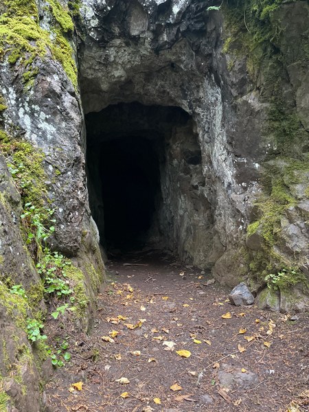
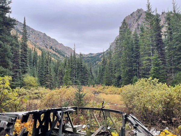
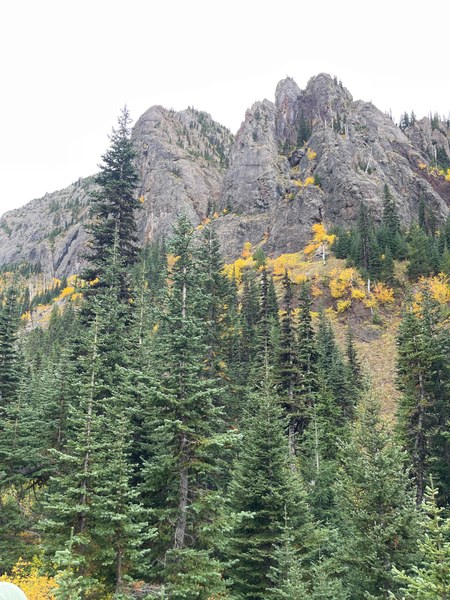
At the ridge we picked a route we thought would go the NE Worthington summit and it did. Short break at the summit and then scrambled the ridge toward Worthington. This is obvious from the summit of NE Worthington - at least the first several hundred yards of the route. After this we generally stayed climber's left of the summit ridge and lost altitude further left to get around cliffy areas. When generally directly east of the Worthington summit we scrambled pretty much straight up to the summit block and the summit.
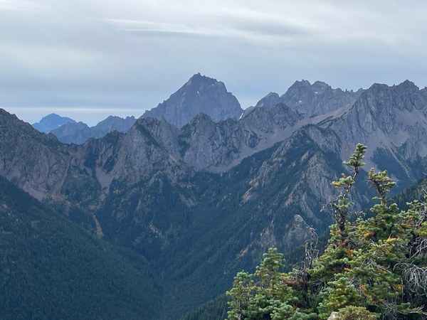
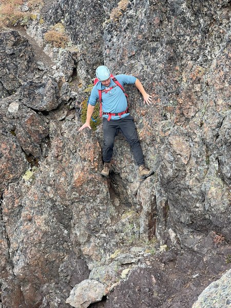
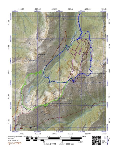
As mentioned, the previous weekend we went from Buckhorn Lake to Worthington - Iron Mountain - NE Buckhorn - Buckhorn and back to Buckhorn Lake via the trail.
Map showing both trips, here:
 Jerry Logan