Trip Report
Mount Garibaldi/Brohm Ridge
More skinning than skiing, but a fun trip nonetheless to this picturesque Canadian volcano.
- Sat, May 24, 2025 — Sun, May 25, 2025
- Mount Garibaldi/Brohm Ridge
- Backcountry Skiing
- Successful
-

- Road recommended for high clearance only
-
We took Branch 01 of the Cheekeye Forest Road up to about 3000' and parked on a dirt pullout before a steeper section of road with loose rock. In our Toyota RAV4 full of 4 people and gear, there were a few spots in the road where we scraped under the car but it did not seem like anything was damaged. It's possible with a slightly higher clearance vehicle (or less stuff weighing down our car) we would have been able to make it higher up the road.
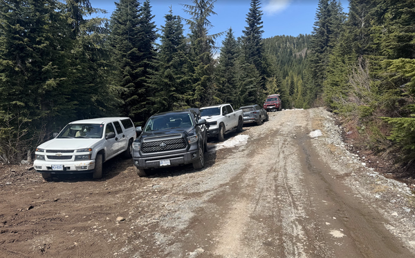
Most vehicles seemed to be able to make it to 3950' elevation. Here we saw multiple Subarus, a Mazda CX50, Broncos, another RAV4, some pickup trucks. After this the snow starts and the road gets much rockier--only very high clearance 4x4 vehicles could probably make it 100' or so higher.
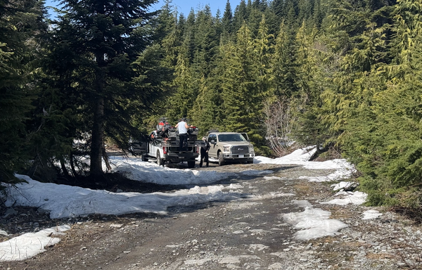
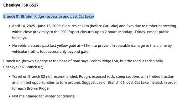
Lots of snowbikers and snowmobilers Here's the road info as of May 2025:
Bergschrund is starting to open at ~8,300' but still easily bypassable by going around it. We did not see any open crevasses. Our group of 4 brought 2 glacier ropes and 1 picket per person but we didn't end up using any of it.
STATS
Dates: May 24-25
Participants: Zihao Deng, Jacob Whitbeck, Jacob Powell, Isley Gao
Route: Mt Garibaldi via Brohm Ridge
Rating: Steep snow
Roundtrip Distance: ~19 miles
Elevation Gain: ~7,000
-
Strava: Link
Gaia map with campsites, bergshrund, parking waypoints marked: Link
Timeline:
Car to Camp: ~4 hr
Camp to summit: ~5.5 hr
Summit to camp: ~4 hr
Camp to car: ~3 hr
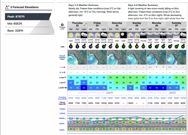
Weather leading up to our trip (Sat-Sun):
day 1 - Seattle to CAMP
We met up in Seattle and carpooled with all four of us in 1 car. As we approached the border, we decided to cross through the Lynden border crossing (Google maps) as Peace Arch and the truck crossing options had 40+ minute wait times. We ended up waiting maybe 10 minutes at the Lynden crossing.
After a quick stop at Tim Hortons in Squamish for lunch and last bathroom access, we headed toward Cat Lake and Branch 01 of the forest road. The first dip in the road was the deepest and we ended up scraping the bumper and tailpipe (oops). The rest of the drive was bumpy but doable-- taking on the dips at an angle helped us get over most of them. As we got above 3000' we struggled getting up a steep section, losing traction on the loose rocks, so we decided to turn around and park at the nearest pullout at 2,899'.
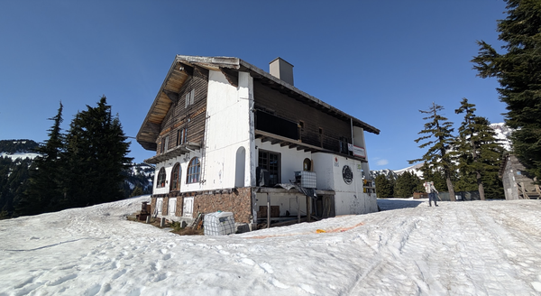
We hiked up the road and reached many cars parked at a bend in the road at 3,943', including another group of Mountaineers also climbing Mt Garibaldi the same weekend. The snow on the road appeared soon after and we started skinning up the rest of the road, eventually reaching the chalet (Blacktusk Snowmobile Club).
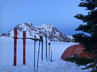
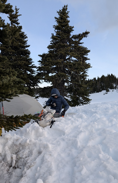
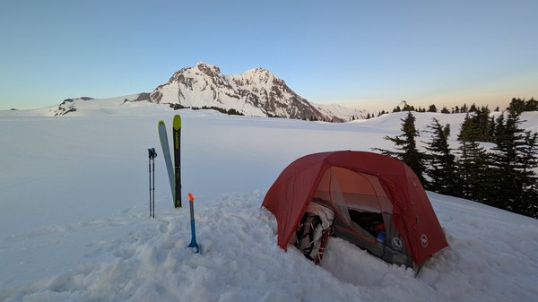
Since we started pretty late in the afternoon, we decided to camp lower than initially planned, and found a spot nestled in the trees at 5,746' with fantastic views of our summit objective.
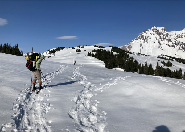
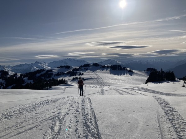
Our original plan was to camp on the ridge (49.85491, -123.03554, 6217') just before Brohm Peak, but knowing we would need to melt snow for water and expecting it to get windy overnight, choosing the spot in the trees was probably the right call, since after eating and finishing camp chores we went to sleep around 9pm.
Day 2 - Camp to Summit and Back home
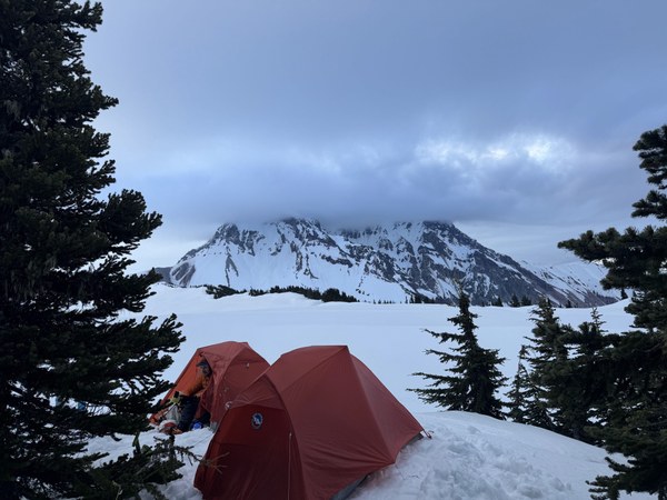
The night before, we decided to have a late start hoping for a more enjoyable ski down, but it ended up being unnecessary because it never got cold enough overnight to form a crust, and the snow stayed soft. The morning of summit day, we awoke to Mt Garibaldi summit shrouded in clouds. With a weather system approaching on Monday bringing new precipitation, we hoped conditions would stay favorable enough for our summit bid--which it did!
Brohm Peak
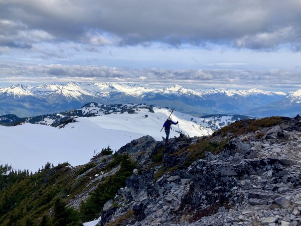
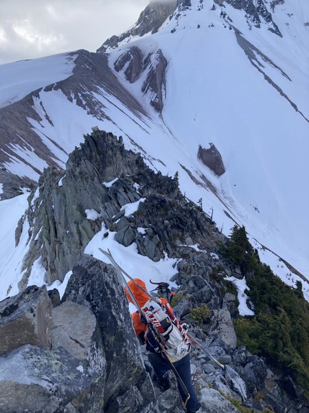
We skinned up to the ridge and approached Brohm Peak. From afar the scramble looks exposed, but upon getting closer there is an obvious dirt trail that goes up and over, following the rocky ridge to the other side. We strapped our skis to our packs and followed the trail, bracing against the gusts as they pushed our skis around like sails in the wind.
Bergshrund and Summit
On the other side, we put skis back on and skinned toward the start of the glacier. Instead of descending and going all the way around the snow slope between us and the traverse to the summit, we booted up the snow slope and stashed skis at 7,770'.
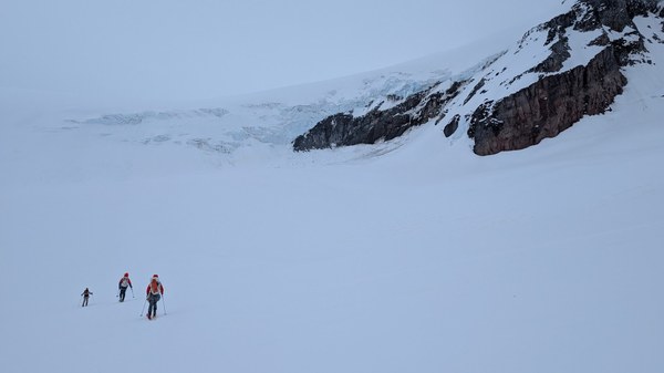
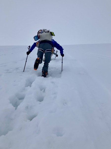
As we approached the 8,303' we could see the opening of the bergschrund, but it proved to be easy to walk around trending climbers right before heading back left. The final section from here to the summit is probably where the "steep snow" rating for this climb comes from, and it was reminiscent of booting up the Old Chute on Mt Hood.

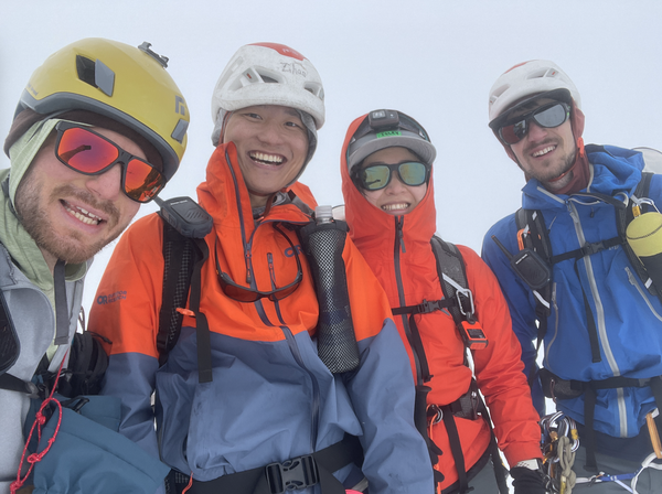
Stepping onto the summit was very underwhelming as we had spent the last couple hours in a whiteout with decreasing visibility. There were absolutely no views but we were still very happy to have made it.
Descent
We followed our boot prints back to where we stashed our skis, and transitioned to downhill mode.
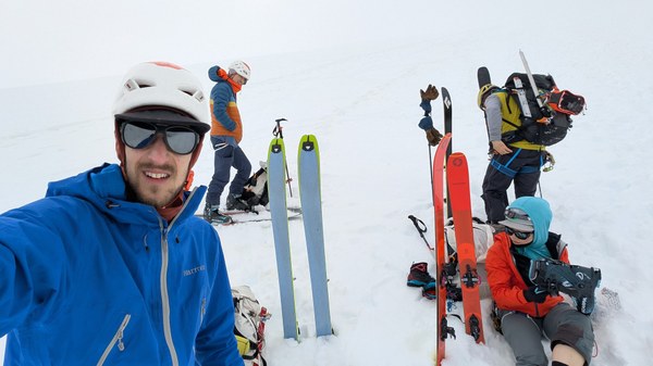
We got some fun turns in here as it was continuously downhill, and at the base of the snow slope transitioned back to uphill mode (~6,643').
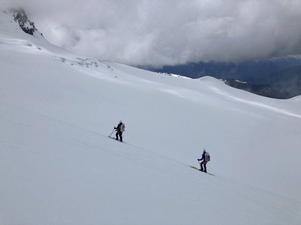
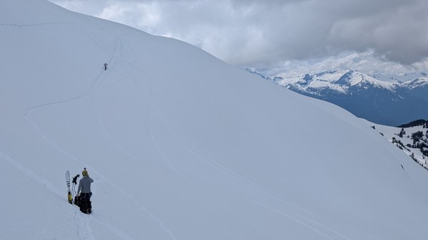
The rest of the descent was undulating uphills and downhills, so we ended up keeping skins on for almost the entirety of the descent. We bypassed Brohm Peak, skiing down skier's right, then climbed gradually back up to the ridge, following it back to camp.
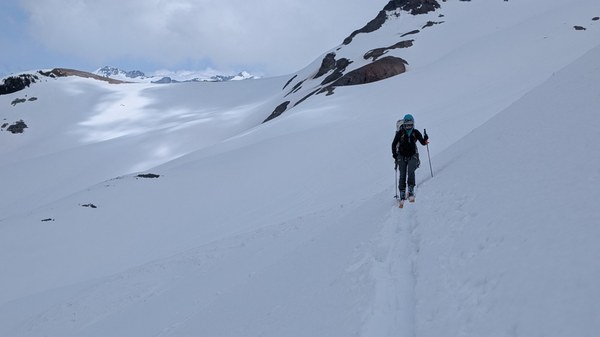
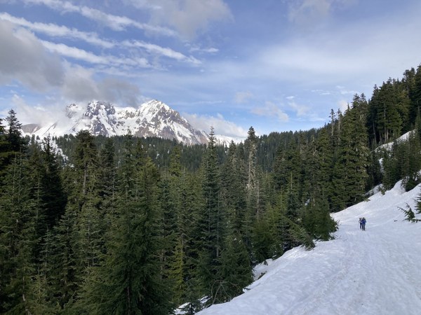
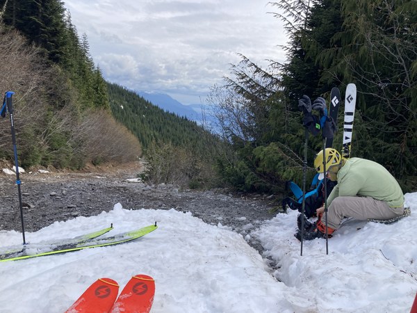
We skinned out the rest of the way until the snow ended, and walked back to our car. It took another 40ish minutes as we slowly made our way back down the forest road, once again scraping the bumper on the last dip before the road flattened out to Cat lake.
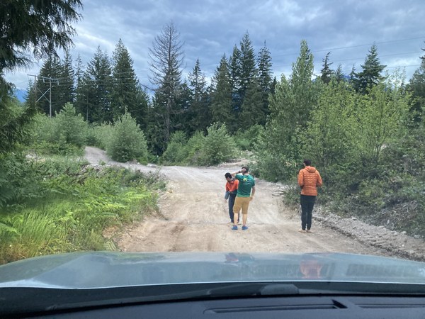
A smooth drive back through the truck crossing (543) border crossing and we made it back to Seattle around midnight.
 Isley Gao