Trip Report
Greider Lakes
A fall hike up to some interesting lakes in the Sultan Basin area. Trail was very wet and in need of some maintenance.
- Tue, Oct 22, 2024
- Greider Lakes
- Day Hiking
- Successful
-

- Road rough but passable
-
Once Sultan Basin Road turns to gravel there are many sections that are wash boarded and some minor potholes. Any car can make it if care is taken.
The first two miles of trail is flat with a number of small creek crossings. The larger creek crossings have bridges.
After the second mile the trail heads steeply uphill. There are numerous switchbacks. Water flows down the trail in many places - wear waterproof boots and take care on the slick wood stairs and puncheons.
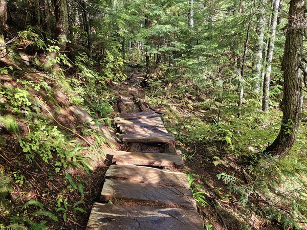
Typical wet puncheon The higher you go the worse the trail gets. Most of the blowdowns have been cleared but there are places where the trail has been rerouted and one place where a short scramble is required (about 3.25 miles in).
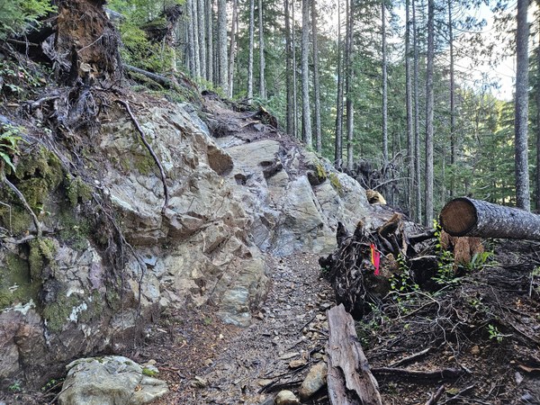
Short Scrambly Section There is some trail sloughing and one really slick stream crossing on the trail between Little Greider and Big Greider.
The campsites at both lakes were small and very wet when I visited. The latrines have been removed - so if you plan to camp here you probably should be using wag bags to protect the Spada Lake municipal water supply below you.
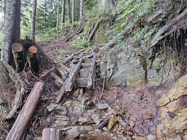
Washed out steps
A Fall hike to two interesting lakes in the Sultan Basin above Spada Lake.
After getting my free Sultan Basin visitors permit at the kiosk, I drove the gravel road to the South Shore Trailhead. This section of road is better than the gravel portion of Sultan Basin Road.
The first two miles of the trail follow an old access road and are flat. There are a number of small stream crossings that I was able to hop across. A couple of larger streams have bridges across them. At about 1 mile you come to a picnic area with a view over Spada Lake, an information sign, and two porta potties. These are the last restrooms on the trail.
Just past two miles from the trailhead there is a fork with signs saying Boulder Lake to the left and Greider Lake to the right. The trail to Boulder Lake is washed out. Immediately after starting out on the Greider trail there is a junction to a loop trail - this circles Reflection Lake (a pond really). Taking this loop adds less than a quarter mile to the trip.
The Greider trail now switchbacks up about 1500 feet in less than a mile and a half. Blowdowns have been cleared but the trail is very wet. In places the trail is a stream. All of the puncheons, steps and roots were very slick (It was not raining when I hiked but had rained for several days prior to my hike). This trail is almost always in shade so it would take a long time to dry out. There is plenty of trail erosion, but the trail is passable. At about 3.25 miles there is an area where the trail has been (temporarily?) rerouted - this felt a bit scramble-like and was also wet.
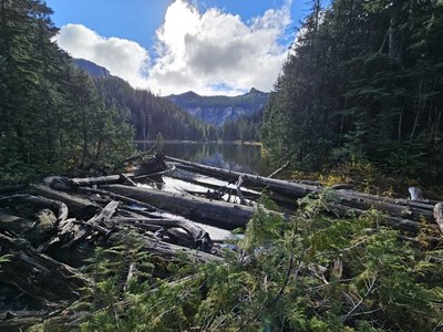
At about 2900' you arrive at Little Greider Lake. It is a shallow lake in a scenic cirque. There are campsites here, but the latrine has been removed. The campsites I saw were small and very wet.
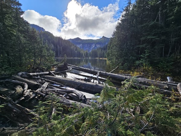
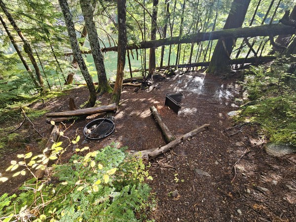
Continuing along the west side of Little Greider, one gains another 50' or so before arriving at Big Greider Lake. The short trail between the two lakes is sloughing in places and has one stream crossing with very slippery rocks to negotiate. Again, there are campsites but no latrine. One of the campsites has a wooden tent platform.
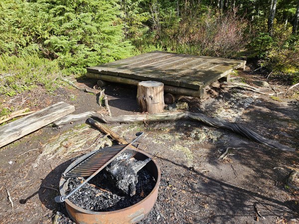
I ate lunch in the sunshine on the logs at the north end of the big lake. The view across the lake toward Static Peak was very pleasant. Alas, the position of the sun did not allow for a good photo of Big Greider.
Total trip time including lunch break was 5 hours. Total distance 9.1 miles. Elevation gain was about 1600'.
 Jim Griffing