Trip Report
CHS 2 Hike - Frog Mountain
Will be a very nice trail once the snow has melted more.
- Sat, May 25, 2024
- CHS 2 Hike - Frog Mountain
- Frog Mountain
- Day Hiking
- Successful
-

- Road suitable for all vehicles
-
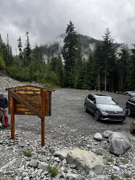
Took the reopened Index-Galena Rd to Jacks Pass. There's about two miles of gravel road to drive before the trailhead. On the very short road from Jacks Pass to the trailhead parking lot, there's a dip in the road that may cause issues with lower clearance cars.
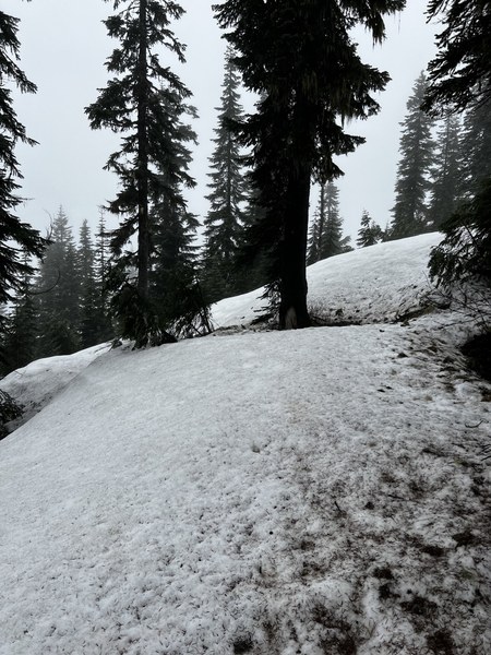
Trail is very consistently graded in switchbacks from the parking lot without many rocks or roots to step over. Intermittent snow starts on the trail 2.5 miles in, but we all crossed with microspikes and poles. As the leader, I kicked stepped some nice tread over the snow for everyone behind to have better footing since there weren't any recent tracks. The trail was completely buried around 4600ft and I called that our turnaround point since anything else would've required off-trail navigation.

Looking upslope from where we stopped and turned around. 
Where we lost the trail around 4600ft. Completely snow covered from here to the ridge. 
Everyone really liked the trail and could see it being a great trip on a clearer day. We had a brief view west out the North Fork Skykomish valley that was very pretty, but were otherwise socked in. Lots of trillium on the trail and heard a couple grouse.
 Klare Frank