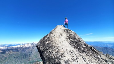
Trip Report
Cannon Mountain via Southeast approach and McClellan Peak Scramble - Overnight Trip
May overnight scramble trip to the Enchantments. Camped at Snow Lakes for three nights. Went up to climb Cannon on day 2. Then McClellan on day 3. Core was covered in a deep blanket of snow making travel enjoyable.
- Thu, May 29, 2025 — Sun, Jun 1, 2025
- Cannon Mountain/Southeast Approach
- Scrambling
- Successful
-

- Road suitable for all vehicles
-
- Snow was continuous in the core. The lakes are just barely starting to melt out or showing some blue ice.
- There was an area on the southeast side of upper Snow Lakes where there is still snow coverage around the lake and on the trail. A stretch for about 1/2 mile.
- No bugs flying around yet, but they are starting to hatch from the melting creeks and waters. We encountered a LARGE swarm of black flies at our campsite. They were attempting to hide between the tent body and rainfly for warmth and protection as it got colder at night. Sorry no photos of the flies. Happy to share all the other photos from the trip. :)
Trip Summary: Cannon Mountain (Bulger list rank #38) and McClellan Peak (Bulger list rank #87).
- Dates: May 29th -June 1st 2025
- Camped: three nights at Upper Snow Lakes
- Summits: Cannon Mountain, McClellan Peak, and Enchantment Peak (Scott only)
- Routes: day trips into the core on day 2 and day 3 to scramble the peaks
- Trip Stats: 35.41 miles, 12,700 feet gain (via Garmin Fenix 8)
Gear:
- Heavy packs around ~40 lbs with four days of food to camp and warm clothing for all kinds of weather
- Ice axe and helmets - Needed axes to follow the steep snow up (summer trail) and around a bluff at Lake Viviane. Used for final summit pushes and steep traverses on both mountains throughout the route.
- Crampons - carried didn't use. It got close to freezing but never quite dipped low enough.
We were a group of three for the trip (Tom, Scott, and Laurel). Two of us ((Scott Brasswell and Laurel) planned to scramble peaks and the third planned to backpack and join our hikes up to the core. Adding details for how long it took and gain from upper Snow Lake in case others decide to do these peaks from this location. In a past trip, I camped in the core to do Enchantment, Little Annapurna and Dragontrail. I was glad to have a different base camp for this trip and to find a tent spot that wasn't on snow.
We had a great trip with beautiful weather and super company! It was awesome to get mileage and elevation gain over each of the four days of our trip.

Day 1 - Thursday 5/29/25 (approach to Snow Lakes camp)
Left Snow Lakes trailhead just after 10am. It was an overcast day and not too warm. This was appreciated while we did the switchbacks up to the Snow Creek Wall. We took a lunch break while viewing the Snow Creek Wall. Didn't see any climbers on this day. But did see two going up while we were hiking out on Sunday. The wall looked to be hot in the warm sun!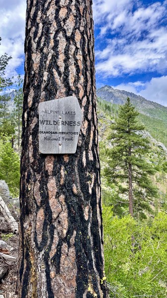
Continued up to the wooden footbridge crossing the big river, ate a snack and filtered more water there. We continued up to Nada Lake where the sun was now shining brightly. Nada Falls was stunning and a great sight to welcome us as we reached the lake. Grabbed more water at the lake and ate another snack.
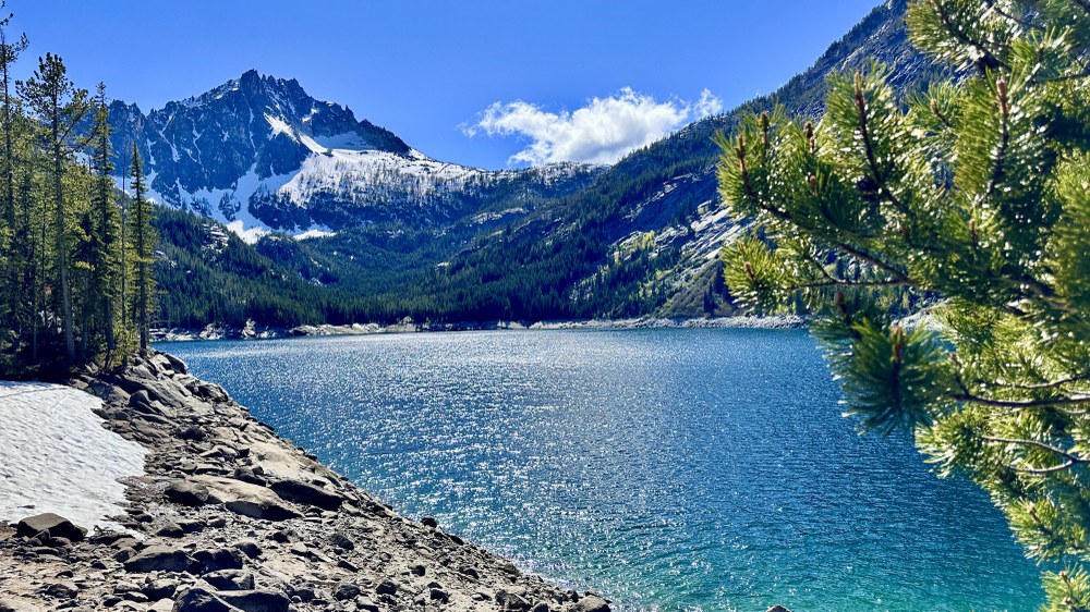
From here we set off for upper Snow Lake and a campsite. It was snow free until the last 1/2 mile or so where due to the warm temps the snow was melting off on the trail. We took a detour to walk along the shores of the lake for a little section to keep the travel enjoyable and feet drier.
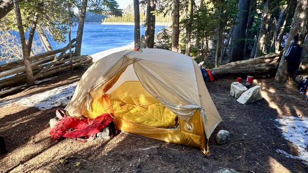
We reached camp, getting the last spot along the lake just next to the footbridge that heads up to the core. It was a large site but still covered in snow for at least half of it. We had two tents and made it work for our space.
Stats: 7 hours, 9.14 miles, 4,511 feet gain
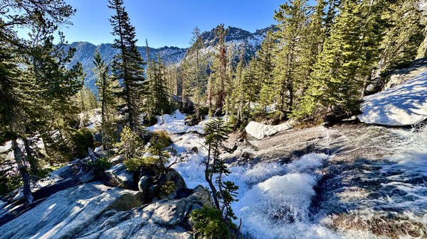
Day 2 - Friday 5/30/25 (Cannon Mountain, Enchantment Peak)
Left camp at 6am and headed up the trail. There were patches of snow in the woods and then on the open slopes near the top of the trail into the core.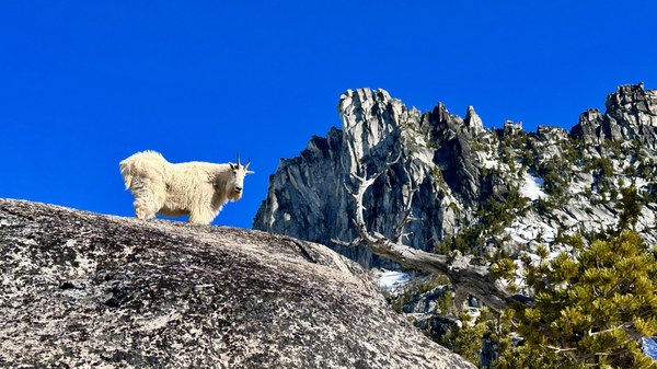 Mr. Mountain goat greeted us promptly as we arrived at Vivianne.
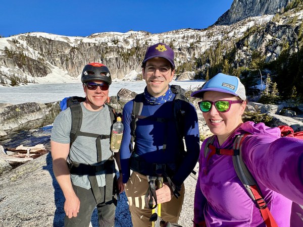 Scott, Tom and Laurel at the lake. Stopping to put on some sunscreen and Chapstick. This trip was a reminder, keep putting it on every hour or two all day!
Once we crossed Viviane Falls we took the steep slopes up above Lake Viviane. Then popped over the crest and back down to the snow boot path making our way around all of the frozen lakes.

We eventually hit the turnoff for Prusik Pass and headed uphill.
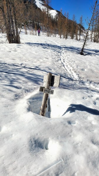
Towards the top of the pass we saw a few exposed places with running water. Making note about the location so we could fill up on the way out.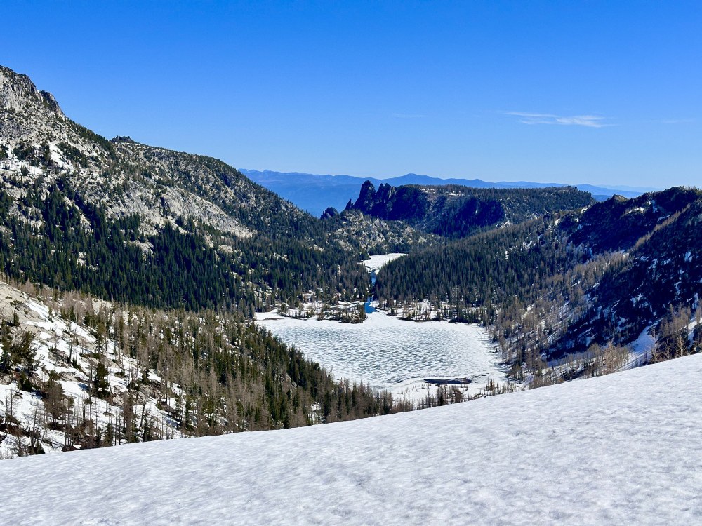
When reaching Prusik Pass, we followed the slopes to the left and did a high (steep) traverse around the rib. Eventually reaching lower angled terrain. Then we kept a traverse and aimed to not lose any elevation as we contoured around towards Loreli Lakelets (named on some map layers, Caltopo TF Outdoors).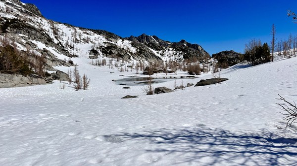
Scott heading up the slopes north of the Loreli Lakelets near 7,600.
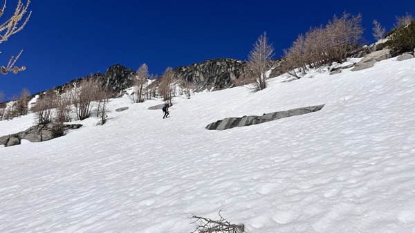
Once reaching the shoulder near 7,900 there was another slope to climb. We couldn't see the peak yet at this point. But when down below it's not totally obvious this is the case as there are several bumps on the skyline.
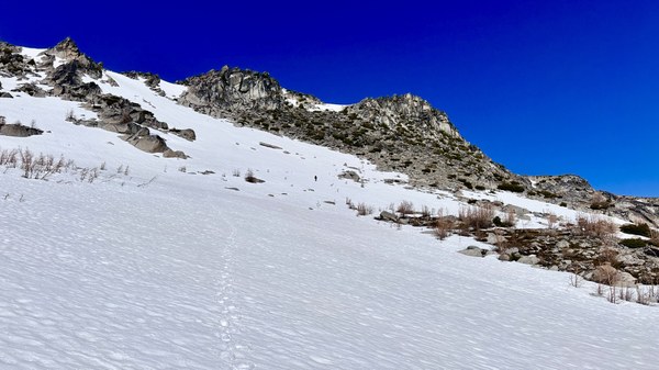
It was continuous snow all the way up to the Druid Plateau at 8,300. The lower half of the plateau was melted out. It was a beautiful place!
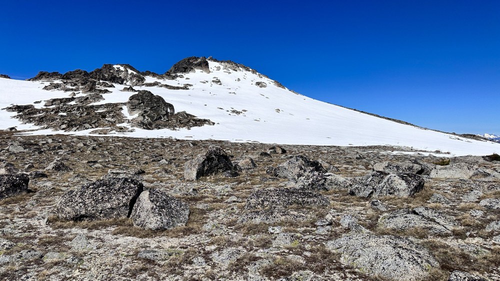
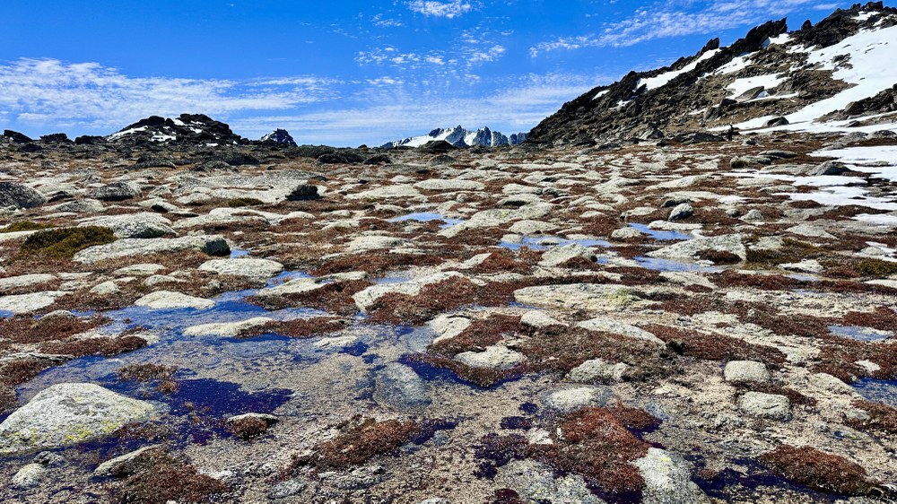
The tundra terrain was incredible; there was water melting around rocks and plants starting to grow. Summit is finally in sight here!
As the terrain started increasing towards the summit the snow was back. It was very post holy for a 50-100 feet stretch on the low angle. We crawled for some of it! Haha.
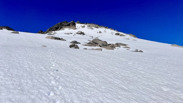
Then there was a steep push to the final summit rocks, that were melted out.
We made it to the summit and Scott went ahead doing the friction slab in his mountaineering boots even though he carried approach shoes. He wanted to check it out and see if it was possible wearing boots.
I got there a little bit after him and he offered to let me use his approach shoes that had been carried in the pack all the way there. I took him up on the offer (thankfully they fit) and he pointed out the small bumps and beta to help me get up to the summit block and then back down.

Getting up didn't feel challenging but getting down was harder to trust and lean into the rock, of course going backwards and stepping your feet backwards. I was thankful for his spotting. The route is shown in the photo above where the rock is light grey.
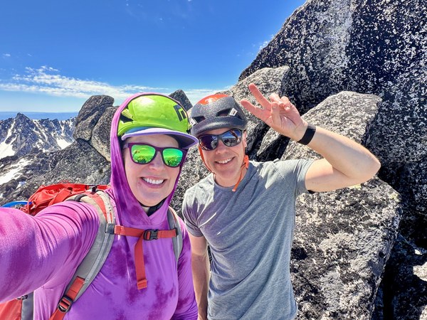
We enjoyed a summit lunch and took in all the peaks. The skies were blue and we could see mountains in all directions. Dragontrail, Colchuck and Stuart were impressive being so close.

We saw all of the volcanos, with Glacier Peak being the most prominent, then Baker to the North and Rainier, Adams to the south. After eating a little and taking a ton of photos we headed down and backtracked the route we had ascended.
 A rare sighting of Coney Lake to the NE as we descended from the summit.
When we got to Prusik Pass we heard a climbing party on Prusik Pass. I could hear them shouting "on belay," and "off belay." I saw them about 3/4 of the way up the rock.
The larch trees haven't yet gotten their green needles for the new season. Some of them, down lower, were starting to pop out but up higher they are still getting ready for summer.
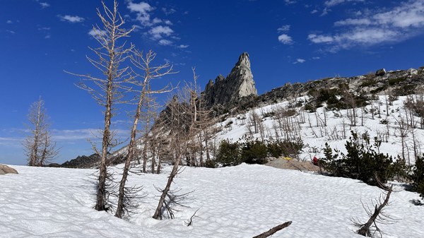
Scott dropped some gear and headed up the remaining 1,000 feet to Enchantment Peak. I had already climbed it on a previous Enchantments trip and stayed behind. I used the time to fill up our water bottles and finish my lunch. I filtered 4 liters from a stream a little ways down the pass and then enjoyed the warm sunshine on some exposed rocks. Even took off my boots and socks to dry them out a bit.
While sitting at the pass, I scoped out the route on McClellan for the next day. There were some foot prints from recent travelers who traversed from the west side (Enchantment Pass area).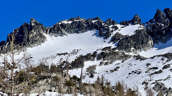
The final snow slopes looked steep. It was amazing that the footsteps were visible from so far away.
I could see Scott standing on the top Enchantment Peak once he made the 4th class moves to the top of the summit block. He was back in no time (1hr 45 min roundtrip) to the col. We packed up and continued down to the frozen lakes. The day was warm and some of the ice water was melting around the lakes. We carefully made our way through the snow (avoiding plunging in) and back down the trail to Snow Lakes.
Throughout the day the weather was warm, with blue skies and no wind. We were really spoiled with this amazing weather on a day in May. At times, it may have even felt a bit warm but luckily our feet in the snow kept us cooler.

We didn't see or come across ANY other parties throughout our entire day in the core. Saw a few resident goats. We heard folks climbing on Prusik and later saw them coming down the trail, passing our camp before nightfall. There was a party who did the West Ridge 5.7 route and another we met on day 3 who did Solid Gold 5.11a.
Got back to camp at 7pm. We had estimated 12-14 hour day and were right on with this estimate.
Stats: 13 hours total, 10.82 miles, 4,042 feet gain
+ additional 1.50 miles, 1,000 feet gain for Scott adding on Enchantment
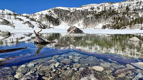
Day 3 - Saturday 5/31/25 (McClellan Peak)
For day 3 we had 4 miles less to cover and decided to start later & sleep longer. Leaving camp at 8:30 am.
On the way up, we crossed paths with the party who climbed Solid Gold 5.11a the day prior. They said it was a great route. We also talked about the awesome Mountain Hardwear Crater Lake Sun Hoody that two of us were wearing and kept us protected from all the sun exposure. It was another beautiful day and we enjoyed the views as we went up the slopes. Even though we had just been up and down this trail the prior day, it was still fun and great to do it again.
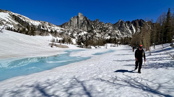
Once in the core we made our way on the east side of frozen Leprechaun Lake. We then took a route that headed south up the eastern slopes. Mostly staying on snow except for a few patches where we hit some rocks and trees.
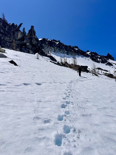
We took turns breaking steps with me starting out and then when we got to the middle portion Scott took over. It worked out well for me because he lead the steeper portion and I enjoyed following his footsteps.
There were some footprints to the far left here, coming off very steep rock. Looked to be from a goat! Don't be fooled by where they go. :)
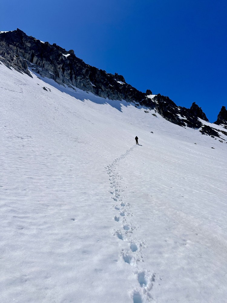
The snow was soft for steps but not too soft. We didn't need to get out crampons but carried them to make sure we wouldn’t get stopped. The Prong from the edge of the rock gully.
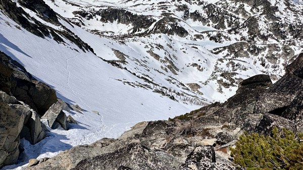
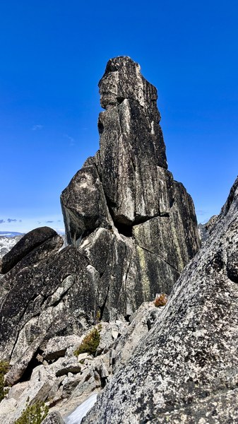 Looking back at the snow section as we started scrambling the edges of the gully on the 3rd class rock. Our footprints come up from the middle, right side of the slope.
We went up to the col and then transitioned over to the rock on the edge of the snow gully scrambling up to the top. Looking at the summit block as we made our way to the top of the north side.
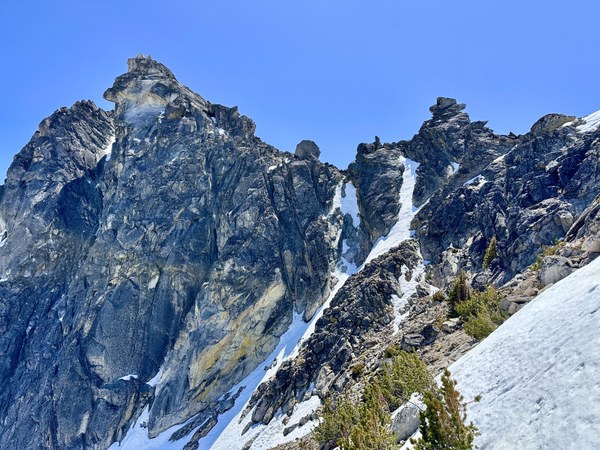
Took our ice axes with us. We didn't know if we'd need them at the top or on the other (south) side.
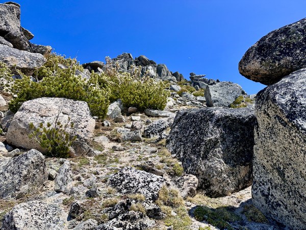
After crossing over, the south side was very open, mostly snow free, lots of big rocks and great terrain to move through. It was really beautiful after being on the snow covered slopes for most of the day. We wrapped around the col and dropped about 80 feet on the flattish benches below the summit rocks. Then made our way up on the western side of the summit.
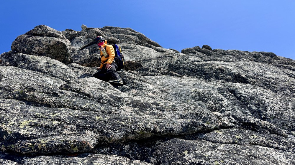
Scott decided to do the 4th/5th class route to the summit around 8,241 ft. I didn’t want to scramble the sloping slabs to the summit with a big pack on (caring crampons, ice axe, poles and everything else in the pack). I went back down 20 feet and then wrapped around east to the 3rd class gully to the summit.
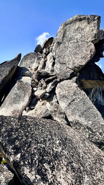
I enjoyed the last few moves up to the summit area, with some stemming and climbing moves. Scott said he even found a 5.7 move to get onto the summit from his route. It worked out well for both of us to reach the top!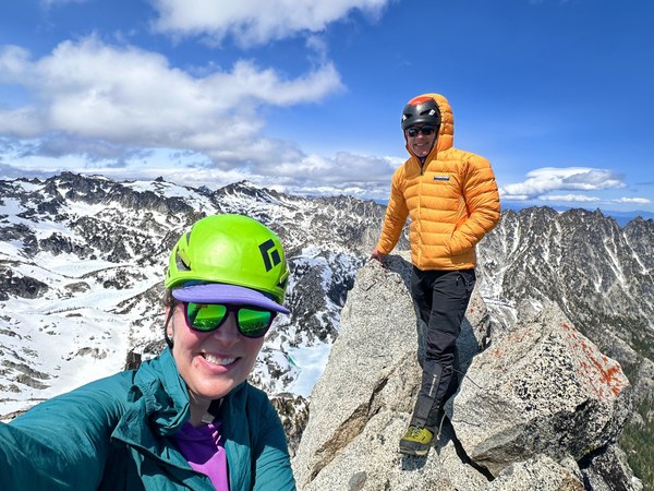
Once at the summit, the wind had come in from the west and we experienced strong gusts. The forecast was winds 10-20 with gusts up to 30 mph. Scott found a less windier place to hunker down for a snack. I took a bunch of photos of all the peaks in 360 degrees.
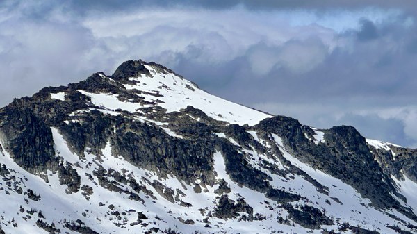
It was awesome to be able to see Cannon Mountain from this summit. There aren't many places where it's possible to see Cannon.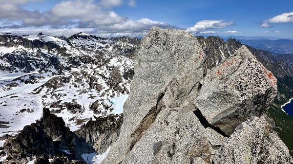 Summit rocks with the core below, Leprechaun Lake in middle, then Snow lakes all the way to the right edge of the photo.
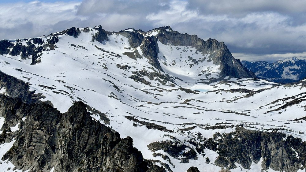
Looking across the core at Witches Tower and Dragontrail Peak. A little bit of blue water showing at Isolation Lake.
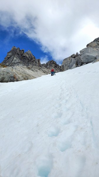
Luckily as we moved back over to the north side for the face in downclimb the wind was blocked by the mountain. We face in downclimbed for about 250 feet (from 8030 to 7780). At this point the slope had flattened out and we plunge stepped all the way back to the pass.
On the way back to camp, we met a through hiker, from California, who had started at Stuart Lake TH around 4am. We walked for a few miles with her, until camp, and enjoyed chatting a bit. She had been looking forward to hiking through the Enchantments while she was in town for work.
Stats: 9 hours 7 min, 6.74 miles, 3,714 feet gain
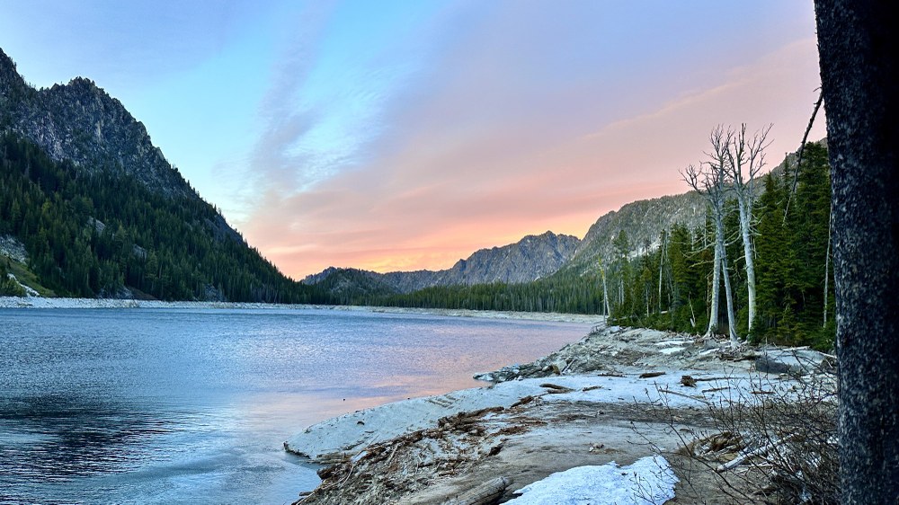
Day 4 - Sunday 6/1/25 (decent from Snow Lakes camp to TH)
Enjoyed coffee and breakfast at camp. Packed up and left camp at 9:30am on our way to the trailhead. The weather was great again, if anything maybe a bit warm.
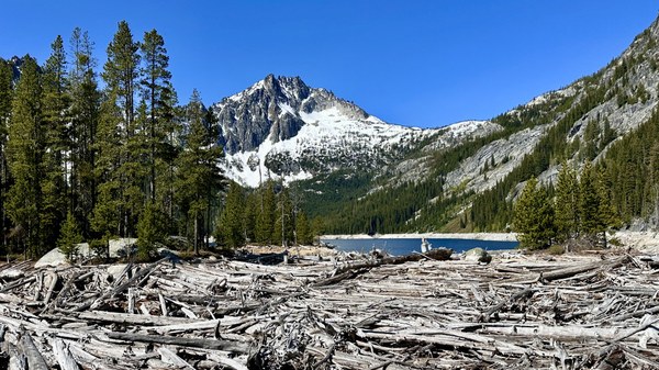
Tom and I took a short break at Nada lake.
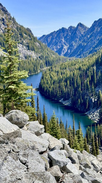
Other than that we kept moving and made it back to the trailhead in 4 hours.
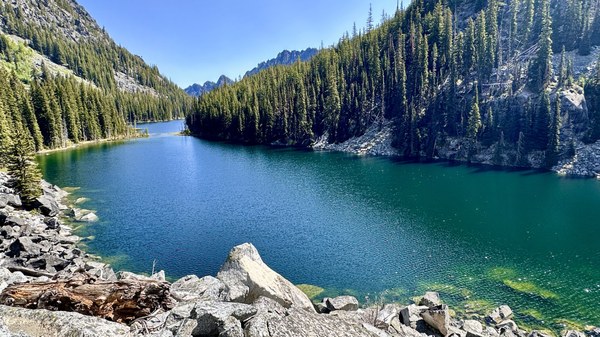
We passed others who were also hiking out from Snow Lakes. We also saw a few parties heading in for an overnight trip and day hikers. It was great to see folks out enjoying the super spring weather.
Stats: 4 hours 3 min, 8.73 miles, 423 feet gain
GPX: https://www.peakbagger.com/climber/ascent.aspx?aid=2859870
 Laurel Geisbush
