Trip Report
Alpine Scramble - The Brothers/South Couloir
A fun and rewarding overnight scramble. Cool temp kept the bugs away, and smokes from the cascades didn't really impact the air quality for us. We hiked in, camped, and had a leisure day on Friday (Day 1). We tagged The Brothers the next day. Routing finding, terrain management, and scrambling on loose scree were technical parts of the trip.
- Fri, Jul 26, 2024 — Sat, Jul 27, 2024
- Alpine Scramble - The Brothers/South Couloir
- The Brothers/South Couloir
- Scrambling
- Successful
-

- Road suitable for all vehicles
-
The road to TH is paved. When we arrived at 10:30AM on Friday, the lot was half full.
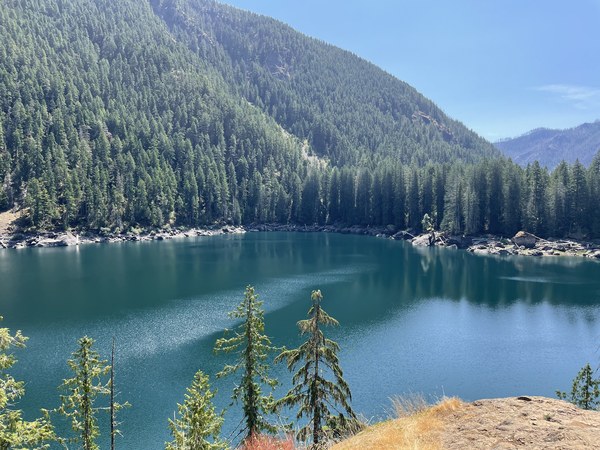
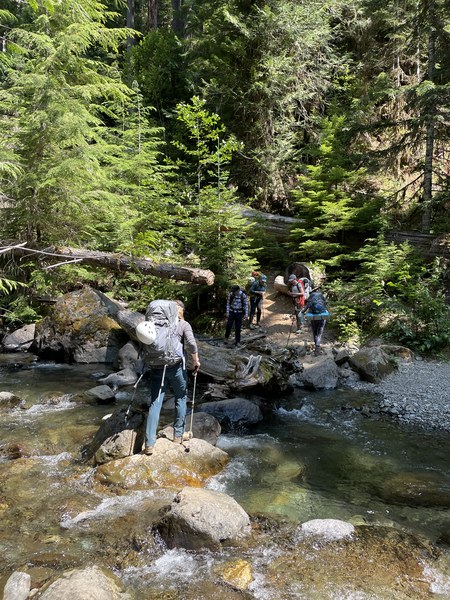
The trail to Lena Lake is well maintained and gradual. There's a creek crossing on the NW side of the lake that requires some boulder/rock hopping, and hiking poles really helped with balancing when we crossed the creek.
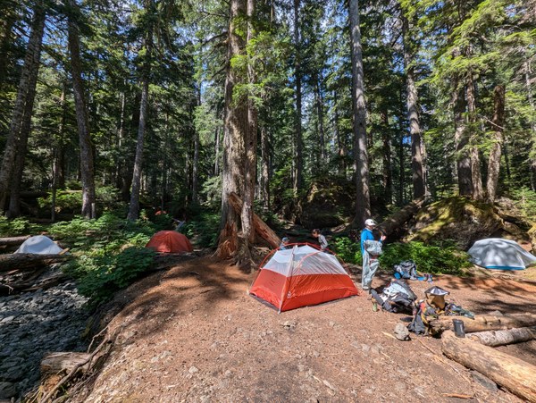
About a mile after the lake, the trail is washed out for a bit. WTA put up some flagging that made it slightly easier to navigate. At one point, you end up walking in the dry creek bed (this is flagged) before the route takes you back to the trail. The Brothers' basecamp has multiple tent spots. There is running water right next to camp. The last reliable water source is at 3,500 ~ 3,900 ft, depending on time of the year.
The scramble path is steep and chossy, so you can either choose clear boot path or be deliberate with your footings. I can see why people prefer to do this trip as a snow scramble in early season
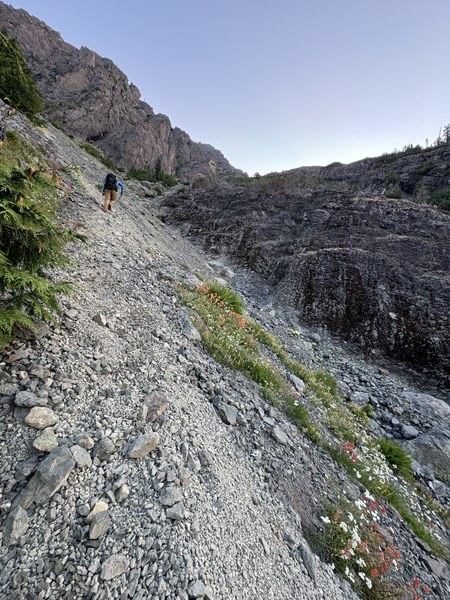
- A 2022 Mountaineers trip report by Sherrie Trecker
- 07/06/2024 WTA Trip report
- 07/20/2024 Peakbagger trip report
Other Important Trip Information:
As mentioned above, Lena Lake Trail was in great shape, and then there's a fainted boot path that you can follow to the base camp. The route finding got tricky just after we left camp for the summit push. We had to look hard for the boot path as it seemed to disappear often, but we had no trouble staying on it on the way back. Eventually we hit open meadows and entered the Burn Zone soon after.
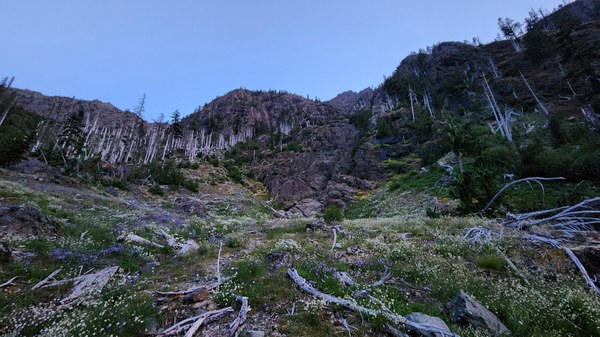
The boot path in the burn zone was pretty easy to follow, and we just had a few blowdowns we had to hop over. The scramble path got steeper and more chossy as we were getting out of the burn zone, and it didn't end until we hit the summit. We put on helmets as soon as we noticed a significant presence of loose material on the route.
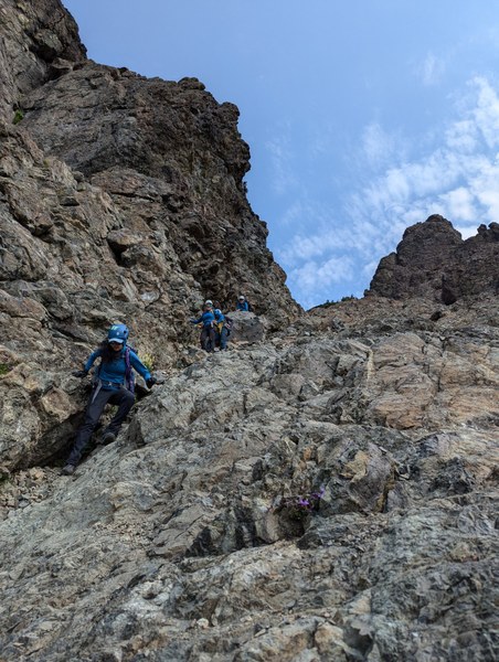
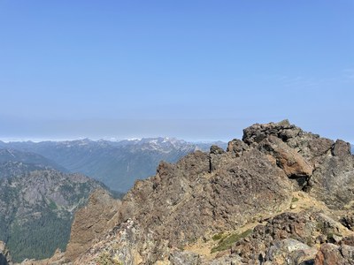
The route to the summit was well marked with cairns for the most parts, but I found a couple of them misleading. If you start doing something more than class 3 scramble, you are probably off route. At around 6,600, look east for a small doorway (or chimney) in the rock marked by three cairns - this slot opens up to a ramp to the summit.
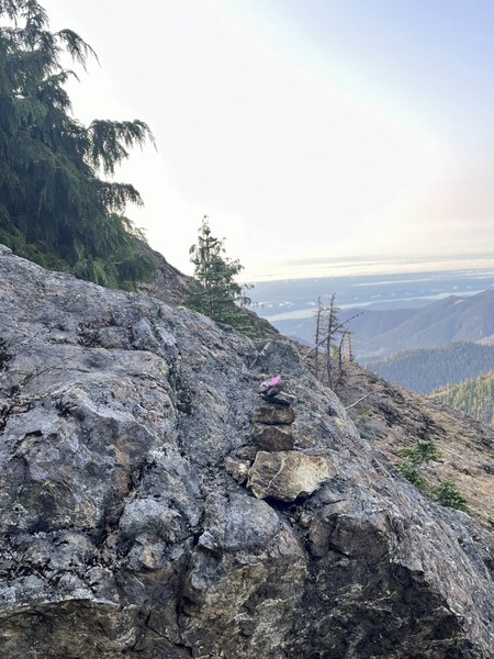
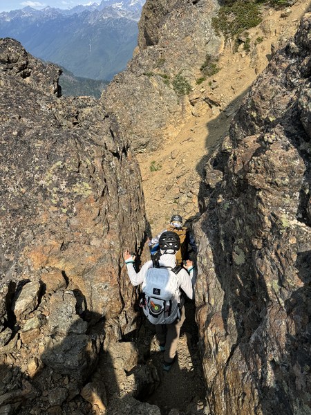
Defintely a cool feature on this mountain
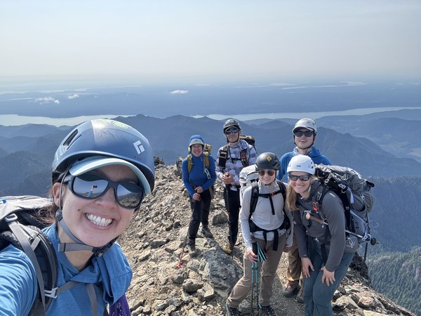
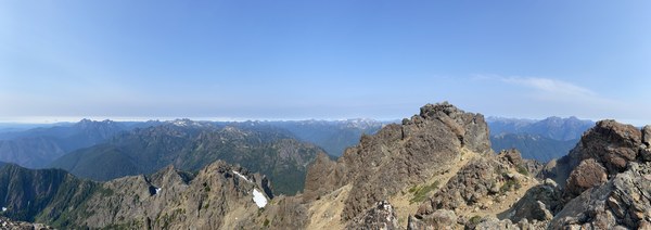
I personally enjoyed the route finding and terrain management aspects of this scramble. And the 360 summit views on the summit were beyond spectacular!

 Ambrose Zhi