Trip Report
Alpine Scramble - Red Mountain (Salmon La Sac)
Great scramble route for students. Intermittent snow from the beginning with full coverage by the time we crossed the logging road.
- Sat, May 8, 2021
- Alpine Scramble - Red Mountain (Salmon La Sac)
- Red Mountain (Salmon La Sac)
- Scrambling
- Successful
-

- Road recommended for high clearance only
-
There are 3 big patches of snow along NFD-46. Until they melt, it will be hard for lower clearance cars to make it through. We took two high-clearance cars to the TH, parking them in separate spots off the pavement. Left the rest of the cars back at the lot near the turn off from 903, just before the bridge.
We were a group of 8, consisting of 5 scramble students and 2 experienced scramblers. Initial plan was on the west side but with the snow/rain forecasted move the trip across the crest. We were rewarded with sunshine throughout the trip.
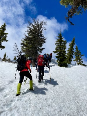
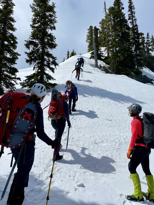
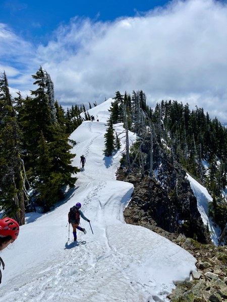
This route climbs basically straight up the mountain, the snow was intermittent from the beginning and within about the first half mile it became consistent. A mile in we crossed the road and took it a bit north so that the ridge we'd climb was slightly more gentle than going straight up from the scramble path (that was hidden under the snow mostly). Once we made our way up the ridge the trees thinned and it got steeper in a few places. It was a great place to practice making steps & performing self belays.
Most put on spikes or crampons and two in the group without either. It wasn't icy. Carried snowshoes but didn't need them. I think the snowshoes time has passed at this elevation, snow is consolidated enough to not need them anymore.
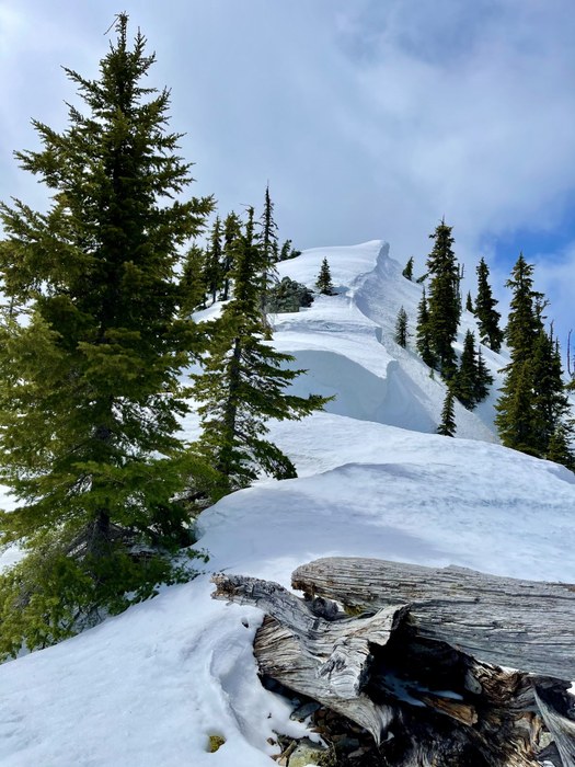
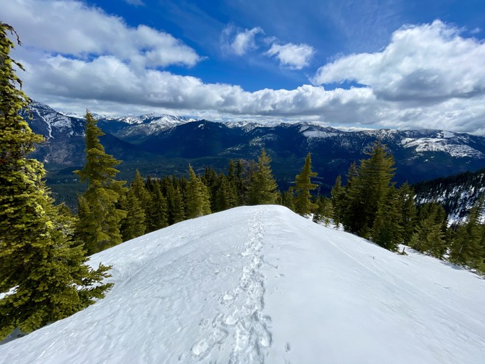
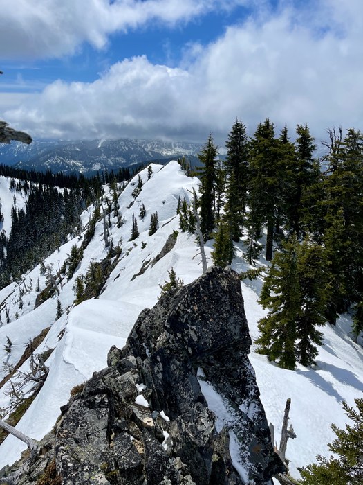
We hit the north edge of the summit ridge first and then were able to follow the ridge all the way to the middle (high point) of the summit. We headed back down the slopes from in between the middle and north point on the ridge. Everyone practiced plunge stepping in the deep snow. This route offers great opportunities for students to work on skills.
The round trip distance shows up at under 5 miles. It's a good conditioning route! ~3,300 ft elevation gain in under 2.5 miles Next time I'd like to continue following the summit south, to where the lookout used to stand. I could see a way to get down from the summit, on the west side down some rocks and on a ridge over to that area.
The driving directions are not detailed enough in the listing, Google and other mapping programs use different names for the roads. Below is what will help you get there. I'll follow up and get this submitted to Member Services.
Getting to TH: Take exit 80 from I-90 E, toward Roslyn/Suncadia, Take WA-903 N and Salmon La Sac Rd to NF-46, Turn left onto NF-46. Drive 1.5 miles to TH (if conditions allow). Driving Directions: Google Maps
 Laurel Geisbush