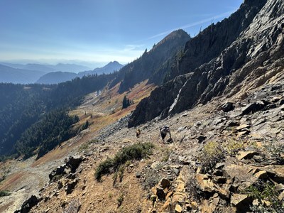
Trip Report
Alpine Scramble - Governors Ridge & Barrier Peak
Three summits, including the moderately challenging Governor's Ridge on a gorgeous Fall day.
- Sun, Oct 13, 2024
- Alpine Scramble - Governors Ridge & Barrier Peak
- Tamanos Mountain, Governors Ridge, Barrier Peak & Buell Peak
- Scrambling
- Successful
-

- Road suitable for all vehicles
-
The road to Owyhigh trailhead is all paved, of course. It was the last day in 2024 for the park White River/Sunrise entrance to be open.
The weather was sunny and dry. And actually fairly warm. Other than a spotty snow patch in one location, no snow.
The approach trail of 3.5 miles is gradual to moderate in slope. The tread is mostly in good shape with minimal trip hazards. (no photo)
The off-trail section from Owyhigh Lakes to Barrier and Buell is mostly easy class 2 scrambling with game trails and boot paths. Conditions were dry so footing was mostly good, except in steep areas that we either chossy and had loose material.
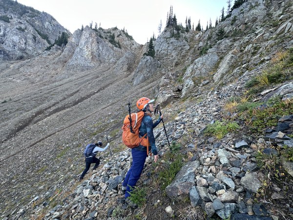
Further route details in main trip report
With our stretch of nice Fall weather expected to end soon, as well as the White River entrance to close on Monday, it was a good reason to get out and tag multiple Rainier 100 peaks in one go. Three , in fact.
Everyone arrived at Owyhigh trailhead just before 7:00AM, our scheduled meet time. We had 11 hours of daylight to play with for our 11.5 miles, 4,100' gain, three peak day.
It was dark in the trees, sunny on the mountain.
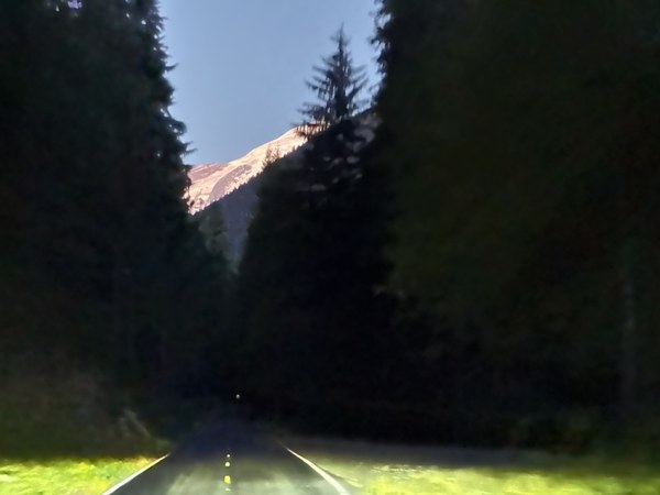
We were a group of four, and began walking around 7:15AM. It was already light enough to see. We hiked the 3.5 miles up the trail to the Owyhigh Lakes, arriving in an hour and 25 minutes. This is where we set off cross country toward the saddle between Barrier Peak and the unnamed peak to the west. I call it 'flat top".
The general path we took up to Barrier. One can also go further on trail and up the ridge (photo right) and pass on the far side of the flat top peak. That is likely a much easier, albeit slightly longer route.
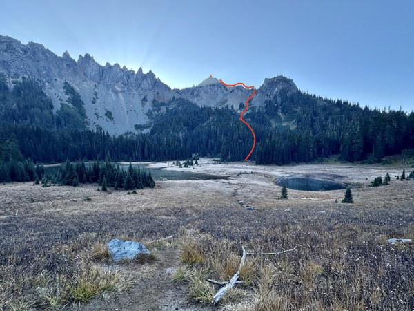
We avoided going more direct to Barrier based on beta from a fellow scrambler and stayed in the right most gully/chute. It was still rather steep with loose material. We had to be careful how we moved, either bunched up, or well out of the fall line.
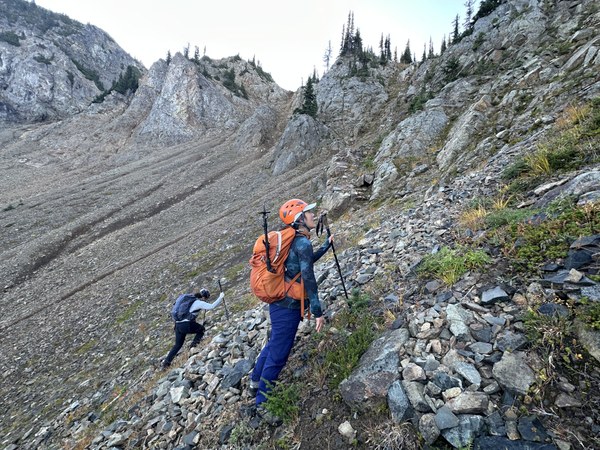
Once gaining the saddle (notch in photo below), turn left and take the ridge up to Barrier Peak. There is a reasonably easy booth path to follow.
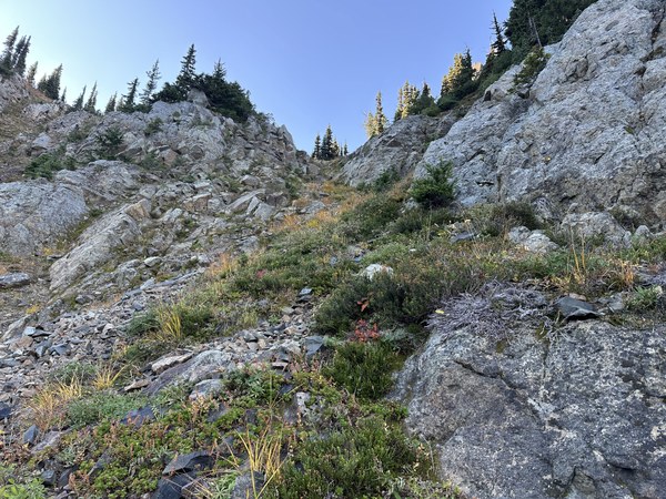
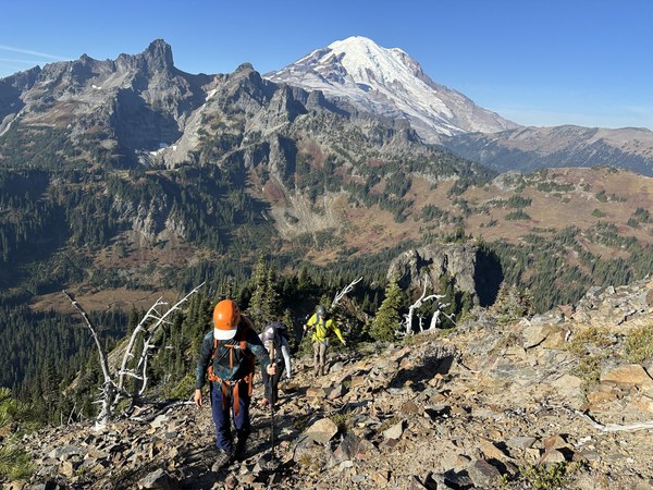
Nice views from the Summit of Barrier Peak. 10:00AM.We hadn't really felt like taking much of a break up to this point so we sat down for 20 minutes and enjoyed the views and refreshments. We were making good time.
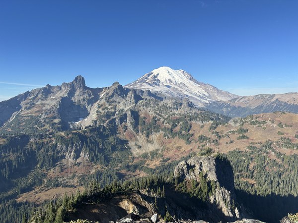
We set off for Buell, which is east down the ridge line. You can easily see your destination when it's clear. It is best to err directly on, or a little right of the ridge. We dropped a little to far right and had to climb back up. Not far. 30' vertical maybe. You'll know if you come to a cliff!
Unfortunately, no photo looking over to Buell. The summit is up through some trees to this rocky outcropping, also with views. Just under an hour to make the traverse from Barrier, arriving at 11:15AM. 4 hours and about 5.5 to 6 miles.
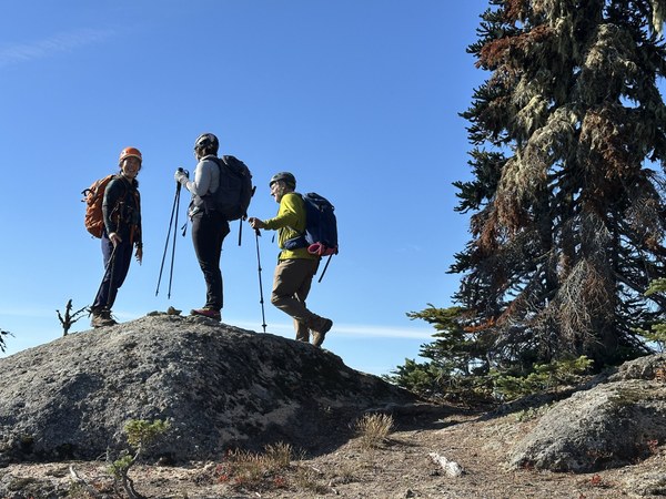
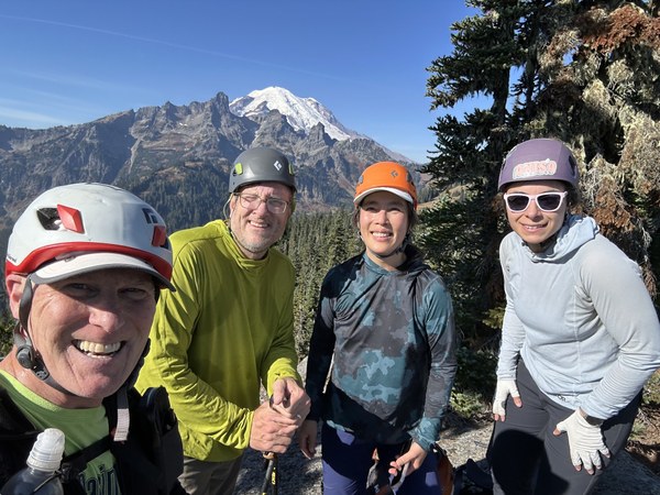
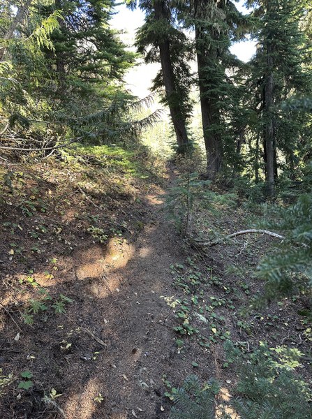
We took another longish break of abut 20 minutes and then began our way toward Governor's Ridge. The route is back to the low point in the saddle between Barrier and Buell, then drop down to the north (not too far!) and follow game trails and what looks best, contouring under a rocky cliff face. We found a superb game trail. Probably elk, but maybe aided by humans. It will take you through the trees to the opening when you get a much better view of your objective.
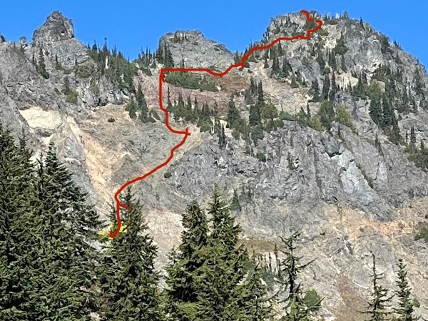
Our route is right of the prominent spire up a gully and ramp to the broad peak on the right, about the middle of the photo.
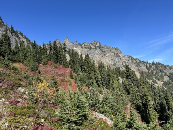
Very generalized path. I'd say the first two sections, the gully start and ramp angling right are the most challenging.
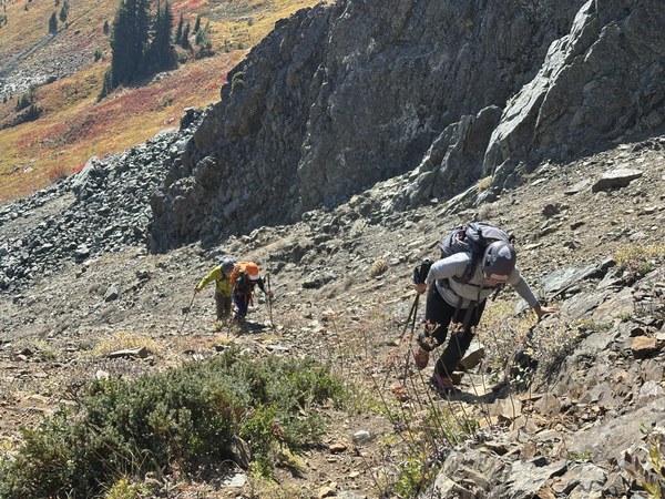
It gets easier half way up.
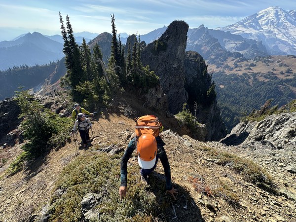
Not a lot of room on the summit, which has a couple big steps up. It's quite broken. And on the airy side! Mark signed the register for us. Behind him is one big step that none of us looked over.
We arrived at the summit at 2:00PM. 7 miles and 4,000' gain.
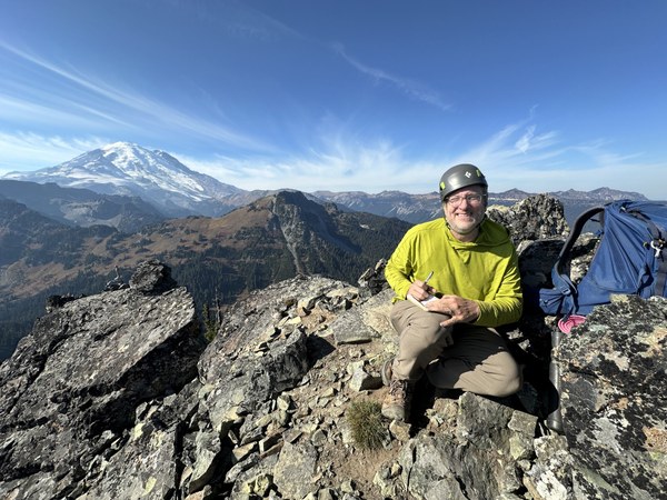
Looking down at the step from the very top. It's a very secure spot to look at the exposure (photo left, beyond the dead tree)
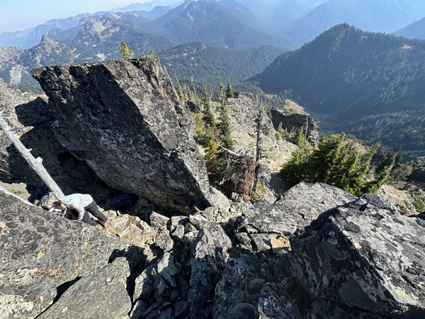
It took us an hour to ascend from the boulder field at the base and about the same to descend.
No good photos that show the traverse from the base of the Governor's Ridge gully, but we crossed the boulders, then contoured up. There is a visible boot path that leads to a notch between some spires and Barrier Peak. that's the way down, or up (if not doing the other peaks).
Looking up from well below the notch on the west side (lakes side).
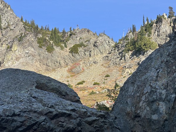
Looking back at the Governor's Ridge. We took a short break before the last 4 miles back to the car. 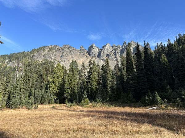
We arrived back at the trailhead at 5:45PM. Plenty of daylight. We moved pretty quickly on trail.
This is a great trip and definitely a doable combo in a day with good weather and enough daylight. The gullies and chutes contain very loose material however. The ascent from the small triangular shaped boulder field is steep and requires care to avoid sending rocks down and sliding. It's chossy with loose rocks that are easily dislodged, and has a lot of sand, kitty litter and marbles on firm chossy rock. I'd consider it the most hazardous part of this trip. More so than the airy summit.
 Ron Jones