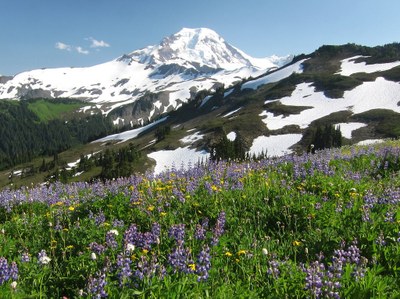
Skyline Divide
A moderate, 9 mile round trip day hike with 2,500 feet of elevation gain. The trail goes up through forests and alpine meadows to a scenic ridge line.
GETTING THERE
From I-5, Take Exit 255 for SR-542, the Mount Baker Highway. Drive East on SR-542, 0.8 miles past the Glacier Public Service center is an intersection for FR-39, and just after the intersection follow the signs to the Skyline Divide Trail and turn left onto FR-37. Follow FR-37 for 12 miles to the trailhead at the end of the road (4,350 ft).
- Suitable Activities: Day Hiking
- Seasons: July, August, September, October
- Weather: View weather forecast
- Difficulty: Moderate
- Length: 9.0 mi
- Elevation Gain: 2,500 ft
- 6,563 ft
-
Land Manager:
Mount Baker-Snoqualmie National Forest
Mount Baker Wilderness, Mount Baker Ranger District (MBSNF)
- Parking Permit Required: Northwest Forest Pass
- Recommended Party Size: 12
- Maximum Party Size: 12
- Maximum Route/Place Capacity: 12
- USGS Mt Baker
- Green Trails Mt Baker No. 13
There are no resources for this route/place. Log in and send us updates, images, or resources.
