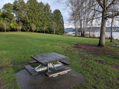
Matthews Beach & Thornton Creek
Hike along the longest and largest Seattle water shed, Thornton Creek. Marvel at the Meadowbrook Pond stormwater retention facility posing as a natural are for urban wildlife.
on the trail
Follow Thornton Creek from Matthews Beach on Lake Washington to the Knickerbocker Flood Plain. Linger at Meadowbrook Pond to figure out the flood control function while marveling at the wildlife -- so many different ducks. Several stairways featured in Walk 5 in Seattle Stairway Walks complement this up and down adventure. The main source for this enhanced route is "Hike 11" from Seattle Walks by David Williams (University of Washington Press 2017).
- Suitable Activities: Day Hiking, Urban Walking, Urban Adventure
- Seasons: Year-round
- Weather: View weather forecast
- Difficulty: Easy/Moderate
- Length: 5.4 mi
- Elevation Gain: 633 ft
- 550 ft
- Land Manager: Seattle Parks and Recreation
- Parking Permit Required: None
- Recommended Party Size: 12
- Maximum Party Size: 12
- Maximum Route/Place Capacity: 12
- Seattle City Map
This is a list of titles that represent the variations of trips you can take at this route/place. This includes side trips, extensions and peak combinations. Not seeing a title that fits your trip? Log in and send us updates, images, or resources.
- Maple Leaf & Thornton Creek Stairways
- Meadowbrook Pond and Thornton Creek
- Matthews Beach and Thornton Creek
There are no resources for this route/place. Log in and send us updates, images, or resources.
