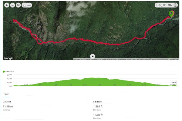
Dosewallips Road GPS Track, Distance and Elevation Particulars
This image shows the approximate route of the hike from the end of the Dosewallips Road washout to the Dosewallips National Campground. Also included is the elevation profile, ascent-descent values, and total mileage.
