Blanca Lake
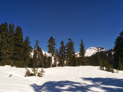
A strenuous 7.5 mile hike with 3,300 feet of elevation gain—a 2,700 foot climb to ridge top, and 600 foot descent to the lake. Hike past Virgin Lake before arriving at the cobalt-blue Blanca Lake with a front-row view of Columbia Peak, the receding Columbia Glacier, and Kyes Peak.
getting there
from Index
From US-2 at Index, turn north onto Index-Galena Road (Forest Road 63). Drive 16 miles and bear left into the Blanca Lake Trailhead (1,900 ft).
Road Closure Note: This the typical approach to Blanca Lake, but the Index-Galena Road (Forest Road 63) is flood-damaged between Milepost 6 and 7. Though not driveable, it can be walked, adding a 4 miles round trip. Keep up-to-date on the closure on the Snohomish County Index-Galena Road web page and the Mount Baker-Snoqualmie Nation Forest Index-Galena (FS Road 63) web page.
from Skykomish
Drive US-2 west of Milepost 50 and just east of Skykomish. Turn north onto Beckler Road (Forest Road 65), drive ~12.5 miles to Jack Pass and go straight to stay on Forest Road 65. Drive ~2.5 miles and turn right onto Index-Galena Road (Forest Road 63). Drive ~2 miles and bear left into the Blanca Lake Trailhead (1,900 ft).
- Suitable Activities: Day Hiking
- Seasons: June, July, August, September, October
- Weather: View weather forecast
- Difficulty: Strenuous
- Length: 7.5 mi
- Elevation Gain: 3,300 ft
- 4,600 ft
-
Land Manager:
Mount Baker-Snoqualmie National Forest
Wild Sky Wilderness, Skykomish Ranger District (MBSNF)
- Parking Permit Required: Northwest Forest Pass
- Recommended Party Size: 12
- Maximum Party Size: 12
- Maximum Route/Place Capacity: 12
- USGS Blanca Lake
- USGS Monte Cristo
There are no resources for this route/place. Log in and send us updates, images, or resources.
