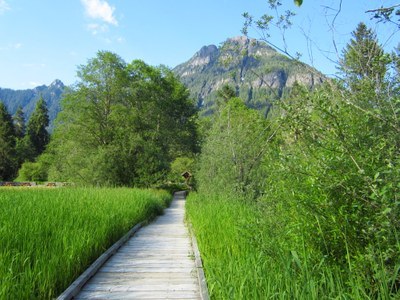
Big Four Ice Caves
An easy, 3 mile hike with 200 ft in elevation gain on a well maintained trail. The route crosses the South Fork Stillaquamish River in old growth forest with views of cascading waterfalls, mountains, and terminates at the base of a 4,000 ft sheer wall will massive avalanched snow deposits that forms caves by mid-summer.
- Suitable Activities: Day Hiking
- Seasons: Year-round, June, July, August, September, October
- Weather: View weather forecast
- View avalanche forecast.
- Difficulty: Easy
- Length: 3.0 mi
- Elevation Gain: 200 ft
- 1,900 ft
-
Land Manager:
Mount Baker-Snoqualmie National Forest
Darrington Ranger District (MBSNF)
- Parking Permit Required: Northwest Forest Pass
- Recommended Party Size: 12
- Maximum Party Size: 12
- Maximum Route/Place Capacity: 12
- Green Trails Silverton No. 110
There are no resources for this route/place. Log in and send us updates, images, or resources.
