Trip Report
Basic Alpine Climb - Sloan Peak/Corkscrew Route
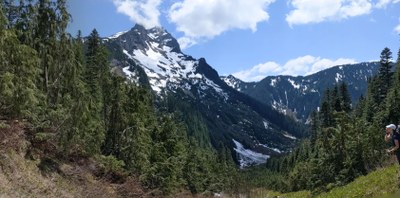
Bedal Creek Approach, route in excellent condition, minimal snow after exiting glacier.
- Fri, Jun 2, 2023 — Sat, Jun 3, 2023
- Basic Alpine Climb - Sloan Peak/Corkscrew Route
- Sloan Peak/Corkscrew Route
- Climbing
- Successful
-

- Road recommended for high clearance only
As reported from the Darrington Ranger station, FS 4096 conditions are “washed out to the point of jumps”. There was a Subaru Forester who made the journey to the trailhead and we had no issues. The road does have narrowing shrubbery and one small section that does require higher clearance.
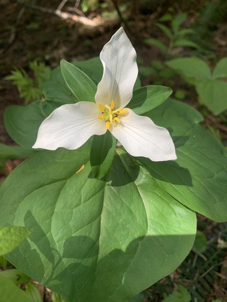
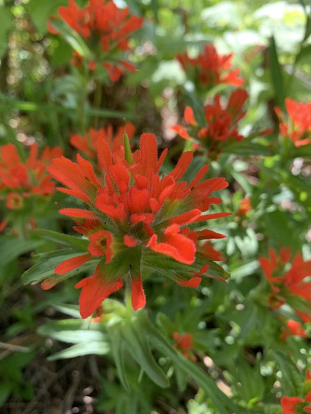
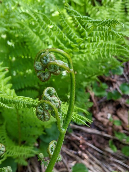
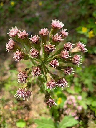
We started off trail, following FS 4096, quickly realizing our mistake we headed up to regain with the trail. The actual trail entrance is about 50 ft before the end of the road and marked with orange flags. The lower trail is overall easy to follow. We did some unnecessary bushwacking through slide alder, again regaining the trail relatively quickly. The woods were colorful with trillium, paintbrush and butterbur. At 3,500 ft the trail turns up, with various highs and lows of pink flags. This portion is steep and mostly easy to follow.
A boulder field invites you to an alpine meadow, covered in glacier lilies. We set up camp just above the lake that was beginning to melt out (5,378 Ft). Many places to camp with views of Glacier, Bedal and Sloan. Running water is everywhere. Bugs were not an issue. We ate, laughed and retired well before sunset.
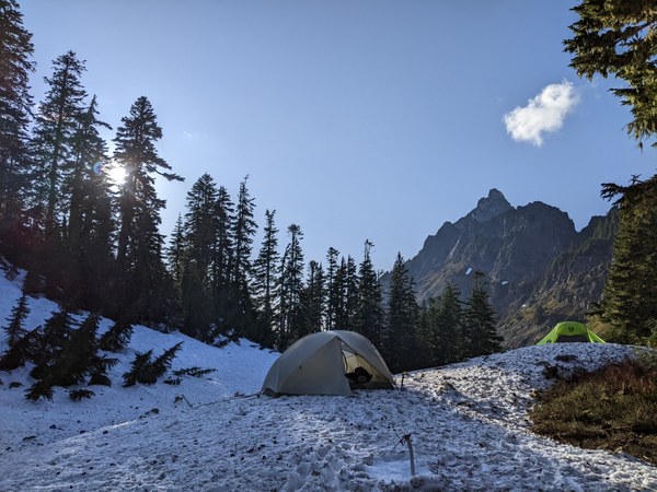
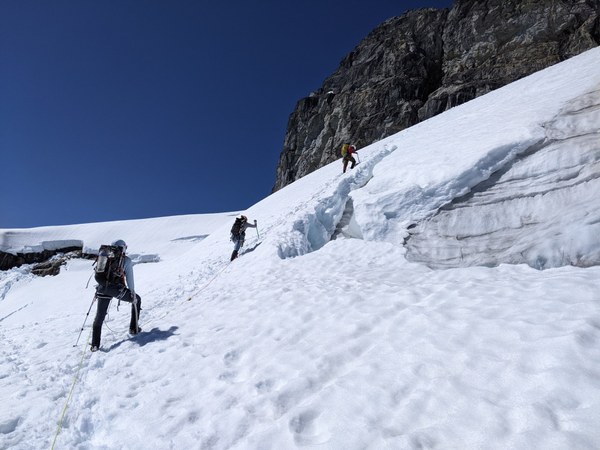
We leisurely enjoyed the morning views, dried some gear in the morning sun before setting out from camp at 8:15 AM. At 7032 ft we roped up for the glacier. We took the low traverse around several opened crevasses. Once on rock we were able to avoid all snow. Rock is class 3 with some low class 4 moves. Once on summit we gawked at the views, shared a poem found in the trail register, gummy worms and smiles before heading down.
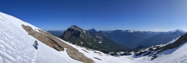
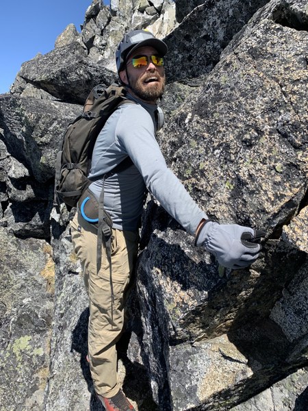
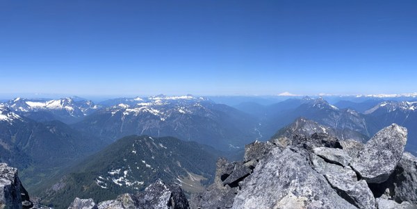
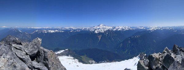
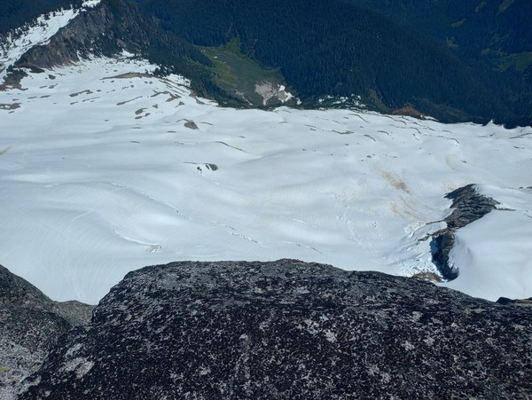
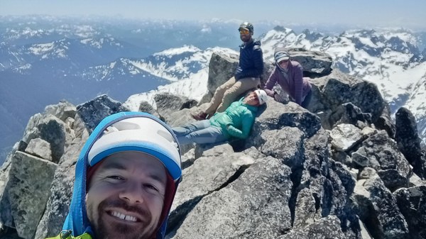
The descent was much like the ascent. We did lose the trail a few times but reconnected with a general, climbers right bearing. We made it to Darrington for burgers and milkshakes just before closing at 8:00 PM.
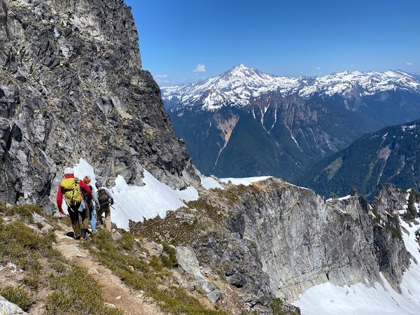
Our rough times were: 3:10 car to camp, 3:30 camp to summit, 2.30 summit to camp, 1.45 camp to cars. This route is doable in a day and we enjoyed camping and a leisurely two day climb.
Total of 9.30 miles and 5107 ft gain.
 Ashley Carter