Trip Report
CHS 1 Hike - Grand Ridge Park: Coal Mine Loop
A nice forested loop hike in Issaquah. Backup destination for route further up I-90 experiencing bad weather.
- Tue, Apr 5, 2022
- CHS 1 Hike - Grand Ridge Park: Coal Mine Loop
- Grand Ridge Park (Snoqualmie)
- Day Hiking
- Successful
-

- Road suitable for all vehicles
-
Route in good condition throughout.
This trip was originally planned for the Pratt River Connector Trail along the Middle Fork Road near North Bend, but a late winter storm resulted in a forecast that included high winds, freezing temperatures, and snow at that location, so we switched to this lower-elevation backup route at the suggestion of the co-leader, who had hiked the route the previous week.

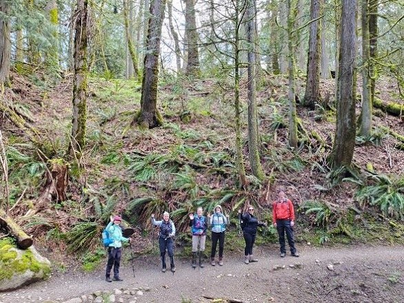
Because we were a large group of 8 and would not be carpooling, we met along the service road on the south side of I-90 and walked under the freeway to the trailhead on the north side, so as not to monopolize the tiny trailhead parking lot. Our route was a lollipop: Issaquah-Preston Trail to East Fork Trail to the Coal Mine Loop trail, where we did the loop clockwise before returning the way we came in.

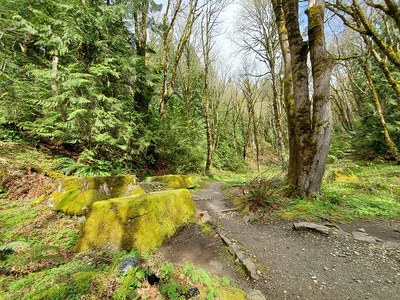
Trail conditions were very good except for a few small blowdowns, most of which we moved out the way ourselves. There were a few very minor muddy spots, not bad at all considering the storm that had passed through the night before. This being a midweek trip, we saw only two other people along the way.
The winter storm abated just as we started our hike, and we were treated to full sun and blue skies during the second half of our walk.

Our distance and elevation were 6.3 miles and 1150', both just slightly above the upper limit for an April CHS 1 hike.
 David Bradley