Trip Report
Day Hike - Squaxin Park
One mile loop with beach walk, suitable for small children.
- Sun, Nov 26, 2023
- Day Hike - Squaxin Park
- Squaxin Park
- Family & Day Hiking
- Successful
-

- Road suitable for all vehicles
-
The paths in this city park are generally wide and smooth. Portions of this loop were on the park roads. Footing is solid on gravel and sand. Deep mud can be avoided. A stroller might not do well on the beach walk. The most interesting part of this hike is the beach walk in the inter-tidal zone, between the high and low water lines. It is essential to take the tides into consideration in choosing a time and date for this hike. We started shortly after 10:00 a.m. Predicted low water was at 10:38 a.m. Our predicted height of tide at low water was 6.9 feet above the low tide base line (mean lower low water). But it was about 8 feet lower than the predicted high tide that day, leaving a lot of uncovered beach below the high water line.
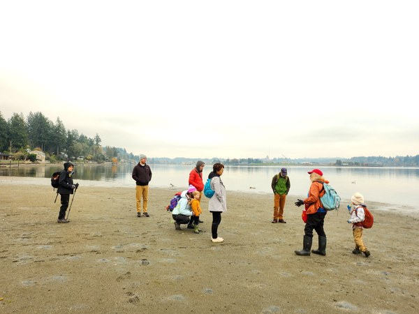
Lots of bare beach at 6.9' height of tide.
Here is a link to the National Oceanographic and Atmospheric Administration (NOAA, pronounced like the guy with the big boat) tidal predictions for Budd Inlet:https://tidesandcurrents.noaa.gov/noaatidepredictions.html?id=9446807
Squaxin Park was the site of a mission and school established by French Catholic priests, at the request of French Canadian employees of the Hudson Bay Company, from 1848 to 1860. For hundreds of years before that, it was the site of a permanent settlement of the Squaxin tribe, who practiced salmon fishing and shellfish harvesting in Budd Inlet. The area and the park was called “Priest Point” on account of the mission of twelve years’ duration. The park was recently re-named “Squaxin Park” in acknowledgment of centuries of Squaxin habitation.
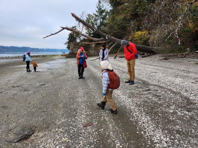
Our hike was planned mostly as a beach walk suitable for small children and interesting for adults. The chosen route included the inter-tidal shoreline from the mouth of Ellis Creek on the north, south along the beach to Mission Creek, near the south boundary of the park, and then a trail through the woods to the playground. Consulting the NOAA tidal predictions for Budd Inlet, we selected a date with a low tide at a convenient time for a hike. We chose Sunday, 11/26, with a low tide predicted at 10:38 a.m., and scheduled our meet-up time in the park for 10:00 a.m. Denise Livingston had registered as assistant leader, and Rob Schanz served as the mentoring co-leader. Mike Forsyth was the mentored leader, in the process of becoming a youth and family hike leader.
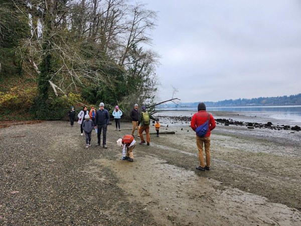
We met in the parking area across from Shelter 2, near where two beach access trails meet the park road. Our group of 12 headed down the trail to the overlook on the south shore of Ellis Cove. We stepped down onto the sand and gravel bar, bare at low tide and extending most of the way across the mouth of the cove. The shore of Ellis Cove was the site of a permanent Squaxin settlement until the late 1850’s, supplied with fresh water by Ellis Creek.
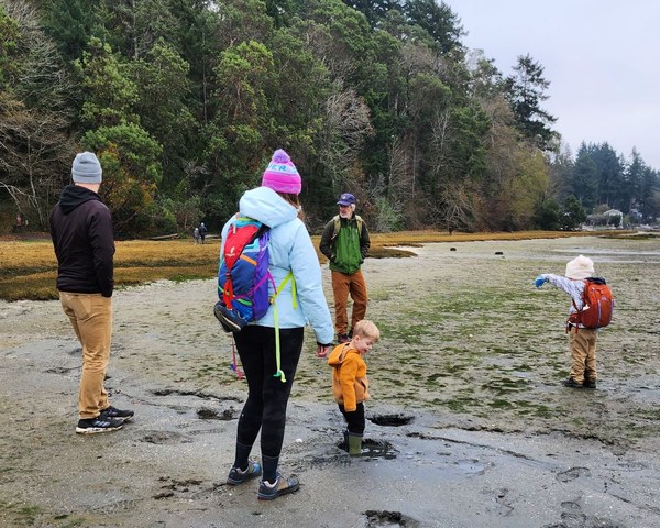
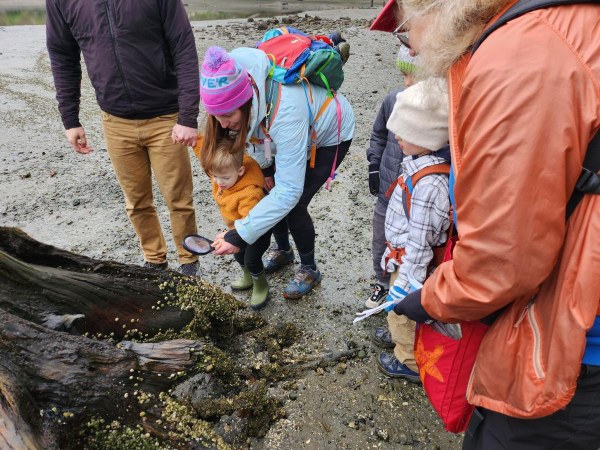
The tide was low enough for us to walk around the corner from Ellis Cove to the shore of Budd Inlet, avoiding soft mud flats and getting not much more than the soles of our boots and shoes wet. The retreating waters left behind barnacles growing on rocks, mussel shells and a stump. The sandy areas were dotted with many siphon holes, below each of which was a clam. Harvesting is not allowed because the clams are contaminated and unsafe to eat, so they are present in abundance. Non-humans still eat the clams, however. We observed gulls dropping clams from mid-air to break their shells, and in the water just off the shore, a pair of ducks was frequently dipping their heads underwater, no doubt probing and digging the bottom with their beaks. We found several crab claws and empty crab shells, likely the leftovers from dining birds.
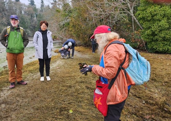
Towards shore from the sand and gravel bottom was a band of salt marsh. Most of it was covered in pickleweed, a salt-tolerant succulent which can survive being dry or submerged for hours at a time twice a day. Among the pickleweed, we found clumps of sea lettuce and wrack, deposited by the small waves. Wendy Eklund, a beach naturalist of long experience, including with The Mountaineers summer day camp, the Estuarium and South Sound Green, identified the vegetation for us in the salt marsh and above the usual high water mark, including a description of the Madrona tree.
We arrived at Mission Creek, on the south edge of the park property. The Catholic mission was built in this area. Later, docks were built to receive boatloads of weekend picnickers from Olympia. They long since fell into disuse, and a few stumpy pilings remain today. We took the short trail up from the beach, pausing at an overlook, noting a lumber ship loading at the port. We ended at the playground, set up a camp stove, and in a few minutes were enjoying hot chocolate, chai latte, red velvet cupcakes and ginger bread people.
 Mike Forsyth