Trip Report
Basic Glacier Climb - Mount Olympus/Blue Glacier
Successful summit of Mt Olympus in 4 days. Route is in a great shape, but moat is forming at the base of summit block and may cause some access issues in the next weeks.
- Fri, Jul 8, 2022 — Mon, Jul 11, 2022
- Basic Glacier Climb - Mount Olympus/Blue Glacier
- Mount Olympus/Blue Glacier
- Climbing
- Successful
-

- Road suitable for all vehicles
-
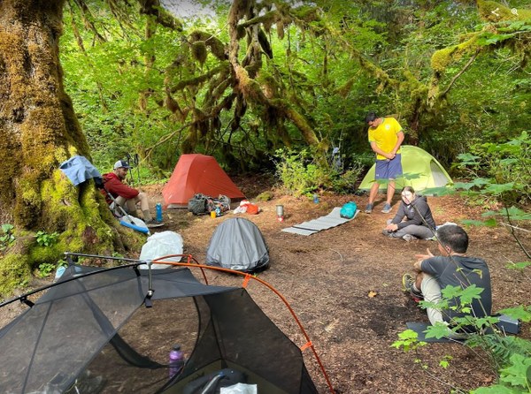
Day 1: Hoh River Visitor Center to Lewis Meadows. Hoh River trail was very muddy and slippery. All water crossing has logs that can be used to cross, however some of them are tricky to use. Lots of camping spots at Lewis Meadows, but bear wire has only two carabiners to attach food, so you may want to bring additional non-locker to attach your bags to it. Mosquitos are already present and annoying.
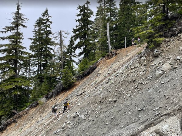
Day 2: Lewis Meadows to Glacier Meadows. Trail is in a good shape. Ladder over the landside in a great shape as well (rangers replaced it last summer), there is also a rope next to it that we used to descend.
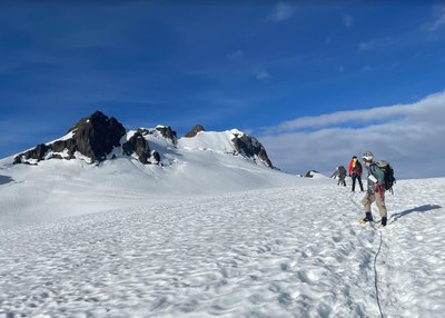
Day 3: Summit push. Glacier is in a great shape - blue ice at the bottom, some crevasses opening on the Blue Glacier with one sketchy snow bridge (on a way back one rope team decided to go around it instead of crossing it). Water source at about 6200ft. Bergshrund already open (no surprise here), but Crystal Pass route works perfectly. There is a moat forming at the bottom of the summit block that may cause access problems in the coming weeks. 30m rappel took us from summit to the bottom of summit block with 1-2 meters to spare (did not use intermediate station).
Day 4: Elk Lake to cars. Trail dried a bit since Friday, so muddiness may not be that big issue if the sunny weather stays.
Day 1: We arrived at the Hoh Visitor Center at 9.30-10am and the parking lot was already getting full (we literally took last available spots). Would not recommend starting later due to that. Masks are required to enter the Visitor Center, but the ranger there does not seem to have the latest beta on the route (she gave me 2-weeks old information which I already knew from searching for beta online).
After usual faffing with backpacks and gear, we started heading out around 10.45am. The Hoh River trail is very muddy and therefore slippery. Hikers created paths around the biggest mud sections, which is probably not the greatest for the environment, but the alternative was to sink up to ankles deep in the mud. We took breaks every 1-2 hours. There were plenty of water sources and 2-3 big water crossings. They all have log crossings (the first one having the trickiest access). Some hikers who forded the water said it was 6-10 inches deep.
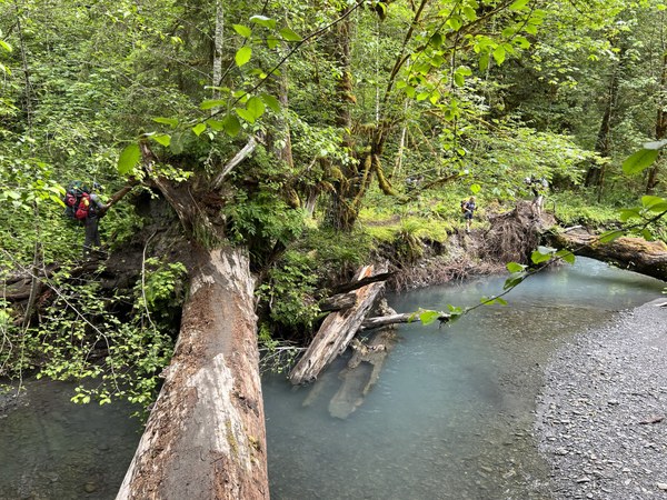
We arrived at Lewis Meadows around 3.30-4pm. The mosquitoes were already present, but not biting (yet - it changed to worse as the evening progressed). Set up the camp, filtered water, ate dinner and had a bit of a downtime to kill as well. We got visited by a deer and a bunny in the camp. As mentioned in the route description, bear wire have only two "food hangers" right now (last year it had 4), so space is tight. We used our non-lockers to attach our bags to the clippers.
Day 2: We left the camp around 8am. The first couple miles are still flat, but the landscape slowly changes from rainforest into fir forest. After crossing Hoh River, we started gaining elevation as well. With 40lb packs, it wasn't the most pleasant ascents I have done, but knowing it is no more than Mt Si helps :) We got to the landslide and the ladder around 12, put on our helmets and descended. The rangers replaced the ladder and the rope last year, so it was in the perfect shape. Most of us used the rope as a handline instead of ladder to descend. It is dynamic rope, so it creates a bit of a bounce, especially at the bottom.
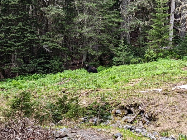
We got to Glacier Meadows around 1pm and found most of the camp spots taken by climbers that were still on the mountain. The plan was to take an optional trip to scout the moraine descend for the next day, but we decided to use the beta from returning climbers instead and save the energy for the summit day. Around 2.30pm the Mazamas group came back and freed the group site we were waiting for. They also gave us good beta on glacier and summit block. We got early dinner and went to bed around 6pm. Half an hour later, we heard other campers shouting "Bear! Bear right next to your camp!". Turned out there was a black bear that was going down the meadow and passed our campsite maybe by 10 feet distance. Jacob and I got out of our tents to see it. Fortunately for everyone, Mr Bear was minding his own business and was way more interested in all juicy greenery on the meadows than the people who were starring at him and taking pictures.
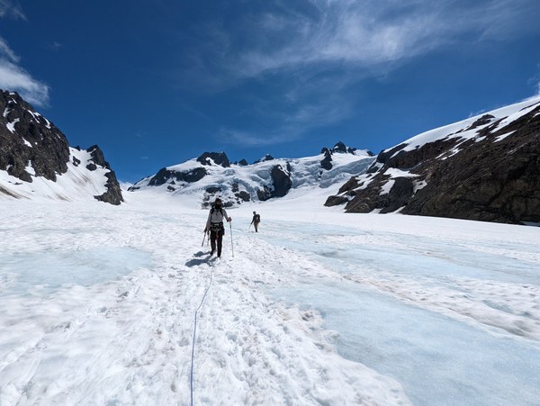
Day 3: We woke up at 2.30am and left the camp at 3.30am. The weather forecast had some chances of the whiteout, but we got a clear sky and no issues with visibility. On our way up we passed the group that was putting crampons for a small snow patch, but we decided it was soft enough that we can cross it just in boots. Definitely a correct decision since rest of the trail was mostly on rock. We got to the top of the morraine around 4am. The descent was slightly different than what I remembered from last year and still required some route finding, but definitely the principle I heard from others applied: go further on it that you think you should. There is a faint bootpath for roughly half way down and then it branches into several options. For most of the way it is a traversing descent so we didn't have to cross it separately, which saved us a lot of time. We got to the glacier at around 4.40am and roped up. That initial section of glacier is really cold, because mountains around create kind of a wind tunnel. There are some blue ice sections on the lower part of the glacier and some crevasses opening up, but most of them require just stepping over. There was one with a snow bridge that was getting a bit sketchy, but in the morning it was not an issue.
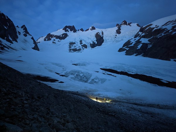
We took our first break at around 6200ft where there is a water source. It was also time to put on sunglasses and apply sunscreen. The rest of ascent up Snow Dome went uneventful - there was a bootpath throughout all our time on the glacier so navigation was not an issue. The bergshrund was already open (not a surprise) so we took the route through Crystal Pass. Climb to the false summit was uneventful as well. At that moment we got already above the lower level of clouds, so we had (my favorite) views of sea of clouds below us while climbing. We took a nice break at the false summit and then ascended towards the summit block. The snow slope looks pretty intimidating from the false summit, but in fact it is not hard at all.
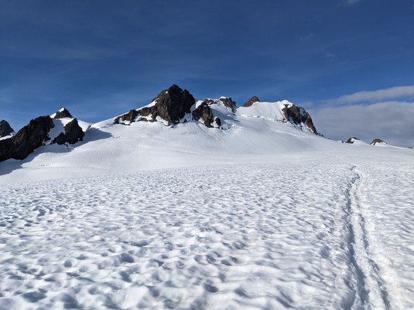
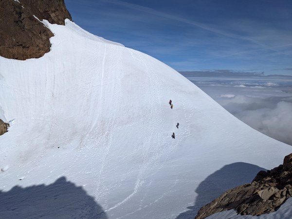
We had two climbers in front of us, who were also going up North Face route. Once the second one took off, we started preparing for our ascent. There is a moat forming at the bottom of summit block, but there is also pretty solid snow bridge over it that we used to cross. Once it is gone, the access to the rock may become more difficult. On our way down Rodrigo punched through it, so it may not last long. The bottom of the climb (the first 5ft or so) is still snow / ice covered which caused some problems (especially that I was wearing rock shoes and discovered really quickly they are not the best for kicking steps :) As many reports state, the route easy up the higher you go and I agree with that assessment. I carried a #2 - #.2 rack of cams and it was more than enough to protect the route. There is a spot for #3 is some sections, but it is definitely not necessary and not bringing it is a good weight saving idea. After reaching the top anchor (a webbing and a cordelette wrapped around rock and 7(!) rap rings), I have set up a fixed line and Anita, Rodrigo and Jacob climbed up while being prussiked to it. Then I belayed John up from the top.
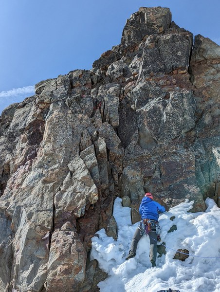
We have spent quite a while on the summit, allowing two parties to rappel before us. We tied together the two ropes that we had (50m and 30m) and 30m rappel brought us back to the bottom of the climb with couple meters to spare.
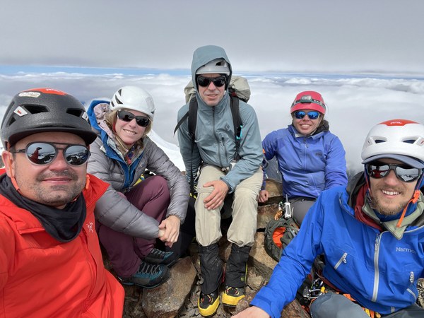
The rest of the descent was again uneventful. Most of us decided to take off our crampons on the false summit. It was a good idea except for a short section near the false summit, which was pretty icy and required some more care. We got back to Glacier Meadows camp at 4.30pm, packed our stuff and descended to Elk Lake.
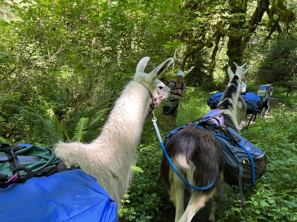
Day 4: Woke up at 6.30am, packed camp and went down towards the cars. Its the most boring part of the climb in my opinion - 13 miles of almost flat trail, with heavy backpacks and body tired after already 3 days in the backcountry. The bit of "entertainment" happened at 5 Mile campground where we run into 3 llamas and their handler and a young man who just caught up with them saying that llama injured a hiker at mile 3. Turned out the lady had some unfortunate interaction with the 4th llama (which was there, tied into a tree), fell on a narrow bridge and most likely broke her leg. When we got there, we offered some care (food, water, help with carrying her to the shaded area), but she didn't want any of that. We made sure the 911 was already called (by the time we got there apparently it was already called twice) and someone was going back to Visitor Center to notify the rangers, so we left her with her friends and continue down. We haven't met any rescuers going up the trail, so after getting to the cars, Jacob talked to the rangers at the Visitor Center (who said they are aware of the accident already) and gave them all the details we were aware of. We did a short debrief at the cars and then started our drive back home. On the drive out, we got passed by Forks Ambulance, which, presumably, was going for the injured hiker.
This was my first mentored glacier climb. Many thanks to John Angulo for stepping up to be my mentor for this trip!
 Magda Bojarska