Trip Report
Basic Snowshoe - Wenatchee Crest
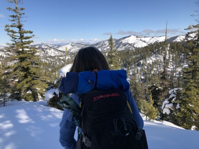
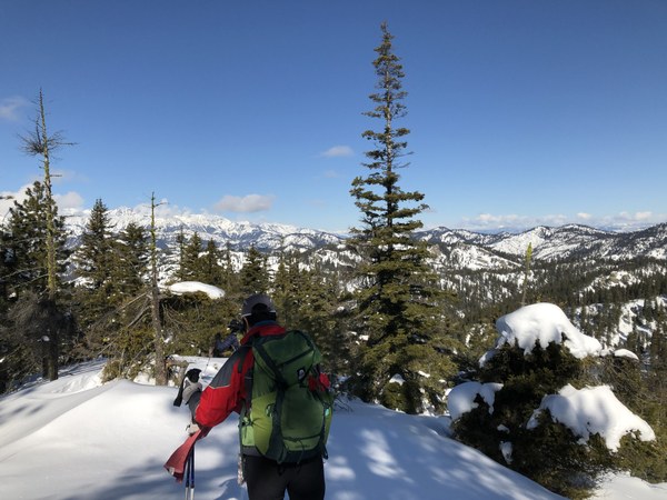
A great group to travel with. The route on the ridge has no beaten path- we enjoyed making our trail, and venturing through varied forest, with frequent,broad views of the surrounding snow covered ridges.
- Sat, Mar 9, 2019
- Basic Snowshoe - Wenatchee Crest
- Wenatchee Crest
- Snowshoeing
- Successful
-

- Road suitable for all vehicles
-
The ridge route has no established trail. Our travel was pretty much set by staying on the wide ridge, and picking our route through the open trees. More than 90% of the trip i
 nvolved breaking trail through recent accumulation of 8-9", and occasional deeper pillow of wind blown snow. A 1" crust, that could be isolated and picked up on 10"x10" slabs was found in some sun exposed areas. We also saw surface hoar frost frequently on the route.
 The up and down route is challenging, tracking up pitches of 25 or so degrees at times was a good workout. A rhythm of gaining elevation, shedding some, and gaining again.
At the park & ride there was a large gathering of Mountaineers- Richard Burt was leading trip with Windy Knob- also at Blewett Pass!
Driving over the pass was clear, roads clear all the way. Driving into the rising sun,had the driver pulling down the shade! One participant coming from Ellensburg was met at the junction of Highway 970 from Cle Elum and Highway n97 from Ellensburg. We arrived about 9:20 to find parking available in the small lot on the north side of the rode for this TH. We hit the trail at 9:40 am.
The group worked on discerning wind blown vs wind deposited pillows in breaking our trail. We did find ourselves on occasion up to the knees on occasion (harder work), but generally were successful on the uphill choosing efficient routes to switchback on. On the downhill, some found areas to get some plunge steps in!
We lunched just short of Cairn Hill (about .2 mi) at a knob / rock pile excellent View Point at 12:40 pm -4700' per my GPS track. Based on turnaround time, we headed back down from there. The group decided to follow our up and down track back to about .5 miles from the TH, and followed the very well beaten road track back from there, arriving at 2:30 pm.
My GPS tracked the trip at 4.8 miles, 1300 ft of total elevation gain, 1.76 mph avg moving,
 Jimmy Klansnic