Trip Report
Sloan Peak/Corkscrew Route
River crossings, glaciers, crazy-heather-bench-trail-thing, exposed bear-hug scramble move. A true alpine experience
- Sat, Jul 21, 2018
- Sloan Peak/Corkscrew Route
- Climbing
- Successful
-

- Road suitable for all vehicles
-
Route is in good shape. We took the N Sauk / Cougar Creek Approach
- Road in is fine. There is a short section which is slightly washed out, but lots of cars were at the trailhead. Parking is somewhat limited.
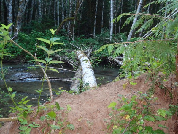
- There are three river crossings at the start. All of them have suitable logs to cross on
- The trail is pretty obvious, but there are a couple of sections that are brushy where it's easy to lose the trail. If you do lose it stop; look around; you'll find it.
- There's a wonderful campsite at about 5000 feet on a heather bench if doing this as an overnight
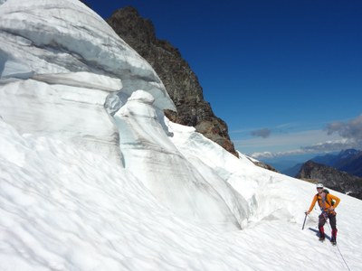
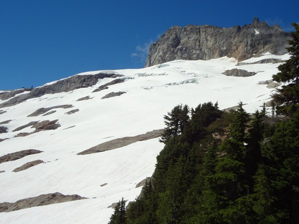
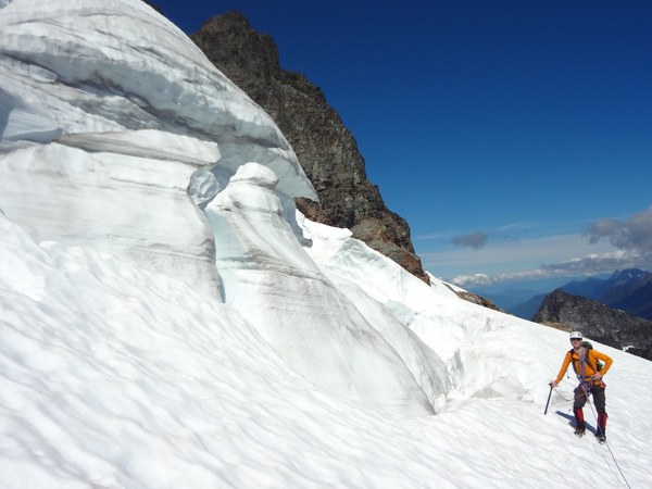
- As of 7/21/18 the glacier is in great shape. No problem getting on or off. There is a steep traverse above some bad run-out. With students, setting pickets may be advisable in this section
- Route finding on the upper portion is straightforward and all class 2/3. Anything higher and you went the wrong way (easy to do because there are some well-traveled trails that go the wrong way)
- With a group of two at a moderate pace we completed the trip car to car in 10 hours
There's nothing particularly technical about this climb, but WOW! It's got a little bit of everything and provides a truly alpine experience. For those new to mountaineering in the Cascades, this climb gives you a taste of what you're going see - river crossings, bushwhacking, route-finding, glaciers, rock scrambling to the summit, and stellar views - all in one very manageable climb.
Leave the trailhead and within a half mile or so you'll come to the river. Facing the river, the trail heads off to the left for about 100 yards to a log crossing.
After crossing the first log, angle through woods to the left to a second log jam. The second log jam will deposit you either on a left bank or a right bank. We saw flagging clearly visible on the left so went that way only to find we should have chosen the right bank. Once we were on the right bank, we saw there was flagging there too.
After the second crossing, angle to your left once again through a short bit of trees and brush to find the third crossing. Once across the third logjam, angle left across the wide sandy riverbed to the woods. Flagging marked where the trail took off. The trail goes through the woods parallel to the river upstream for a ways before turning right uphill.
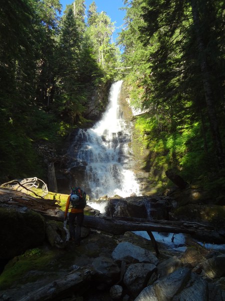
Head uphill for a short way to an old roadbed. Go left on the roadbed for maybe 50 yards to where the trail heads uphill on the right for the long climb up. At the waterfall, cross on a log and take a left (downhill) across another log to find the trail going into the trees. We lost the trail here and found it later - so look around slightly downstream after crossing at the waterfall and you'll find it.
At about 4800 feet you'll arrive at an open basin. There are cairns here that make it seem like you should go to climber's left. Ignore these. Go to climbers right up the stream for about 10-15 yards and you'll see the trail taking off to the left.
At 5000' there is a great campsite on a heather bench with ample water.
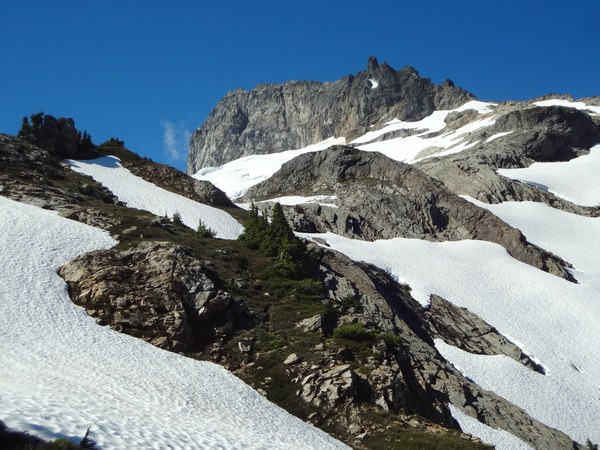
From camp follow a boot path up and to the left, and then to the right to gain the ridge. Ascend the ridge a short way to the toe of the glacier. Ascend/traverse glacier as crevasses permit to its top. I would advise staying away from the wall if possible. If not possible, move fast. We saw significant rockfall that easily would have been fatal if we had been near the cliff.
At the end of the glacier, drop your glacier kit and head up a nice trail with great views. The trail curls around the mountain to a wide gully. Ascend the gully up it's right side. The right side is a narrow dirty gully (a gully in a gully) that terminates at the ridge top. Exit left at the top of the dirty gully and ascend 15 feet of class three rock (not too exposed and lots of great hands and feet).
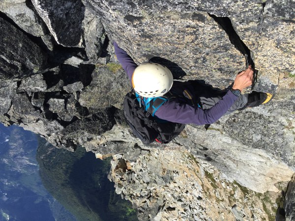
Ascend a gentle heather slope and traverse left to another wide gully. Ascend this gully, eventually topping out on it's right side at the ridge crest. Traverse left just below the ridge crest. There is one moderately exposed move where you need to hug a rock and step around it. It could be intimidating for some, but the there are bomber hands on both sides of the rock and good feet as well.
The final 15 feet or so to the summit are class three on good stable rock.
First river crossing
Waterfall
View up the ridge from camp
Sloan Glacier
Serac on the Sloan Glacier
Heather benches
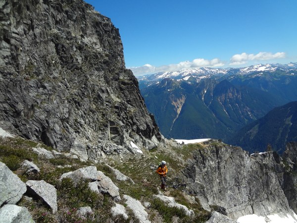
First (dirty) gully. Exit to the left at its top over a couple of steep moves
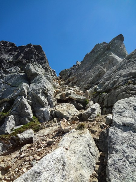
Second wide gully. traverse to the left side at the base and then ascend and angle right to the top
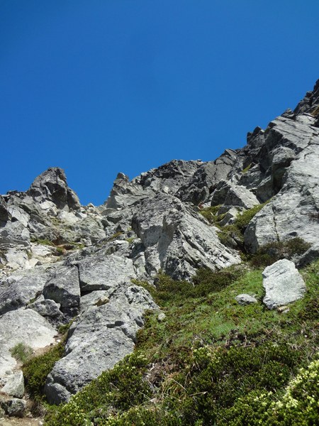
Summit ridge from the top of the second gully
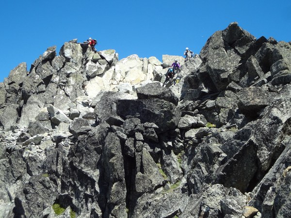
The bear hug step. This picture makes it look way more exposed than it really is
 colin corbin