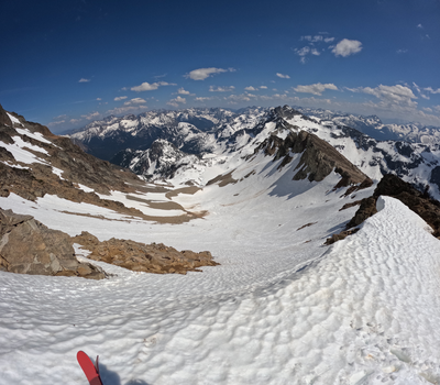
Trip Report
Black Peak Skimo
A plan for a longer ski tour turned into a scramble of Black Peak with skis for transport on a gorgeous Spring day.
- Fri, May 19, 2023
- Backcountry Ski/Snowboard - Black Peak/South Ridge
- Black Peak/South Ridge
- Backcountry Skiing
- Successful
-

- Road suitable for all vehicles
-
We were probably 1-2 weeks late in attempting this route this year. Volken lists the route as "April-June", and there are successful trip reports from various years (including one from May 11 this year), some as late as the end of May. The spate of warm weather in May was obvious in the snowpack.
We had good skinning across the snowed-in parking lot to the TH, but once we were in the trees, we found only intermittent, thin snow and tedious travel conditions. We took an ascent track to Heather Pass (the col above Ann Lake) that used the Heather Lake Trail, but a route closer to Volken's suggestion of the Ann Lake Trail might have provided slightly better travel. None of the lakes (Ann, Lewis, Wing) appeared suitable for crossing.
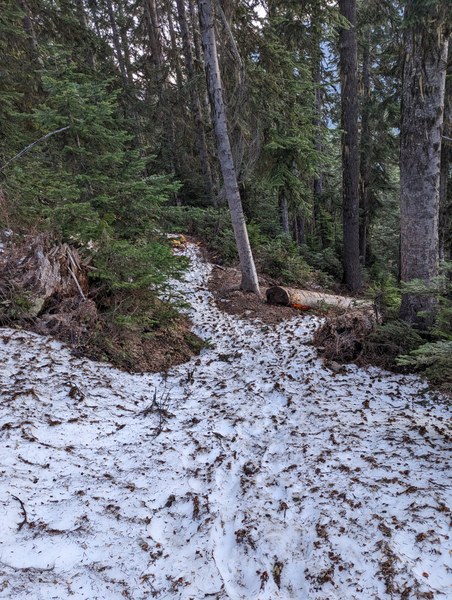
To further reinforce the recent warmth, we saw widespread evidence of a variety of avalanche activity, including a slab avalanche that produced a significant crown and propagated widely on a layer close to the ground, a powerful wet-loose slide that dumped a huge pile of trees in Ann Lake, and hunks of fallen cornices the size of a van.
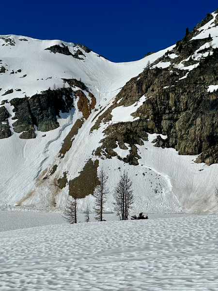
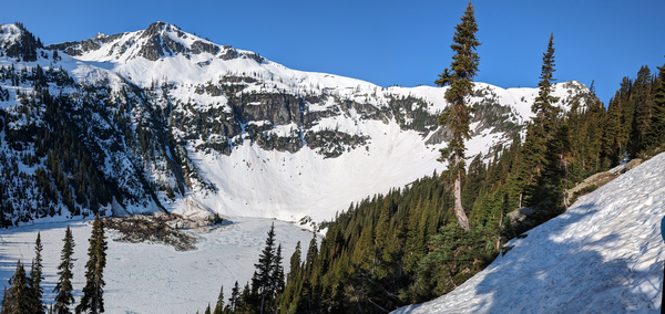
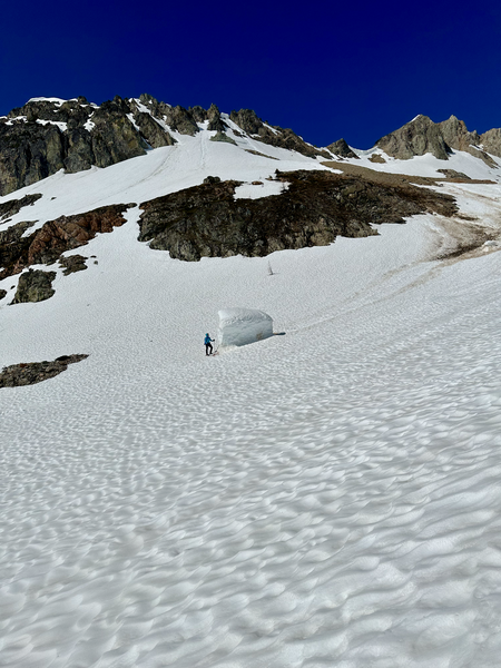
(Some photos here from Barton Place.)
We met at 5:30AM at the Rainy Pass TH and started skinning up through the forest. It was rough going, and we ended up carrying our skis several times on the way up to Heather Pass on the col above Ann Lake. (The party all got plenty of practice with the backpack strap ski carry through the day; see, e.g., https://youtu.be/Im-2XPCoTDM?t=54.) There we also a few times when we elected not to carry our skis...
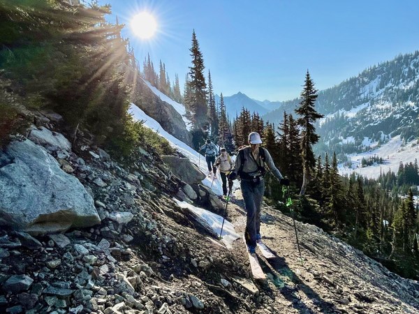
We ripped skins at the Heather Pass col and skied a high traverse that brought us to the edge of Lewis Lake. From there, we skinned along the summer climber's trail and gained the col on the South ridge of Black Peak at roughly 8100' with a brief boot at the very top.
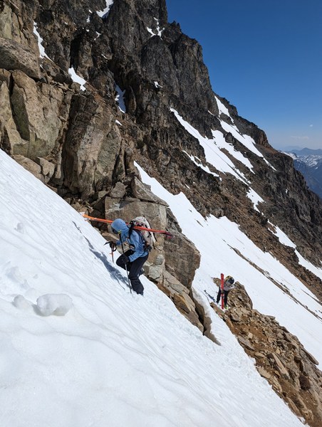
At the col, we discussed snow conditions and what we could see of the S face of Black Peak and changed our trip plan to scrambling as much of Black Peak as possible in our current footwear — ski boots — and then reversing our ascent route. (Descending the S face down to Woody Creek would have brought us down to ~5800', and we'd already experienced very soft snow nearly 1000' higher than that at Wing Lake.)
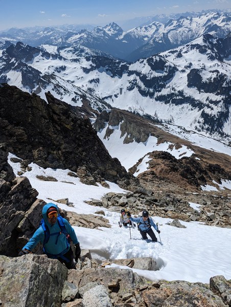
We scrambled up the South ridge, mixing dry segments of cairn-marked climber's trail, steep fingers of soft snow, and an occasional fifth-class move. (From Volken's description and some reports, it seems that if the S face was truly "in", 600' or so of this above the col would all have been snow-covered and skiable.)
Once just below the summit block, it took some exploring and pondering to find a way to get on top, but we located a usable path via a seam in the rock at the top of a snow ramp. Two of the party members gave it a (successful) go in their ski boots, while two other party members elected to save it for another day with different footwear.
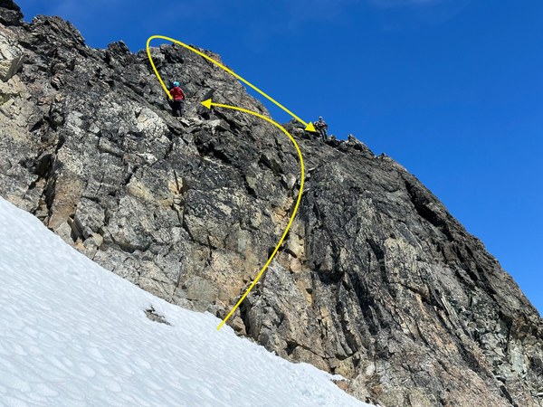
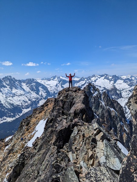
We scrambled back down to our skis, taking the opportunity to filter some of the running water along the way, and prepared for our ski out. The first 1000' down from the col was great skiing on soft, textured snow, and then it got progressively softer as we descended.
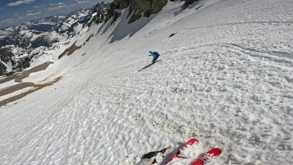
We managed to keep skiing until just past Lewis Lake, at which point we put our skins on for the last time and skinned back up to Heather Pass to carry our skis a bit more and then ski through the twigs and needles back to the TH.
Takeaways:
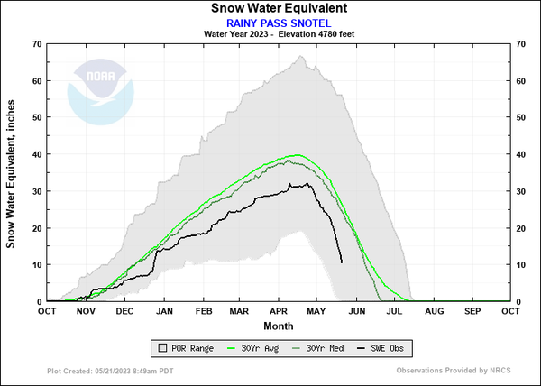
- The route is probably best as early as possible after Highway 20 opens for the season, given that it covers nearly 5000' of altitude. Checking on the nearby Snotel stations will help tell the story of the snowpack, too. See plot below that says, roughly, "2023 mid-May is typical mid-June".
- Approach shoes may be worth the space in your pack if getting on the summit of Black Peak is a priority. The last bit of climbing isn't difficult, but there is significant exposure.
(Some photos here from Barton Place.)
 Paul Brown