
Trip Report
Day Hike - Tiger Mountain Trail
A nice day out to South and Middle Tigers via the lesser known and lightly traveled southern route in Tiger Mountain State Forest.
- Sat, Jul 9, 2022
- Day Hike - Tiger Mountain Trail
- Tiger Mountain Trail
- Day Hiking
- Successful
-

- Road suitable for all vehicles
-
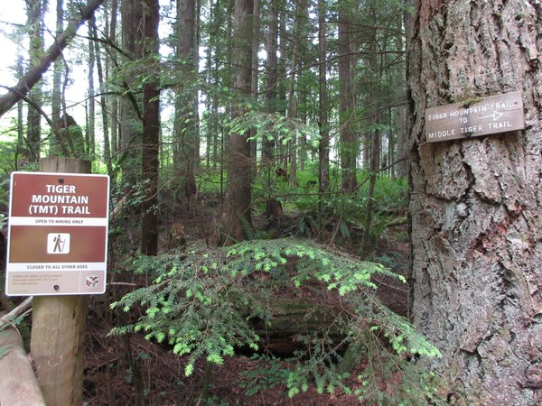
We started from Tiger Mountain Road SE and navigated a few junctions along the way that would be confusing without GPS, even though the signage is generally very good. Green Trails Map 204S dated 2017 incorrectly shows the South Tiger Mtn summit as the "south" hump at 2,028. The "north" hump is higher at 2,040. Also, the trail shown on that map to the south hump is non-existent, apparently obliterated by the clear cut; the route to the north hump is similar in shape, so I suspect the route was drawn incorrectly. It could also be that the easy to find north hump trail was created after the map was printed.
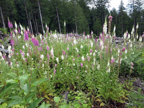
It was a good weather day with high clouds and sun, not very hot and cool breezes in the shade. It's definitely worth exploring that area, and you won't see many people. We saw maybe a dozen others the whole time. Several stretches of trail are overgrown to the point where it felt like we were in a jungle! And Foxglove blooms were everywhere, fields of them in the clearcuts and many along the trails. Some of them looked around 10 feet tall!


Plenty of brush bashing with some thorny branches out to get us:

I didn't get photos of us on the South Tiger north hump, and Middle Tiger was a nice prize after our brushy adventures! Total rt mileage was 11.5 with 2,540' gain.

 Nancy Lloyd