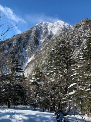
Trip Report
Winter Scramble Attempt, Kai-Komagatake, in Japan's Alps
Deep snow prevented reaching the summit, but it was a great workout and still a beautiful morning in the woods.
- Fri, Feb 18, 2022
- Hike and Scramble in Japan's Northern Alps
- Scrambling
- Turned Around
-

- Road suitable for all vehicles
-
The route was filled with a good deal of wind deposited snow. I had my poles at the 120cm (a bit under 4ft) setting and it was common to hit patches where the snow reached the top of the poles. I even found 2 different spots where I sank in well over 5.5ft and had to excavate my way out. Unfortunately the windward side of the ridge was exposed and unsuitable for travel so I was unable to avoid traveling in the deep powder.
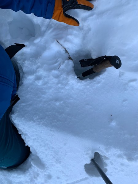
This was my third monthly attempt to make a winter summit of a significant peak in the Japanese Alps, which was thwarted by deep snow and a tight timeline.
Mt. Kai-Komagatake is a 9,734ft peak located to the north of Japan's second highest mountain, Kitadake (10,476ft).
There are two main approaches to summit Mt. Kai-Komagatake, one which provides a more direct approach from along the east ridge, and another which comes in from the north to a saddle between Kai-Komagatake and Senjogatake. In the summer one can simply take a bus service to this saddle, making either peak a simple day-hike. However, in winter this road is closed, and the east ridge becomes the most direct, albeit less scenic route to the summit of Kai-Komagatake. The overall map-distance of the route is 10.9 miles and a little over 8,000ft of elevation gain. There is a mountain hut at 7,750ft that is maintained throughout the winter, as such most locals do this climb as a 1-night trip, summiting and descending on the second day.

For the east ridge, there is a well maintained parking lot for the Ojiragawa River and Mt. Hinatayama hiking trail that will be accessible for all vehicles barring a significant weather event. Chains would be advised, my rental car did not come with the option and despite some ice on the road, it was never too steep to make me uncomfortable staying controlled on the descent.
I had a farewell event for a coworker backstopping my trip so I planned it as a single push, catching a bit of sleep in the parking lot and departing at 2:45am. The parking lot was quite dry and I thought I would be able to stay on the windward side of the ridge, so I left the snowshoes in the car to save weight.
There were no issues and I was moving quite efficiently until about 3,250ft, at which point I started to hit the snow deposits. By 4,000ft the snow was consistently deep. I didn't think my day-trip had much chance of success but I decided to keep going until my turnaround time of 10:15am. At 9:45am I arrived at the last saddle prior to hitting the summit ridge (about 7,300ft), where I finally got some views of the summit, and the 'famous' set of stairs that the route is known for.
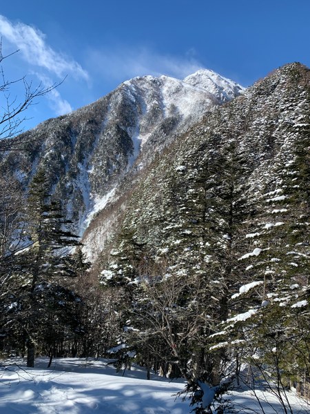
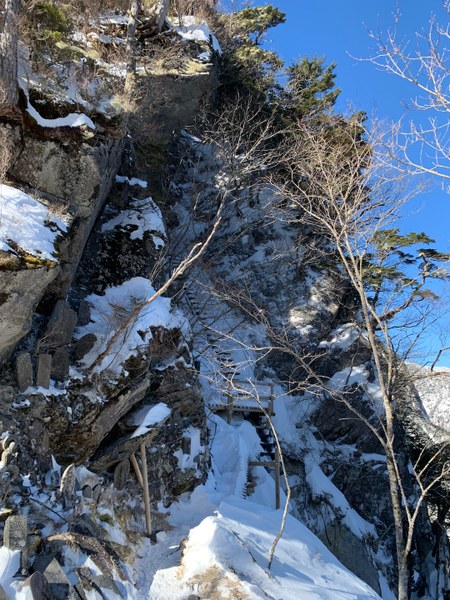
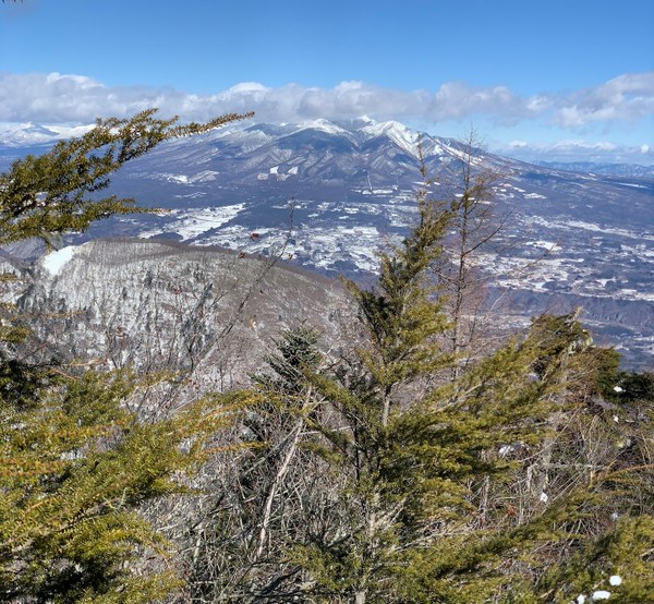
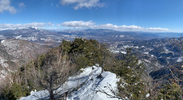
I continued up the stairs, which were not secure in the snow and ice, often times there wasn't much to hook an axe pick or crampon point on or in. After hitting 10:15am I turned around and started back down. The going was much easier in the track that I had plowed out, so after 7.5 hours ascent I made it back to the car in a bit under 4 hours. The Yatsugatake range was visible with great clarity from the open sections of the ridge, and it was an otherwise straightforward descent to the parking lot.
 Nathan Derrick