Trip Report
Winter Scramble - Blowdown, Dixie Peak
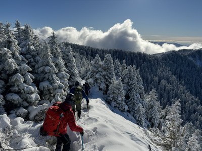
A brisk and strenuous day made more so by a recent (day before) foot of light powder snow plus brilliant (and cold) blue skies. We renewed our ‘winter scramble chops’ with the snow covered brush and talus terrain on the ridges between Blowdown and Dixie.
- Sat, Dec 23, 2023
- Winter Scramble - Dixie Peak
- Mount Si Old Trail
- Scrambling
- Successful
-

- Road suitable for all vehicles
-
The recent foot of powder snow made for invigorating brush bashing (brrrr ;) on our ascent route between Blowdown and Dixie (red dots in following map).
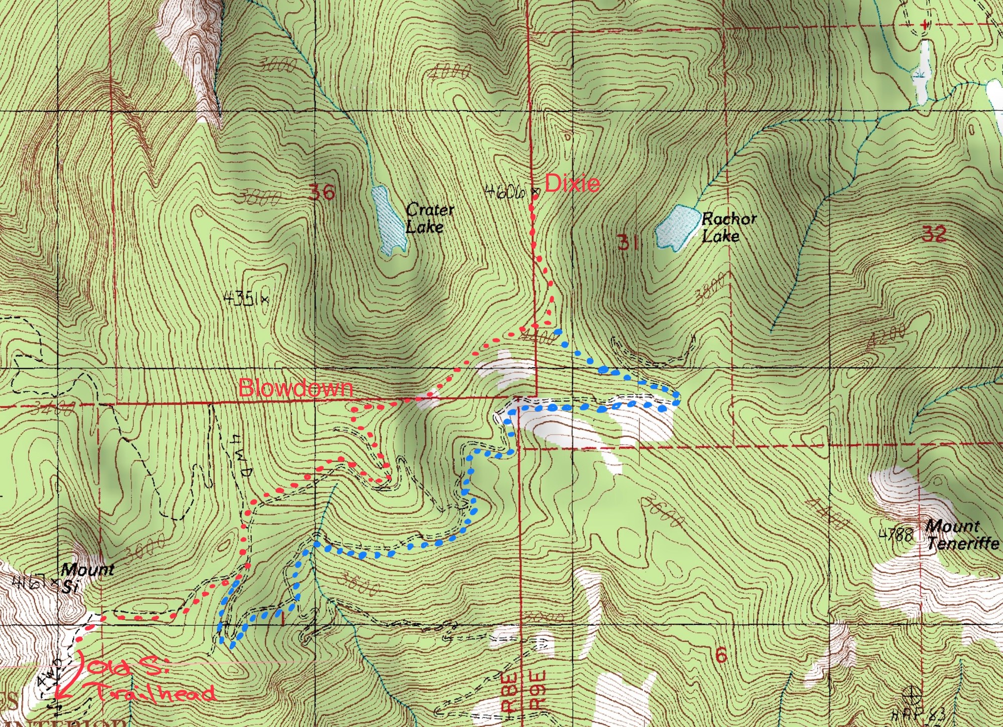
After bringing but not using snowshoes on several recent trips (of similar elevation), plus zero visible snow seen from W Tiger 3 a few days before, we took a chance and left our snowshoes at home (yikes !). Fortunately our only non-snowshoe post-holing (not excessive, tolerable) was on the old logging road leading to Blowdown from ~3800’ on up. This affinity between post-holing and logging roads could have ruled out a descent via the Teneriffe approach, but we fortunately encountered a party on Dixie that had come that way who reported a well broken track on that route (thank you Teneriffe folks !). Our ascent via Blowdown (red dots) and return via the Teneriffe approach (blue dots) added a mile to our distance, for a total of 13 miles with 5000’ of elevation gain. We brought but did not use micro-spikes.
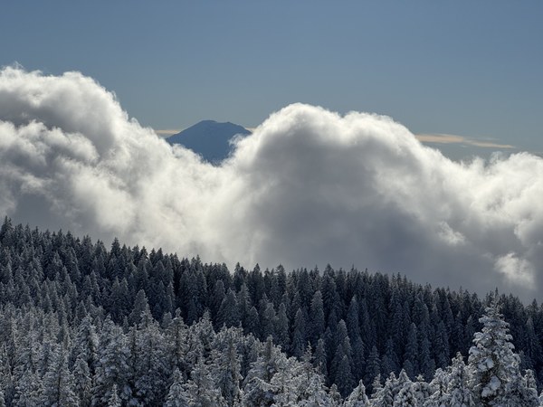
A great day in the mountains with a relatively light snow cover for this time of year. With the cold temperatures (in the 20s °F) we kept moving most of the day with only a few substantial breaks (base of Haystack, summit of Dixie). On the final approach to Dixie we were surprised to see Mount Rainier almost perfectly aligned with the ridge crest…
… a wider view showing the low spot in the ridge where it intersects the Teneriffe approach (easternmost blue dots on the map).
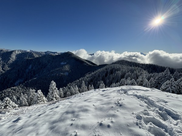
After a brief lunch on the summit…
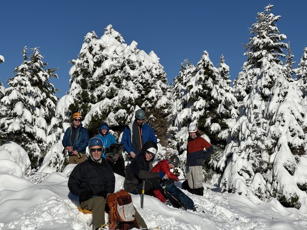
… we soon headed down to intersect the Teneriffe route.
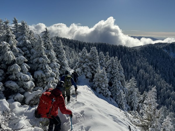
Looking back towards our lunch spot on Dixie (the trees to the right of the bald summit), at the low spot in the ridge, just 40 minutes after heading down…
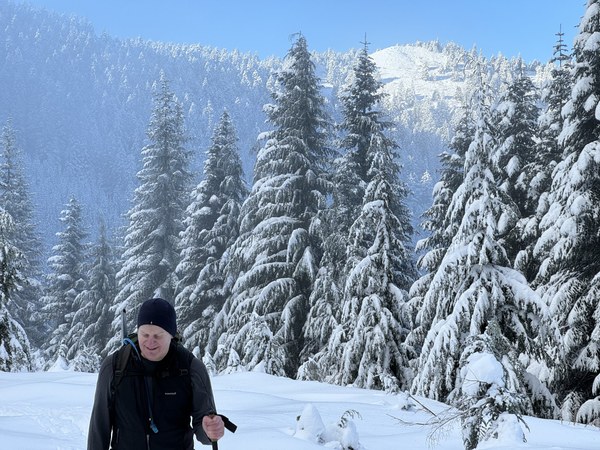
… and a final glimpse of the sun near the Haystack.
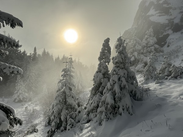
A wonderful workout on this 5000’ gain/13 mile trip with 5.5 hours on the ascent, 4 hours on descent, and a total of 9.5 hours car to car. We achieved our plan of 7AM to just before 5PM (dusk to dusk) which allowed us to not use our headlamps. Photos from this as well as other trips in this area can be seen here. A past trip report for the Blowdown - Dixie route can be seen here, and a report for the Dixie via Teneriffe approach can be seen here.
.
 Dave Morgan