Trip Report
Alpine Ice Field Trip - Ice Climb - Observation Rock/North Face
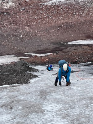
The face is still climbable, though narrow, making deconfliction of rope teams harder. Lots of pebble/cobble-sized rock fall to be alert to. Beginnings of a bergschrund on the top did not affect the climb. Have to wonder how many more years this will be worth it and safe to climb.
- Sat, Sep 23, 2023
- Alpine Ice Field Trip - Ice Climb - Observation Rock/North Face
- Observation Rock/North Face
- Climbing
- Successful
-

- Road suitable for all vehicles
-
Spray Park trail is in great shape with quality log stream crossings and very nice rock steps throughout. Cross country to the climb was mainly snow-free, dry and fairly easy to follow. Some scree and boulder fields to negotiate that were not as bad as many in the area. Lower ice face is rock and scree covered making the final approach to the climb-proper a little bit of a test. All in all, the approach is in great shape and the climb is passable.
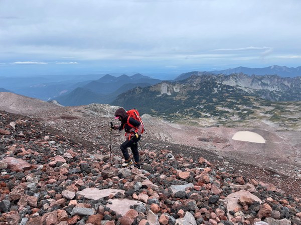
Final Scree and Ice Approach Below Ice Face
Road to Mowich Lake is not nearly as bad as it can be - any vehicle that drives can get there right now. Washboarding not as bad as it often is.
The Spray Park trail is in great shape with great log crossings of any sizeable stream making the approach very easy.
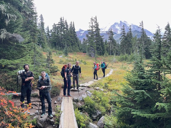 Typical Stream Crossing on Spray Park Trail
About 4.5 miles from TH to start of the cross-country route to the climb. We started at 0600 because of the length/time of the trip and precipitation forecast to start at 2PM.
About 1.5 miles of way trail, with some boulder hopping and scree negotiation to get to the base of the climb. We did most of the approach in approach shoes and shifted to boots just prior to the final scree/ice approach to the climb-proper.
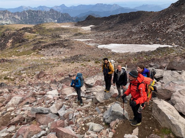
Added crampons very soon after as the final approach was thin scree over glacial ice.
We simul-climbed the first 2 pitches worth of the ice as it was lower angle and below rock bands that were giving up small rockfall frequently. Once above the first rock/dirt band we pitched out the remaining 1.5 pitches to the top of the ice.
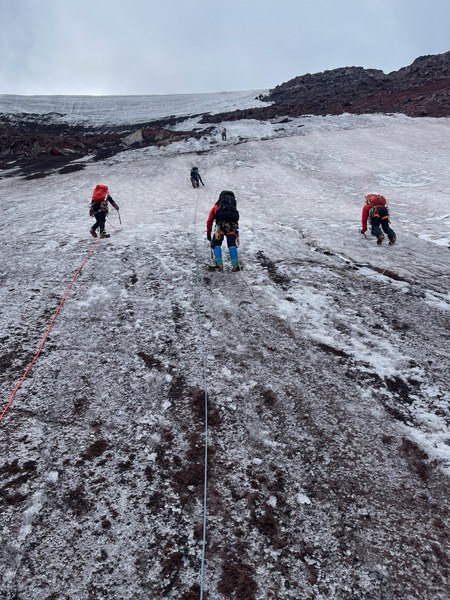
We finished the ice climbing part of the trip as the predicted precipitation arrived - blowing snow/sleet at 8000'.
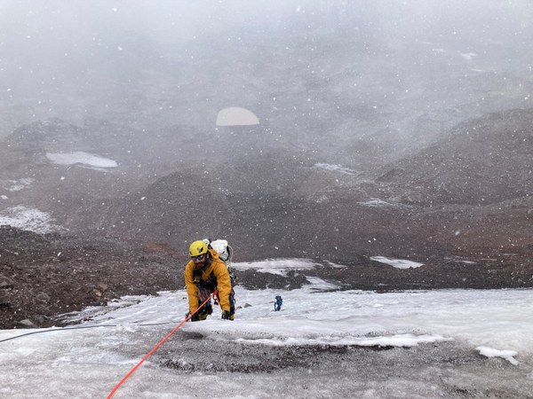
We completed the technical climb at the top of the ice face, unroped, sorted some gear and did the final climb to the summit of Observation Rock in gusty winds to 30-45 mph and a pretty good snow storm to make us feel as if we had done some ice climbing.
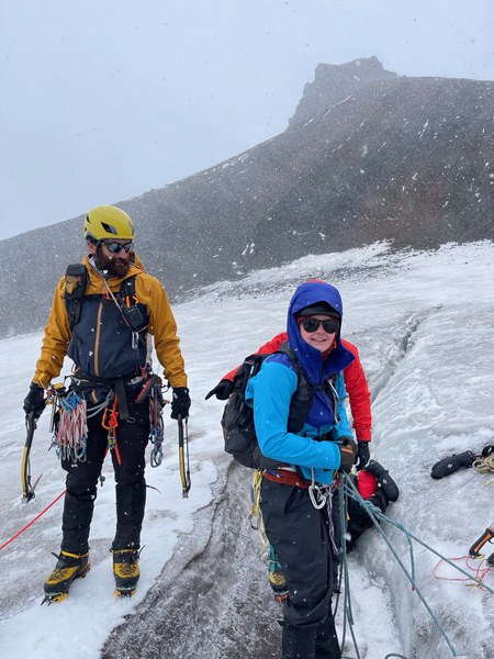
We spent a few minutes in the lee of the summit block for a few photos and quickly made our way north around to the right of the cliffy area just below the summit and made our way along the ridge in a sand-blasting snow storm.
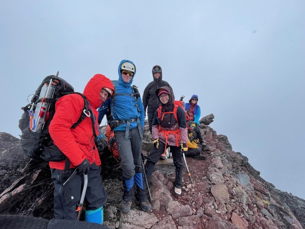
Once off the ridge and out of the wind we started north over a boulder field rather than around it. This resulted in a little route finding work to get down onto the Russell Glacier and a walk - back in crampons - to intersect our climbing route.
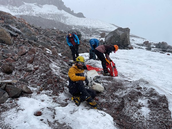
From there we down climbed boulders and scree to the shelter along the route, shifted to approach shoes, took a short break and then hiked out arriving at the trailhead just before nightfall.
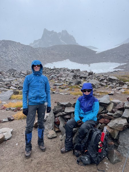
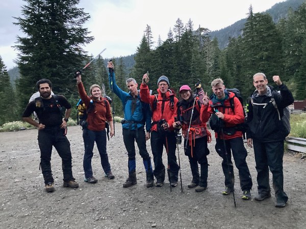
All in all, 12.8 miles, 4000' net gain and 13 hours for the round trip. Finished minutes too late to get to Carlson Block Pizza in Wilkeson before closing time, so that was the unrealized objective for the trip. Otherwise a great climb with a great group of new ice climbers.
 Jerry Logan