Trip Report
Cement and Lake Basin Ski Tour
Bluebird powder day in the backcountry.
- Sat, Feb 11, 2023
- Backcountry Ski/Snowboard - Crystal Mountain Backcountry
- Crystal Mountain Ski Area
- Backcountry Skiing
- Successful
-

- Road suitable for all vehicles
-
With a significant snowfall (~15") at Crystal on the preceding Wednesday plus a few inches on the day before (Friday), we expected N-facing aspects to still hold cold, soft snow, and they did indeed.
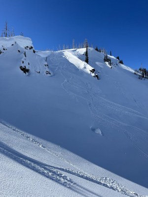
The NWAC forecast had the day at yellow-yellow-green, and we did observe some of the forecast wet-loose activity exactly where expected — on S aspects near exposed rock. We happened to bump into NWAC Forecaster Andy Harrington on the skin track; his observation from the day is online.
We experienced some weak crust on our WSW ascent aspect that had softened enough to make for enjoyable skiing on our descent in the afternoon.
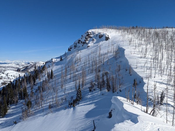
We took an approach that deviated from the usual Bullion Basin approach at around 5600' and then followed a roughly NNE bearing up to about 6600' on the shoulder NNW of East Peak. The snow on our WSW ascent aspect was stable and soft with just a bit of crust from the previous day's sunshine, with some variability based on altitude and microterrain features.
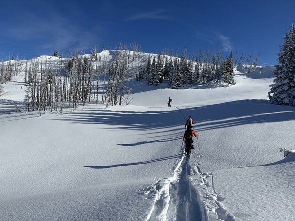
At the ridge, we transitioned and dropped into Cement Basin on excellent snow to about 6000', although the last little bit of vertical wasn't particularly worthwhile. We transitioned there and skinned on a slightly rising path to meet the Basin Lake Trail, where we followed an established skin track up to the col at 6400' that is SSW of Basin Lake.
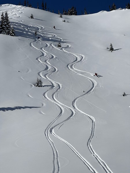
The ridge that runs W above the col holds a large number of N-facing lines that held deep, cold snow that made for excellent skiing, and we took multiple laps there, with enough space and snow to share with some other parties in the area.
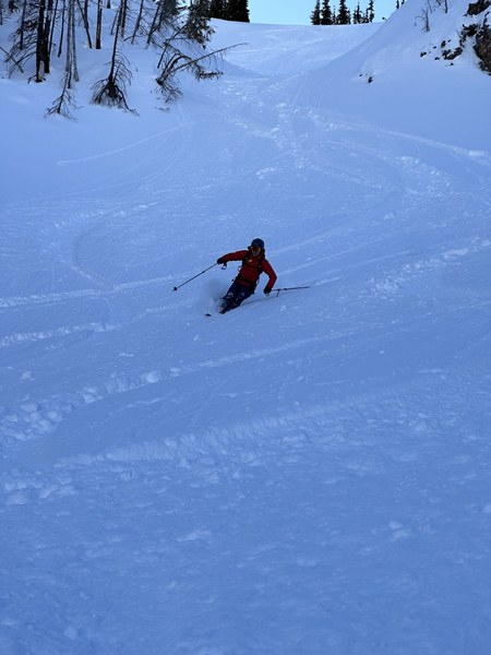
To exit the zone, we skinned along the ridge (looking wistfully down even more enjoyable N-facing ski lines) and transitioned at the high point at 6750' above Scout Pass.
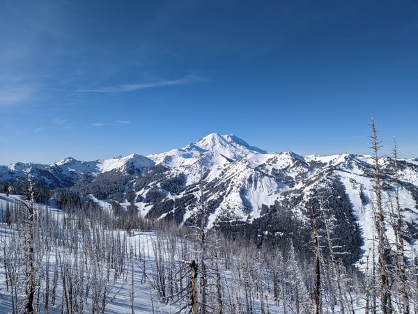
We took an approximately WSW line on our descent that split the difference between the lines marked on some maps and in some guidebooks as "Clubhouse Bowl" and "Ted's Buttress". Most of the descent was enjoyable skiing, but the last 100' of elevation loss to intersect with the Bullion Basin trail was thoroughly overgrown with slide alder and small trees filling in the gaps between already tight trees. (Looking at NAIP satellite imagery from 10y ago versus 5y ago confirms that this area has filled in significantly.) A longer traverse on the ski down, roughly following the PCT S to about 6350' and then skiing fall-line would provide an enjoyable descent (labeled "Solar Slab" in some guidebooks) with a relatively thin perimeter of vegetation to punch through to get back to ascent/exit trail.
 Paul Brown