Trip Report
Day Hike - Anti-Aircraft Peak
Snowy hike at accessible local trail system.
- Sun, Mar 3, 2019
- Day Hike - Anti-Aircraft Peak
- Cougar Mountain: Sky Country Trailhead
- Day Hiking
- Successful
-

- Road suitable for all vehicles
-
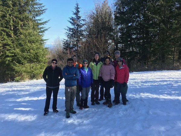
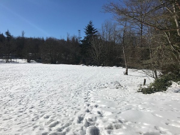
The trail was covered in snow the entire route, beginning at the parking lot. The route was well traversed and snow was well packed. Our group felt more comfortable with the use of microspikes. There were many branches overhanging the trail which our group took care to avoid swinging in to the face of other participants.
Our party met at the trailhead at 9 am on a perfectly sunny and clear day. There are updated maps at the trailhead, be sure to pick one up, this trail system can be tricky, especially with the snow.

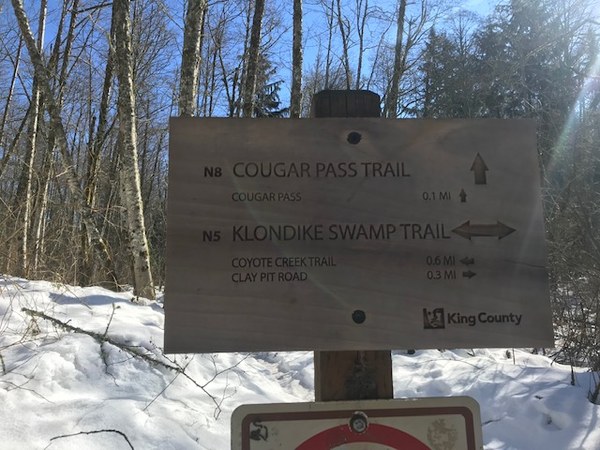
We opted for a loop route, beginning with Clay Pit Road, taking a left on Klondike Swamp and following that to a right on Cougar Pass and then followed Harvey Manning to the summit. We enjoyed a quick lunch and a slightly obstructed view from the picnic area at the the summit of Anti-Aircraft peak and began our descent back to the trailhead via Lost Beagle. We made a wrong turn back at Klondike Swamp, where we intended to intersect with Coyote Creek, but this slight oversight was easily corrected by continuing down Klondike and connecting back with Clay Pit Road that brought us back to the trailhead.

Microspikes were handy for the snow, it was hard packed and icy in some areas. This trail is marked well with signs but can be tricky to navigate on the fly. I opted to write out turn by turn directions for the summit route, but a last minute trailhead decision to change to a loop hike was the downfall in navigation.

We still had a fantastic time in the snow and enjoying the sunshine. Each member took turns leading the group and setting the pace and participating in navigation.
 Amanda Konenkamp