Trip Report
Alpine Scramble - Banshee Peak
Clean air and impromptu geology lessons on the summit - what more could you want?
- Sat, Oct 15, 2022
- Alpine Scramble - Banshee Peak & Cowlitz Chimneys
- Banshee Peak & Cowlitz Chimneys
- Scrambling
- Successful
-

- Road suitable for all vehicles
-
There is no snow left anywhere on the route. The crossing of Fryingpan Creek still involves a bit of rock hopping to reach the bridge but is short and easy. The second major creek crossing between Summerland and Panhandle Gap involves slightly more difficult rock-hopping but is still straightforward.
Banshee Peak was a last-minute change of location after the AQI of our original location (Alta Mountain) shot up to “unhealthy” and was not expected to get better. Some quick research and a flurry of emails later we had relocated to Banshee Peak, a trip of similar mileage, gain, and technical difficulty, but with a forecast of significantly better air.
Although I knew that the parking area at the trailhead is small, and that it can fill early, I was still surprised to see it full in mid-October at 7:45am. Luckily we had consolidated into 2 cars and one car had arrived early, securing a parking spot. Being resourceful Mountaineers, we quickly solved the problem by stacking the second car behind the first one front-bumper-to-back-bumper.
The air quality was even better than expected and we made quick work of the trail up to Summerland, arriving in under 2 hours. The crossing of Fryingpan Creek on the way to Summerland still requires some rock-hopping, but it was no problem on the ascent or descent. The second major creek between Summerland and Panhandle Gap required just a bit more thought to cross in the morning but also didn’t present any real problem. On our return in the afternoon this creek was flowing noticeably higher and crossing required just a bit more time to find suitable rocks to place feet upon.
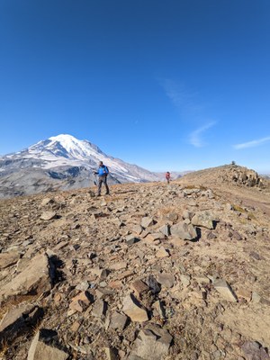
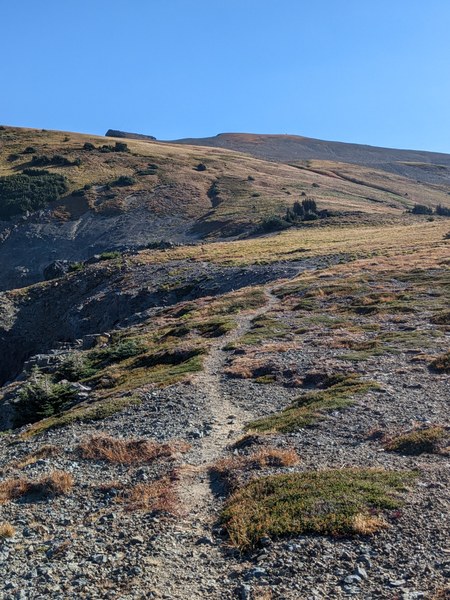
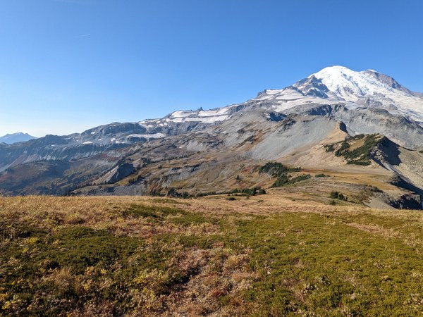
From Panhandle Gap we followed a well-defined boot path initially, then a fainter one that came and went. There is no snow at all left on the route. Although we had beautiful expansive views, it was shocking to see how dry and brown all the vegetation was. The contrast between our photos and ones from Jerry Linde’s August trip to Banshee is striking. What a difference two hot dry months make.
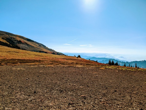
Fall color and fires burning to the southeast. Photo by Sahand M.
On our way up to Banshee we got onto the topic of basalt columns, and wondered how they were formed. When we reached Panhandle Gap, we had some cell service, but not enough to query the all-knowing web to answer this burning question. As luck would have it, we were on the peak at the same time as a professional geologist, who obliged us by holding office hours on the summit. He not only explained the formation of basalt columns but shared several other geologic tidbits with us. You never know who you’ll meet on a summit.
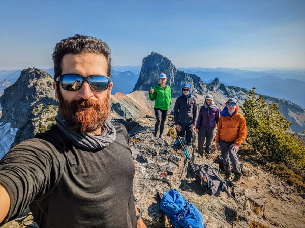
Photo by Sahand M.
From the summit we could see thick smoke from the Goat Rocks fire and were very thankful to be north and above the smoke. Although it did get hazier in the afternoon, the air never felt unhealthy.
From the summit we saw a group of 4 goats in the shade of Cowlitz Chimney Central peak and saw a second group of 3 on our way down.
After a long break on the summit to eat, rest, take in the scenery, and learn geology, we headed down by the same route. We were back to cars before 4pm. Although more of a hike than a scramble when the snow is gone, we all agreed that it was a very enjoyable day with a great group.
 Mary Lou Biggs