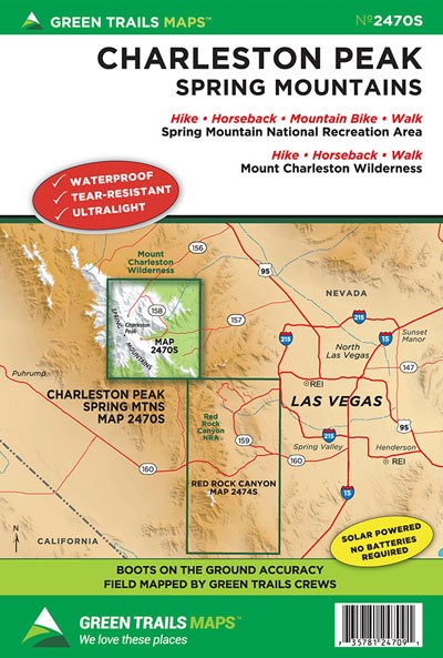
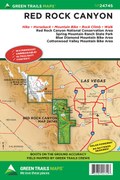
Charleston Peak, NV No. 2470S
Green Trails Maps

Description
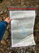
Hike to the roof top of Las Vegas. At 11,918-feet, Charleston Peak is the highest summit in the Spring Mountains and it lies a mere 35 miles northwest of the sprawling city. Explore this peak, much of the surrounding 57,400-acre Mount Charleston Wilderness Area, Lee Canyon and Kyle Canyon with this exceptionally detailed 1:24,000 scale special series map. Map includes the Charleston Peak National Recreation Trail, Griffith Peak Trail, Fletcher Canyon Trail, Upper and Lower Bristlecone Trails and the Bonanza Trail. Use this map to visit seasonal waterfalls, windswept summits and lofty ridges providing views from the Las Vegas Valley to the Death Valley; and groves of bristlecone pines, some of the oldest trees on the planet living up to 5,000 years.
Reprinted 2021
Map Scale 1:24,000
CLICK HERE to search all maps via Green Trails interactive map feature.
Reprinted 2021
Map Scale 1:24,000
CLICK HERE to search all maps via Green Trails interactive map feature.


