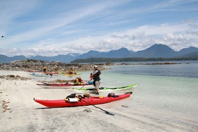
Field trip: Sea Kayak Navigation
Navigation and Trip Planning Field Day - Quartermaster Harbor
On the water field day for the Kayak Trip Planning and Navigation Course
- Sun, Sep 10, 2023
- Tacoma Branch Sea Kayaking Program
- Sea Kayaking
- Adults
- Moderate
- Mileage: 7.0 nm
- Maximum Wind: 10 kts
- Maximum Waves: 2 ft
- Maximum Currents: 2 kts
- Pace: moderate
- 3 (13 capacity)
- 2 (5 capacity)
- Fri, Mar 10, 2023 at 12:21 PM
- Fri, Sep 8, 2023 at 11:00 PM
- Cancellation & Refund Policy
- iCal Google
This will be an on-water exercise of the concepts learned at the lecture. We will practice Dead Reckoning, fixing our location, paddling a heading, taking a bearing on water, determining our course, finding out our paddling speed, using ranges, and utilizing the bow angle method to evaluate for collision potential.
TBD. Likely Owen Beach, Point Defiance Park, ready to launch at 9 AM. Will discuss at the lecture on Saturday.
Quartermaster Harbor
-
MapTech Oak Bay to Commencement Bay No. 102
MapTech Puget Sound Chart No. 100
NOAA Puget Sound: Shilshole Bay to Commencement Bay No. 18474
NOAA Puget Sound: Southern Part No. 18448 - See full route/place details.
Required Equipment
routine day paddle stuff;
Kayak with floatation in both ends, pfd, sprayskirt, deck or hand compass (prefer both), long brimmed (baseball type) cap, drysuit, Maptech 100 chart, waterproof watch, spare clothes, food and water, basic first aid kit for yourself.
You do not need fire starter, paddle float, sunscreen, repair kit.
