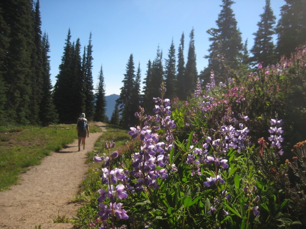
The Upper Palisades Lake trail begins at Mount Rainier’s northeast corner off Sunrise Point located on Sunrise Road. The trail is considered strenuous, as it undulates across White River Park, up and over small ridges, before reaching the Upper Palisades Lake.
My hiking partners and I managed to hike a little over 10 miles roundtrip, with a moving time of 4 hours and 36 minutes. We included Hidden Lake and Brown’s Peak on our hiking adventure. These two places should not be missed! The views alone make the extra mileage and elevation gain worth every step.
Sunrise Point
To start off the hike, park at the Sunrise Point parking lot, which is a large stone bordered observation loop offering nearly 360-degree views of the surrounding valley. Sunrise is known for its up close and personal views of Mt. Rainier. Subalpine meadows converge with alpine tundra, steep valleys, white silty rivers, and dramatic rock vistas. On clear days it is an excellent viewing area for observing the Tatoosh Ridge and Mt. Adam’s to the south, Goat Rocks to the southeast, Mt. Rainier to the west, the William O. Douglas Wilderness to the east, and Mt Baker to the northwest. The opening of the road to Sunrise is heavily dependent upon the snow levels. It typically closes in early October and not re-opening until early July. Because of the brief time frame for adventuring on this side of the mountain, I try to visit as often as possible during the summer months.
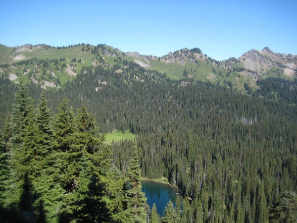
From the Sunrise Point parking lot head northeast to the interpretive signs. Behind the signs your journey begins. Sunrise Ridge runs between Sunrise Creek and the White River in the northeast corner of Mt. Rainier National Park. Cross the rocky bench along Sunrise Ridge and quickly head downhill across a scree field.
Once across the scree field we entered a dense forest, cool in the early morning light, where we traversed through a subalpine forest of dense hemlock, Alaskan yellow cedar, white bark pine, and subalpine firs. Right before we entered the forest, bistort, lupine, and scarlet paintbrush lined the trail. However, the wildflowers within the forest were few and far between, having already spent their blooms so as to set seeds for the fall.
Within the forest we came across several areas of patchy lingering snow; I thought we were super lucky to have found these few snow patches because it gave us, even for a brief moment, a reprieve from the sweltering summer sun. Unfortunately, I noticed evidence of hikers traipsing across the land to avoid getting their feet muddy. These wayward boot imprints are widening the trails, trampling and destroying young subalpine plants, and in some instances, creating brand new trails.
Clover Lake
Coming out of the forest we entered a lush meadow filled with sitka valerian, pink mountain heather, and smooth mountain dandelion. We crossed several small creeks, over a ridge, and down past a stand of silver white trees dead from a fire long ago. Once over another ridge we dropped down into the valley where we arrived at the second lake - Clover Lake. From my vantage point I thought it vaguely resembled the slightly curved shape of a clover leaf.
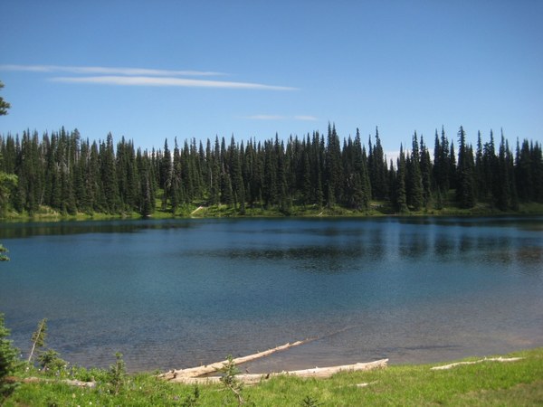
As we approached the lake, we couldn’t wait to rest in the shade beneath the trees and have a bite to eat. However, the biting mosquitoes made themselves known. Even with Permethrin, Picaridin and Deet, the mosquitoes were not to be trifled with! One of us had the foresight to wear bug netting over their head, and they escaped with relatively few bites. Those monsters put the kibosh on any lingering in this tranquil setting. At this point it was every man and woman for themselves as we hastily beat a quick retreat back to the main trail.
Onwards towards Hidden Lake
After escaping from Clover Lake we dove into another dense forest, thankful for the cool shade, quickly losing elevation as it dropped us into the next meadow. The trail through the meadow was wide and sandy beneath our feet; the gentle morning breeze gave way to early afternoon heat; the silence was broken only by bees buzzing around the wildflowers and crows cawing out their hellos.
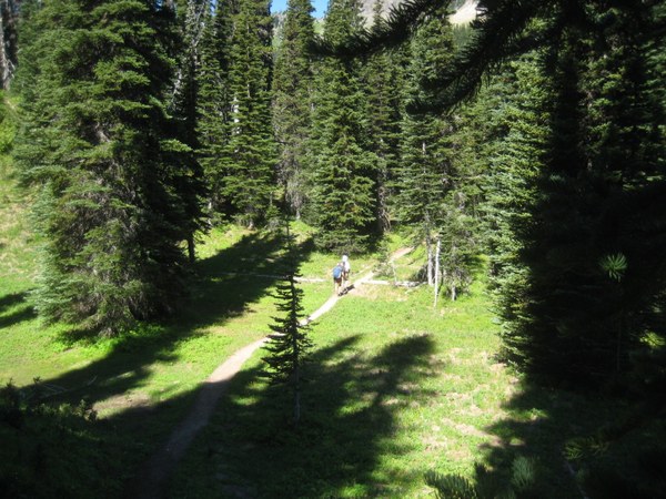
From here we continued gaining elevation, crossing over and down another ridge. We came out in a grand meadow. As we hiked through the meadow we slowly climbed up into another shaded forest. The forest emptied out to an impressive rocky scree area, with another creek crossing, and more meadow wildflowers to take in - Lewis monkey flower, marsh marigold, and bracted lousewort.
Passing by several alpine lakes, we pushed on towards one of our prized destinations: Hidden Lake. The trail up to Hidden Lake is short in length (about .6 miles), steep, narrow, and rocky with a few exposed areas. The views from the trail keep getting better and better the higher you traverse along the ridge.
Halfway up the ridge a delightful creek crashes jubilantly over the trail. My hiking partners and I stopped to relish the cold mountain water, knowing that the trail upwards would be exposed with few spots to seek refuge from the summer suns relentless rays.
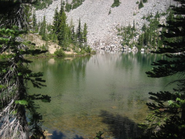
Hidden Lake is a true gem of alpine lake. It is clear, cold, and a delightful place to swim or soak your hot, sweaty feet. The approach to the lake brings you in from the south side of the lake, walking a short distance along a sandy path through a forest woodland, then crossing over a short bridge delineating a wetland pond from the main lake. Here we saw tadpoles, salamanders, and a frog. From the bridge, we walked a short distance along a wide bench with wildflowers framing both sides of the trail. The lake is set against an ancient lava flow and meadow areas dot the boulders on the banks of the lake. We noticed lava columns above us, which are formed from basaltic andesite that took on this signature hexagonal shape as the molten lava cooled years and years ago.
An eerie feeling amidst the tranquility
From our snowy snack spot we could observe the hillside across in better detail. Avalanche debris was scattered all over where we were standing. Across the lake, high up the hill you could trace the path of a recent avalanche that probably occurred sometime during the spring. The distinct line of snapped trees and avalanche debris at our feet lent an eerie, unsettling feeling to this otherwise tranquil place. We choose not to linger very long.
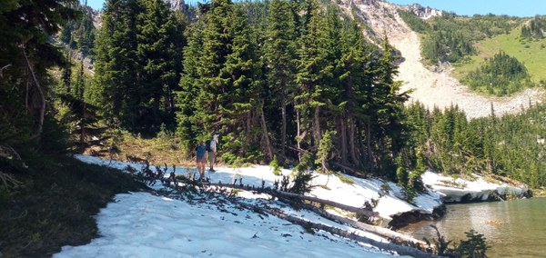
Palisades Lake
Hiking downhill from Hidden Lake, we stepped cautiously; it would have been easy to trip and fall off the narrow rocky path. At this point, we only had 7/10th of a mile through a meadow before we hit the Upper Palisades Lake. Walking through this meadow warranted a slow meditative pace. A pace that allowed us to bend down and observe the small white flowers dotting the path. It begged for us to sit down and breath deeply – to inhale nature’s quite peace.
Palisades Lake is a sight to behold! Deep, turquoise water, andesitic lava, butterflies, wildflowers, deer, babbling creeks, and more. It is beautiful, restful spot.
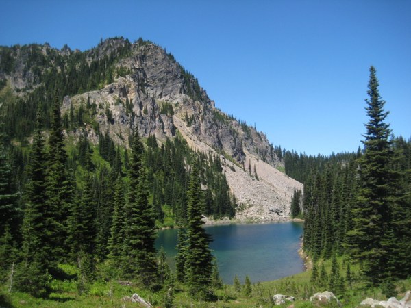
We chose to take our boots and socks off to dip them in the cold fast moving creek while we ate lunch. Savoring the stillness, we were amazed and overjoyed that we had not seen a single soul since we passed Clover Lake several hours before.
Extra credit
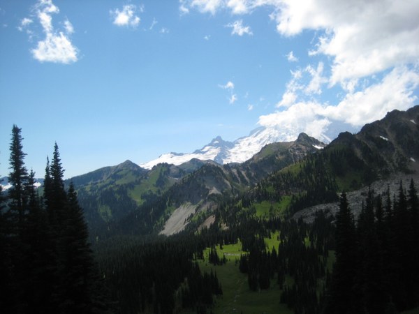
After lunch we decided to make the climb up to Brown’s Peak on our return trip. While on top of Brown’s Peak there was ample evidence that deer, elk, coyote, and mountain goats roam freely here. The views from Brown’s Peak are spectacular. If you have the time and inclination, head up and see for yourself.
The Return
Once off Brown’s Peak, we returned to Sunrise Point. As the early morning light shifted into an afternoon glow, we watched in awe as the landscape - lakes, meadows, and mountains -changed colors. As Mary Davis stated, “To walk in nature is to witness a thousand miracles.” We did our best to take it all in.
VISITING Upper Palisades Lake Trail
Rules and regulations:
- National Park Pass $80.00, Mt Rainier Annual Pass $55.00, Day use fee $30.00 (for up to 7 days).
- Sunrise Visitor Center is CLOSED due to COVID-19. Look for rangers at information stations near the visitor center 9:00 am - 5:00 pm daily. For more information, call (360) 663-2425.
- Drones are not permitted in Mount Rainier National Park.
- Dogs are not permitted on the trails at Mount Rainier National Park (Service animals are the exception). Dogs (on a leash) are allowed on paved roads and parking areas.
- Please practice Leave No Trace principles
Day exploration
- Be prepared for rather quick changes in weather and temperature.
- Bring binoculars
- Be prepared for mosquitos
- Carry the 10 Essentials
Activities
- Looking for a tasty treat for after a full day of hiking? We usually stop for a delicious ice cream at Wapiti Woolies in Greenwater.
Directions
- Sunrise is accessed via SR 410. Turn right onto Sunrise Road for 13 miles viewpoint and trailhead parking.
 Regina Robinson